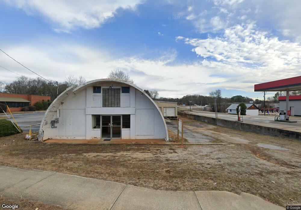
1631 Big a Rd Toccoa, GA 30577
Estimated Value: $227,486
Studio
--
Bath
3,333
Sq Ft
$68/Sq Ft
Est. Value
About This Home
This home is located at 1631 Big a Rd, Toccoa, GA 30577 and is currently estimated at $227,486, approximately $68 per square foot. 1631 Big a Rd is a home located in Stephens County with nearby schools including Stephens County High School.
Ownership History
Date
Name
Owned For
Owner Type
Purchase Details
Closed on
May 15, 2024
Sold by
Broken Bridge Farms Llc
Bought by
Borys Kamil P
Current Estimated Value
Purchase Details
Closed on
Nov 3, 2022
Sold by
Virani Ramzanali
Bought by
Broken Bridge Farms Llc
Purchase Details
Closed on
Nov 23, 2021
Sold by
Keener Investments Llc
Bought by
Virani Ramzanali
Purchase Details
Closed on
Aug 4, 2021
Sold by
Harvey Stanley A
Bought by
Keener Investments Inc
Purchase Details
Closed on
May 20, 2014
Sold by
Harve Harvey Mary Beth
Bought by
Harvey Stanley A
Create a Home Valuation Report for This Property
The Home Valuation Report is an in-depth analysis detailing your home's value as well as a comparison with similar homes in the area
Purchase History
| Date | Buyer | Sale Price | Title Company |
|---|---|---|---|
| Borys Kamil P | $216,000 | -- | |
| Broken Bridge Farms Llc | $210,000 | -- | |
| Virani Ramzanali | $140,000 | -- | |
| Keener Investments Inc | $120,000 | -- | |
| Harvey Stanley A | -- | -- |
Source: Public Records
Tax History
| Year | Tax Paid | Tax Assessment Tax Assessment Total Assessment is a certain percentage of the fair market value that is determined by local assessors to be the total taxable value of land and additions on the property. | Land | Improvement |
|---|---|---|---|---|
| 2025 | $1,554 | $56,603 | $46,200 | $10,403 |
| 2024 | $1,724 | $56,603 | $46,200 | $10,403 |
| 2023 | $1,685 | $56,603 | $46,200 | $10,403 |
| 2022 | $1,667 | $56,603 | $46,200 | $10,403 |
| 2021 | $1,770 | $56,603 | $46,200 | $10,403 |
| 2020 | $1,788 | $56,603 | $46,200 | $10,403 |
| 2019 | $1,795 | $56,603 | $46,200 | $10,403 |
| 2018 | $1,795 | $56,603 | $46,200 | $10,403 |
| 2017 | $1,823 | $56,603 | $46,200 | $10,403 |
| 2016 | $1,795 | $56,603 | $46,200 | $10,403 |
| 2015 | $1,880 | $56,603 | $46,200 | $10,403 |
| 2014 | $1,739 | $51,520 | $41,600 | $9,920 |
| 2013 | -- | $51,520 | $45,880 | $9,920 |
Source: Public Records
Map
Nearby Homes
- 43 Sycamore Dr
- 0 Brookhaven Cir Unit 10616964
- 81 Boulder Dr
- 1292 Fernside Dr
- 321 Quail Forest Cir
- 104-110 White Pine Rd
- 156 White Pine Rd
- 337 Rock Creek Rd
- 297 Ayers Creek Dr
- 327 Ayers Creek Dr
- 704 Skyline Dr
- 926 Skyline Dr
- 110 Valley Rd
- 475 Hilltop Way
- 372 Hilltop Way
- 820 Collier Rd
- 122 King St
- 253 Stancil Dr
- 0 Valley Dr Unit 10701357
- 27 Hilltop Ln
- 1094 Big a Rd S
- 1590 Hwy 17 N
- S Big a Rd
- S Big a Rd Unit TR 1
- 1608 Big a Rd
- 260 Terrell Dr
- 1780 Fernside Dr
- 269 Terrell Dr
- 245 Terrell Dr
- 214 Terrell Dr
- 2445 Hwy 17
- 215 Terrell Dr
- 1116 Big a Rd S
- 1499 Big a Rd
- 182 Terrell Dr
- 1736 Fernside Dr
- 136 Bellvue Dr
- 154 Bellvue Dr
- 118 Bellvue Dr
- 184 Bellvue Dr
Your Personal Tour Guide
Ask me questions while you tour the home.