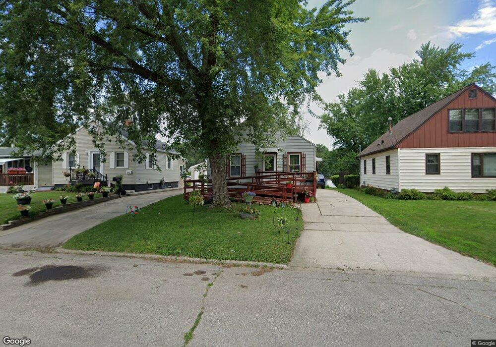
1631 Locke Ave Waterloo, IA 50702
Liberty Park NeighborhoodEstimated Value: $77,000 - $97,342
2
Beds
1
Bath
724
Sq Ft
$118/Sq Ft
Est. Value
About This Home
This home is located at 1631 Locke Ave, Waterloo, IA 50702 and is currently estimated at $85,086, approximately $117 per square foot. 1631 Locke Ave is a home located in Black Hawk County with nearby schools including Kittrell Elementary School, Hoover Middle School, and West High School.
Ownership History
Date
Name
Owned For
Owner Type
Purchase Details
Closed on
Sep 30, 2025
Sold by
Ryson Rentals Llc
Bought by
Fischels Evie
Current Estimated Value
Purchase Details
Closed on
Sep 7, 2012
Sold by
Digmann Helen T
Bought by
Bulver Taylor and Bulver Heather
Home Financials for this Owner
Home Financials are based on the most recent Mortgage that was taken out on this home.
Original Mortgage
$65,000
Interest Rate
3.59%
Mortgage Type
New Conventional
Create a Home Valuation Report for This Property
The Home Valuation Report is an in-depth analysis detailing your home's value as well as a comparison with similar homes in the area
Home Values in the Area
Average Home Value in this Area
Purchase History
| Date | Buyer | Sale Price | Title Company |
|---|---|---|---|
| Fischels Evie | $75,000 | Abstract Title | |
| Bulver Taylor | -- | None Available |
Source: Public Records
Mortgage History
| Date | Status | Borrower | Loan Amount |
|---|---|---|---|
| Previous Owner | Bulver Taylor | $65,000 |
Source: Public Records
Tax History Compared to Growth
Tax History
| Year | Tax Paid | Tax Assessment Tax Assessment Total Assessment is a certain percentage of the fair market value that is determined by local assessors to be the total taxable value of land and additions on the property. | Land | Improvement |
|---|---|---|---|---|
| 2025 | $1,742 | $87,910 | $13,580 | $74,330 |
| 2024 | $1,742 | $80,260 | $13,580 | $66,680 |
| 2023 | $1,476 | $80,260 | $13,580 | $66,680 |
| 2022 | $1,438 | $67,220 | $13,580 | $53,640 |
| 2021 | $1,392 | $67,220 | $13,580 | $53,640 |
| 2020 | $1,370 | $61,480 | $10,670 | $50,810 |
| 2019 | $1,370 | $61,480 | $10,670 | $50,810 |
| 2018 | $1,370 | $61,480 | $10,670 | $50,810 |
| 2017 | $1,412 | $61,480 | $10,670 | $50,810 |
| 2016 | $1,394 | $61,480 | $10,670 | $50,810 |
| 2015 | $1,394 | $61,480 | $10,670 | $50,810 |
| 2014 | $1,356 | $58,670 | $10,670 | $48,000 |
Source: Public Records
Map
Nearby Homes
- 1714 Easton Ave
- 1445 Hammond Ave
- 1124 Oleson Rd
- 1015 Amherst Ave
- 1924 Locke Ave
- 1933 Plymouth Ave
- 1219 Hammond Ave
- 1832 Patton Ave
- 1161 Easton Ave
- 1152 Wisner Dr
- 3420 Crown Ct Unit 3420
- 3256 Hammond Ave
- 1658 Glenny Ave
- 1147 Bourland Ave
- 2547 W 9th St
- 1664 Hawthorne Ave
- 1107 E Mitchell Ave
- 1806 Hawthorne Ave
- 3024 W 9th St
- 1727 Forest Ave
- 1635 Locke Ave
- 1627 Locke Ave
- 1623 Locke Ave
- 1639 Locke Ave
- 1619 Locke Ave
- 1643 Locke Ave
- 1632 Easton Ave
- 1626 Easton Ave
- 1615 Locke Ave
- 1640 Easton Ave
- 1620 Easton Ave
- 1647 Locke Ave
- 1644 Easton Ave
- 1632 Locke Ave
- 1626 Locke Ave
- 1611 Locke Ave
- 1638 Locke Ave
- 1616 Easton Ave
- 1622 Locke Ave
- 1642 Locke Ave