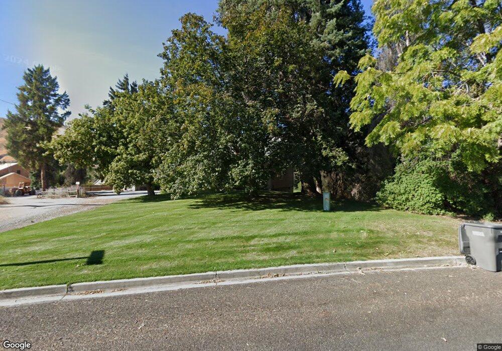
1631 Lower Monitor Rd Wenatchee, WA 98801
Estimated Value: $437,725 - $495,000
3
Beds
1
Bath
1,230
Sq Ft
$377/Sq Ft
Est. Value
About This Home
This home is located at 1631 Lower Monitor Rd, Wenatchee, WA 98801 and is currently estimated at $464,242, approximately $377 per square foot. 1631 Lower Monitor Rd is a home located in Chelan County with nearby schools including Sunnyslope Elementary School, Foothills Middle School, and Wenatchee High School.
Ownership History
Date
Name
Owned For
Owner Type
Purchase Details
Closed on
Sep 3, 2015
Sold by
Thomason Michael J and Thomason Amy K
Bought by
Phillips Erin K and Cantrell Christopher D
Current Estimated Value
Home Financials for this Owner
Home Financials are based on the most recent Mortgage that was taken out on this home.
Original Mortgage
$225,900
Outstanding Balance
$177,126
Interest Rate
3.86%
Mortgage Type
New Conventional
Estimated Equity
$287,116
Create a Home Valuation Report for This Property
The Home Valuation Report is an in-depth analysis detailing your home's value as well as a comparison with similar homes in the area
Home Values in the Area
Average Home Value in this Area
Purchase History
| Date | Buyer | Sale Price | Title Company |
|---|---|---|---|
| Phillips Erin K | $251,000 | First Amer Title Wenatchee |
Source: Public Records
Mortgage History
| Date | Status | Borrower | Loan Amount |
|---|---|---|---|
| Open | Phillips Erin K | $225,900 |
Source: Public Records
Tax History Compared to Growth
Tax History
| Year | Tax Paid | Tax Assessment Tax Assessment Total Assessment is a certain percentage of the fair market value that is determined by local assessors to be the total taxable value of land and additions on the property. | Land | Improvement |
|---|---|---|---|---|
| 2021 | $2,484 | $236,417 | $118,336 | $118,081 |
| 2020 | $1,897 | $201,443 | $98,512 | $102,931 |
| 2019 | $1,809 | $166,372 | $61,570 | $104,802 |
| 2018 | $2,240 | $164,286 | $54,805 | $109,481 |
| 2017 | $2,033 | $171,243 | $54,805 | $116,438 |
| 2016 | $1,517 | $166,727 | $50,470 | $116,257 |
| 2015 | $1,517 | $139,625 | $49,000 | $90,625 |
| 2013 | $1,517 | $116,315 | $42,500 | $73,815 |
Source: Public Records
Map
Nearby Homes
- 1901 Sleepy Hollow Rd
- 1400 Westpoint Place
- 37 Golden Hills Ln
- 3825 Sunridge Ln
- 1395 Mountain Vista
- 360 Diede Hills Ln
- 921 Easy St
- 990 Sage Crest Dr
- 4285 W Eaglerock Place
- 814 Easy St
- 1093 Rue Jolie Ln
- 3765 Iroquois Ln
- 826 Autumn Crest Dr
- 62 Salmon Dr
- 70 Salmon Dr
- 183 Emma Dr
- 838 Autumn Crest Dr
- 83 Sunny Meadows Loop
- 870 Autumn Crest Dr
- 394 Lure Ln
- 1625 Lower Monitor Rd
- 1625 Lower Monitor Rd
- 1625 Lower Monitor Rd
- 1640 Lower Monitor Rd
- 42 Lost Spoke Ln
- 125 Lost Spoke
- 1633 Lower Monitor Rd
- 87 Lost Spoke Ln
- 1785 Warm Springs Dr
- 46 Lost Spoke Ln
- 1629 Lower Monitor Rd
- 1795 Warm Springs Dr
- 1630 Lower Monitor Rd
- 1637 Lower Monitor Rd
- 1755 Warm Springs Dr
- 100 Lost Spoke Ln
- 1620 Lower Monitor Rd
- 122 Lost Spoke Ln
- 1621 Lower Monitor Rd
- 1617 Britini Dr