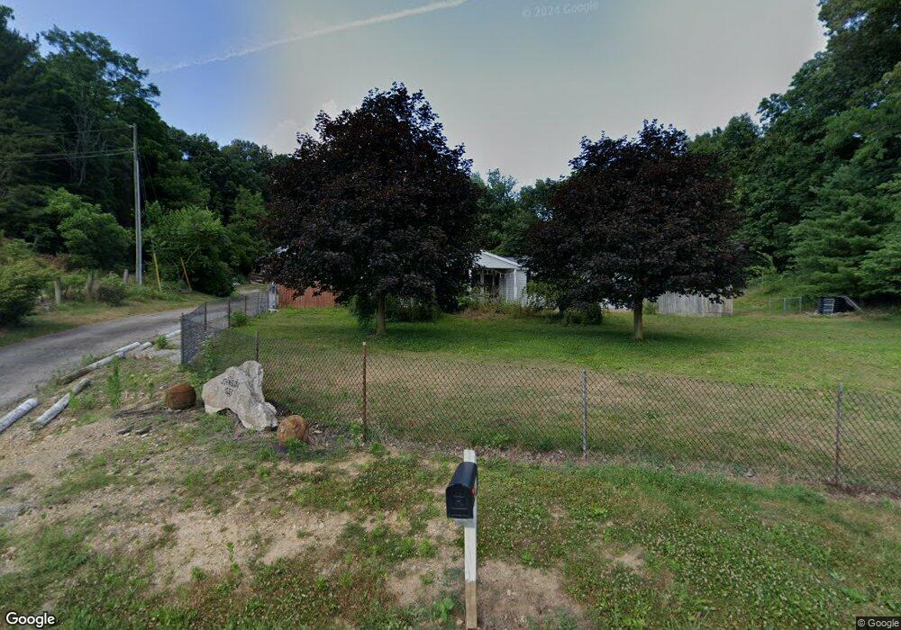
1631 Mingo Rd Chillicothe, OH 45601
Estimated Value: $121,037 - $340,000
--
Bed
1
Bath
1,602
Sq Ft
$136/Sq Ft
Est. Value
About This Home
This home is located at 1631 Mingo Rd, Chillicothe, OH 45601 and is currently estimated at $218,259, approximately $136 per square foot. 1631 Mingo Rd is a home located in Ross County with nearby schools including Paint Valley Elementary School, Paint Valley Middle School, and Paint Valley High School.
Ownership History
Date
Name
Owned For
Owner Type
Purchase Details
Closed on
Aug 31, 2022
Sold by
Johnson Neil B and Johnson Martha E
Bought by
Blevins Austen E and Blevins Adam C
Current Estimated Value
Purchase Details
Closed on
Jul 7, 2010
Sold by
Johnson Ernie L and Johnson Cynthia K
Bought by
Johnson Neil B
Purchase Details
Closed on
Apr 13, 2005
Sold by
Hines Elgin
Bought by
Johnson Ernie L and Johnson Cynthia K
Create a Home Valuation Report for This Property
The Home Valuation Report is an in-depth analysis detailing your home's value as well as a comparison with similar homes in the area
Home Values in the Area
Average Home Value in this Area
Purchase History
| Date | Buyer | Sale Price | Title Company |
|---|---|---|---|
| Blevins Austen E | -- | -- | |
| Blevins Austen E | -- | None Listed On Document | |
| Johnson Neil B | -- | Attorney | |
| Johnson Ernie L | -- | None Available |
Source: Public Records
Tax History Compared to Growth
Tax History
| Year | Tax Paid | Tax Assessment Tax Assessment Total Assessment is a certain percentage of the fair market value that is determined by local assessors to be the total taxable value of land and additions on the property. | Land | Improvement |
|---|---|---|---|---|
| 2024 | $924 | $25,720 | $6,350 | $19,370 |
| 2023 | $924 | $25,720 | $6,350 | $19,370 |
| 2022 | $906 | $25,720 | $6,350 | $19,370 |
| 2021 | $771 | $20,490 | $4,730 | $15,760 |
| 2020 | $770 | $20,490 | $4,730 | $15,760 |
| 2019 | $785 | $20,490 | $4,730 | $15,760 |
| 2018 | $671 | $17,040 | $4,310 | $12,730 |
| 2017 | $672 | $12,980 | $4,310 | $8,670 |
| 2016 | $499 | $12,980 | $4,310 | $8,670 |
| 2015 | $516 | $13,390 | $4,310 | $9,080 |
| 2014 | $504 | $13,390 | $4,310 | $9,080 |
| 2013 | $512 | $13,390 | $4,310 | $9,080 |
Source: Public Records
Map
Nearby Homes
- 2139 Poplar Ridge Rd
- 2371 Owl Creek Rd
- 5678 Lower Twin Rd
- 10830 Lower Twin Rd
- 10792 State Route 28
- 7535 State Route 28
- 11511 Taylor St
- 10605 State Route 28
- 11524 U S 50
- 10597 State Route 28
- 0 N Sd Rt 28
- 0 N Sd Rt 28 Unit 225026807
- 0 N Sd St Rt 28
- 14933 Us Highway 50
- 7885 Upper Twin Rd
- 4983 Black Run Rd
- 4878 Black Run Rd
- 235 Lagerham Ln
- 2719 Sulphur Lick Rd
- 2025 Little Creek Rd