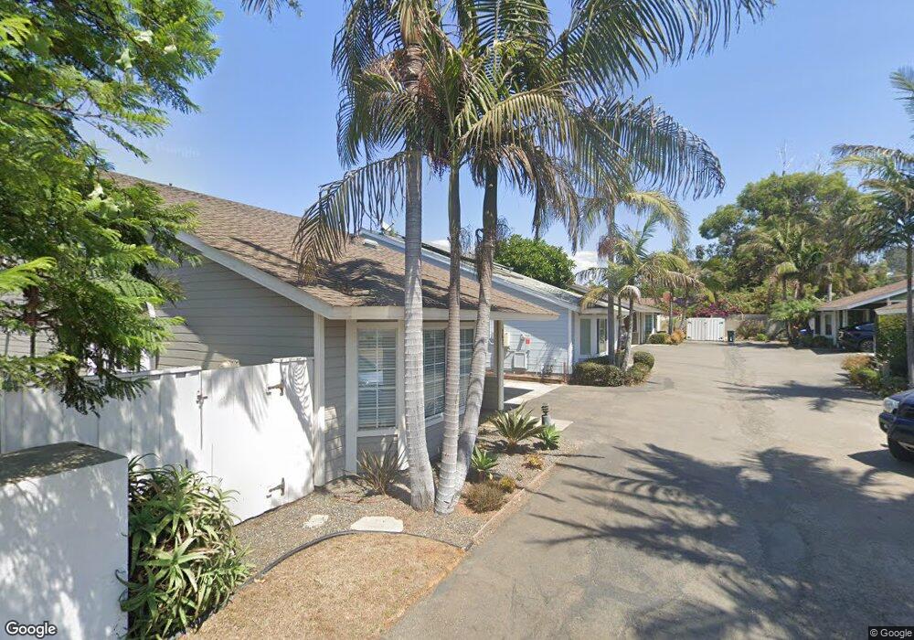
1631 N Vulcan Ave Unit 4 Encinitas, CA 92024
Leucadia NeighborhoodEstimated Value: $1,299,000 - $1,434,000
2
Beds
2
Baths
1,488
Sq Ft
$937/Sq Ft
Est. Value
About This Home
This home is located at 1631 N Vulcan Ave Unit 4, Encinitas, CA 92024 and is currently estimated at $1,394,972, approximately $937 per square foot. 1631 N Vulcan Ave Unit 4 is a home located in San Diego County with nearby schools including Capri Elementary School, Diegueno Middle School, and La Costa Canyon High School.
Ownership History
Date
Name
Owned For
Owner Type
Purchase Details
Closed on
May 18, 2012
Sold by
Hutson John C
Bought by
Ravenal James M
Current Estimated Value
Home Financials for this Owner
Home Financials are based on the most recent Mortgage that was taken out on this home.
Original Mortgage
$388,720
Outstanding Balance
$268,565
Interest Rate
3.84%
Mortgage Type
New Conventional
Estimated Equity
$1,126,407
Purchase Details
Closed on
Mar 22, 2004
Sold by
Hutson John
Bought by
Hutson John C
Home Financials for this Owner
Home Financials are based on the most recent Mortgage that was taken out on this home.
Original Mortgage
$382,000
Interest Rate
4.75%
Mortgage Type
Stand Alone Refi Refinance Of Original Loan
Purchase Details
Closed on
Apr 22, 2002
Sold by
Birney Joseph Michael
Bought by
Hutson John
Home Financials for this Owner
Home Financials are based on the most recent Mortgage that was taken out on this home.
Original Mortgage
$344,000
Interest Rate
6.5%
Purchase Details
Closed on
Jul 24, 1995
Sold by
Lonergan Douglas D and Lonergan Linda K
Bought by
Birney Joseph Michael
Home Financials for this Owner
Home Financials are based on the most recent Mortgage that was taken out on this home.
Original Mortgage
$172,500
Interest Rate
7.88%
Purchase Details
Closed on
Feb 17, 1994
Sold by
Birney Joseph Michael and Lonergan Douglas D
Bought by
Birney Joseph Michael and Lonergan Douglas D
Home Financials for this Owner
Home Financials are based on the most recent Mortgage that was taken out on this home.
Original Mortgage
$170,000
Interest Rate
4.87%
Purchase Details
Closed on
Jan 24, 1994
Sold by
Birney Joseph Michael and Lonergan Douglas D
Bought by
Birney Joseph Michael and Lonergan Douglas D
Home Financials for this Owner
Home Financials are based on the most recent Mortgage that was taken out on this home.
Original Mortgage
$170,000
Interest Rate
4.87%
Purchase Details
Closed on
Dec 15, 1989
Create a Home Valuation Report for This Property
The Home Valuation Report is an in-depth analysis detailing your home's value as well as a comparison with similar homes in the area
Home Values in the Area
Average Home Value in this Area
Purchase History
| Date | Buyer | Sale Price | Title Company |
|---|---|---|---|
| Ravenal James M | $486,000 | Ticor Title Company | |
| Hutson John C | -- | First American Title | |
| Hutson John | $430,000 | First American Title | |
| Birney Joseph Michael | -- | Stewart Title Company | |
| Birney Joseph Michael | -- | -- | |
| Birney Joseph Michael | -- | Stewart Title Co | |
| -- | $229,000 | -- |
Source: Public Records
Mortgage History
| Date | Status | Borrower | Loan Amount |
|---|---|---|---|
| Open | Ravenal James M | $388,720 | |
| Previous Owner | Hutson John C | $382,000 | |
| Previous Owner | Hutson John | $344,000 | |
| Previous Owner | Birney Joseph Michael | $172,500 | |
| Previous Owner | Birney Joseph Michael | $170,000 |
Source: Public Records
Tax History
| Year | Tax Paid | Tax Assessment Tax Assessment Total Assessment is a certain percentage of the fair market value that is determined by local assessors to be the total taxable value of land and additions on the property. | Land | Improvement |
|---|---|---|---|---|
| 2025 | $6,856 | $604,023 | $351,177 | $252,846 |
| 2024 | $6,856 | $592,181 | $344,292 | $247,889 |
| 2023 | $6,652 | $580,571 | $337,542 | $243,029 |
| 2022 | $6,487 | $569,188 | $330,924 | $238,264 |
| 2021 | $6,372 | $558,029 | $324,436 | $233,593 |
| 2020 | $6,263 | $552,308 | $321,110 | $231,198 |
| 2019 | $6,140 | $541,479 | $314,814 | $226,665 |
| 2018 | $6,025 | $530,863 | $308,642 | $222,221 |
| 2017 | $193 | $520,455 | $302,591 | $217,864 |
| 2016 | $5,668 | $510,251 | $296,658 | $213,593 |
| 2015 | $5,561 | $502,587 | $292,202 | $210,385 |
| 2014 | $5,444 | $492,743 | $286,479 | $206,264 |
Source: Public Records
Map
Nearby Homes
- 1549 N Vulcan Ave Unit 3
- 1549 N Vulcan Ave Unit 36
- 1624 N Coast Hwy 101 Unit 3
- 1624 N Coast Highway 101 Unit 2
- 1624 N Coast Highway 101 Unit 45
- 1624 N Coast Highway 101 Unit 6
- 1524 N Coast Highway 101
- 273 Hillcrest Dr
- 1680 N Coast Highway 101 Unit 30
- 1715 Kennington Rd
- 265 Sanford St
- 162 Jupiter St
- 419 Parkwood Ln
- 1735 Tattenham Rd
- 418 Parkwood Ln
- 1475 Eolus Ave
- 1460 Orpheus Ave
- 1875 Parliament Rd
- 251 E Glaucus St
- 2031 E Pearl St
- 1627 N Vulcan Ave Unit 6
- 1629 N Vulcan Ave
- 1625 N Vulcan Ave Unit 3
- 1623 N Vulcan Ave
- 1621 N Vulcan Ave
- 110 Hillcrest Dr
- 144 Hillcrest Dr
- 134 Hillcrest Dr
- 1655 Shorebreak Way
- 1659 Shorebreak Way
- 1656 Shorebreak Way
- 1660 Shorebreak Way
- 1663 Shorebreak Way
- 148 Hillcrest Dr
- 1664 Shorebreak Way
- 152 Hillcrest Dr Unit 54
- 1675 Shorebreak Way
- 1667 Shorebreak Way
- 1671 Shorebreak Way
- 1668 Shorebreak Way
Your Personal Tour Guide
Ask me questions while you tour the home.