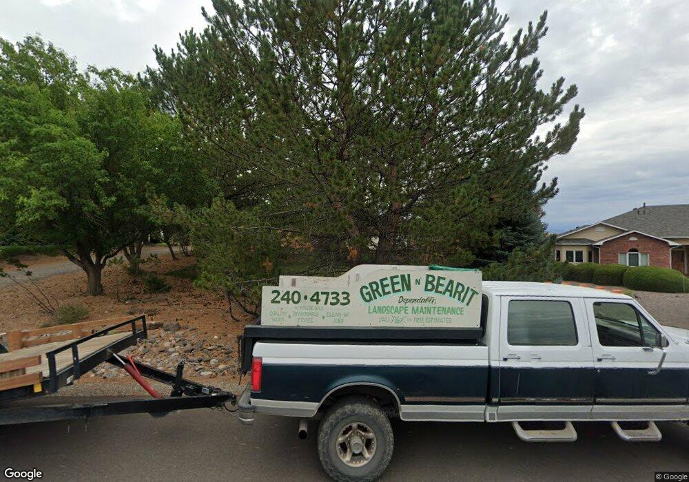
16318 6765 Rd Montrose, CO 81401
Estimated Value: $857,000 - $960,000
--
Bed
3
Baths
3,688
Sq Ft
$248/Sq Ft
Est. Value
About This Home
This home is located at 16318 6765 Rd, Montrose, CO 81401 and is currently estimated at $915,235, approximately $248 per square foot. 16318 6765 Rd is a home located in Montrose County with nearby schools including Cottonwood Elementary School, Centennial Middle School, and Montrose High School.
Ownership History
Date
Name
Owned For
Owner Type
Purchase Details
Closed on
May 4, 2022
Sold by
Holcomb Tom and Holcomb Elizabeth
Bought by
Holcomb Tom and Holcomb Elizabeth
Current Estimated Value
Purchase Details
Closed on
Jun 21, 2021
Sold by
Hoffski-Holcomb Elizabeth A and Holcomb Tom
Bought by
Hoffski-Holcomb Elizabeth A and Holcomb Tom
Purchase Details
Closed on
Jun 18, 2007
Sold by
Holcomb Tom and Hoffski Elizabeth A
Bought by
Holcomb Tom and Hoffski Holcomb Elizabeth A
Home Financials for this Owner
Home Financials are based on the most recent Mortgage that was taken out on this home.
Original Mortgage
$300,000
Interest Rate
6.25%
Mortgage Type
Adjustable Rate Mortgage/ARM
Purchase Details
Closed on
Feb 25, 1993
Sold by
Kienholz M David
Bought by
Holcomb Tom and Holcomb Elizabeth A
Purchase Details
Closed on
May 31, 1989
Sold by
Solar Hills Ranch Ltd
Bought by
Kienholz M David M and Kienholz Susan M
Create a Home Valuation Report for This Property
The Home Valuation Report is an in-depth analysis detailing your home's value as well as a comparison with similar homes in the area
Home Values in the Area
Average Home Value in this Area
Purchase History
| Date | Buyer | Sale Price | Title Company |
|---|---|---|---|
| Holcomb Tom | -- | None Listed On Document | |
| Hoffski-Holcomb Elizabeth A | -- | None Listed On Document | |
| Holcomb Tom | -- | Security Title | |
| Holcomb Tom | $42,500 | -- | |
| Kienholz M David M | $24,500 | -- |
Source: Public Records
Mortgage History
| Date | Status | Borrower | Loan Amount |
|---|---|---|---|
| Previous Owner | Holcomb Tom | $300,000 |
Source: Public Records
Tax History Compared to Growth
Tax History
| Year | Tax Paid | Tax Assessment Tax Assessment Total Assessment is a certain percentage of the fair market value that is determined by local assessors to be the total taxable value of land and additions on the property. | Land | Improvement |
|---|---|---|---|---|
| 2024 | $3,770 | $59,010 | $10,280 | $48,730 |
| 2023 | $3,770 | $71,000 | $11,330 | $59,670 |
| 2022 | $2,783 | $46,830 | $6,600 | $40,230 |
| 2021 | $2,866 | $48,170 | $6,790 | $41,380 |
| 2020 | $2,405 | $42,530 | $6,340 | $36,190 |
| 2019 | $2,421 | $42,530 | $6,340 | $36,190 |
| 2018 | $2,262 | $39,410 | $5,320 | $34,090 |
| 2017 | $2,243 | $39,410 | $5,320 | $34,090 |
| 2016 | $2,057 | $37,980 | $5,350 | $32,630 |
| 2015 | $2,556 | $37,980 | $5,350 | $32,630 |
| 2014 | $2,174 | $34,520 | $5,350 | $29,170 |
Source: Public Records
Map
Nearby Homes
- 16303 6760 Rd
- 16168 6794 Ct
- Lot 11 Galway Ct
- Lot 10 Galway Ct
- Lot 9 Galway Ct
- Lot 14 Killarney Ln
- Lot 8 Galway Ct
- Lot 17 Killarney Ln
- 2231 Hill St
- Lot 7 Galway Ct
- 3310 Donnegal Dr
- 3302 Donnegal Dr
- 3415 Chestnut Dr
- 3161 Silver Fox Dr
- 2941 Lost Creek Rd N
- 2308 Mead Ln
- TBD Ogden Rd
- 3004 Silver Fox Dr
- Lot C18 Chestnut Dr
- 3450 Honey Locust Dr
