Estimated Value: $277,000 - $325,000
3
Beds
2
Baths
1,476
Sq Ft
$202/Sq Ft
Est. Value
About This Home
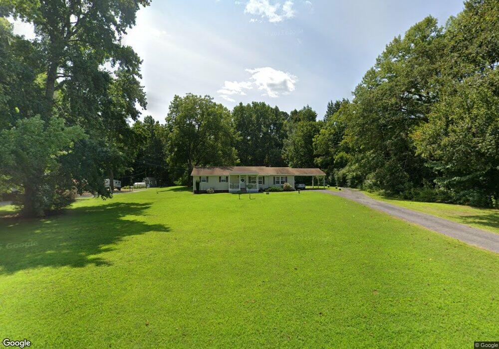
This home is located at 1632 Colonial Trail E, Surry, VA 23883 and is currently estimated at $298,324, approximately $202 per square foot. 1632 Colonial Trail E is a home located in Surry County with nearby schools including Surry Elementary School, Luther P. Jackson Middle School, and Surry County High School.
Ownership History
Date
Name
Owned For
Owner Type
Purchase Details
Closed on
Aug 29, 2005
Sold by
Property Procurement Llc
Bought by
Flood Robert E and Flood Sylvia G
Current Estimated Value
Home Financials for this Owner
Home Financials are based on the most recent Mortgage that was taken out on this home.
Original Mortgage
$154,856
Outstanding Balance
$85,024
Interest Rate
6.37%
Mortgage Type
New Conventional
Estimated Equity
$213,300
Create a Home Valuation Report for This Property
The Home Valuation Report is an in-depth analysis detailing your home's value as well as a comparison with similar homes in the area
Purchase History
| Date | Buyer | Sale Price | Title Company |
|---|---|---|---|
| Flood Robert E | -- | Carr Title |
Source: Public Records
Mortgage History
| Date | Status | Borrower | Loan Amount |
|---|---|---|---|
| Open | Flood Robert E | $154,856 |
Source: Public Records
Tax History
| Year | Tax Paid | Tax Assessment Tax Assessment Total Assessment is a certain percentage of the fair market value that is determined by local assessors to be the total taxable value of land and additions on the property. | Land | Improvement |
|---|---|---|---|---|
| 2025 | $2,009 | $282,900 | $46,800 | $236,100 |
| 2024 | $1,696 | $238,900 | $36,000 | $202,900 |
| 2023 | $1,696 | $238,900 | $36,000 | $202,900 |
| 2022 | $1,439 | $199,800 | $30,000 | $169,800 |
| 2021 | $1,247 | $162,000 | $30,000 | $132,000 |
| 2020 | $1,150 | $162,000 | $30,000 | $132,000 |
| 2019 | $1,150 | $162,000 | $30,000 | $132,000 |
| 2018 | $1,150 | $162,000 | $30,000 | $132,000 |
| 2017 | $1,150 | $162,000 | $30,000 | $132,000 |
| 2016 | $1,150 | $162,000 | $30,000 | $132,000 |
| 2015 | -- | $160,200 | $30,000 | $130,200 |
| 2014 | -- | $160,200 | $30,000 | $130,200 |
| 2013 | -- | $160,200 | $30,000 | $130,200 |
Source: Public Records
Map
Nearby Homes
- 1 Alliance Rd
- TBD Timberneck Dr
- 879 Alliance Rd
- 961 Alliance Rd
- LOT E Colonial Trail E
- 344 Colonial Trail E
- 146 Canaan View Ln
- 100 Canaan View Ln
- 184 Church St
- 11450 Rolfe Hwy
- 12155 Rolfe Hwy
- 13894 Rolfe Hwy
- 449 Colonial Trail W
- 1.18ac Edgar Ln
- 358 Edgar Ln
- 1110 Lebanon Rd
- LOT 4 Cecelia Ct
- 15427 Rolfe Hwy
- 4529 Alliance Rd
- 42-14 Chippokes Farm Rd
- 30 Brownsview Ln
- 8 Brownsview Ln
- 1AC Brownsview Ln
- 59 Brownsview Ln
- 1556 Colonial Trail E
- 1730 Colonial Trail E
- 3 Alliance Rd
- 141 Brownsview Ln
- 1512 Colonial Trail E
- 1491 Colonial Trail E
- 165 Brownsview Ln
- 2 Alliance Rd
- 81 Alliance Rd
- 1812 Colonial Trail E
- 205 Brownsview Ln
- 1832 Colonial Trail E
- 208 Brownsview Ln
- 1833 Colonial Trail E
- 247 Brownsview Ln
- 266 Brownsview Ln
Your Personal Tour Guide
Ask me questions while you tour the home.