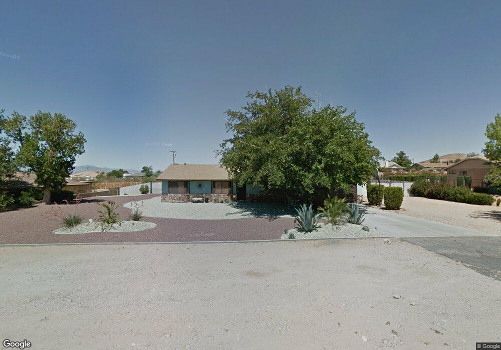
16320 Tao Rd Apple Valley, CA 92307
High Desert NeighborhoodEstimated Value: $401,177 - $515,000
3
Beds
2
Baths
1,658
Sq Ft
$278/Sq Ft
Est. Value
About This Home
This home is located at 16320 Tao Rd, Apple Valley, CA 92307 and is currently estimated at $460,544, approximately $277 per square foot. 16320 Tao Rd is a home located in San Bernardino County with nearby schools including Desert Knolls Elementary School, Granite Hills High School, and Academy for Academic Excellence.
Ownership History
Date
Name
Owned For
Owner Type
Purchase Details
Closed on
Oct 25, 2012
Sold by
Brown Pamela L
Bought by
Avila Torres Nolberto Avila and Avila Torres Maricela
Current Estimated Value
Home Financials for this Owner
Home Financials are based on the most recent Mortgage that was taken out on this home.
Original Mortgage
$95,000
Outstanding Balance
$65,553
Interest Rate
3.36%
Mortgage Type
New Conventional
Estimated Equity
$394,991
Purchase Details
Closed on
Mar 4, 2009
Sold by
Bank Of New York
Bought by
Brown Pamela L
Purchase Details
Closed on
Jul 2, 2008
Sold by
Deasley Stephen
Bought by
Bank Of New York and Cwabs 2004-Ecc2
Purchase Details
Closed on
Jul 26, 2004
Sold by
Deasley Lourdes
Bought by
Deasley Stephen L
Home Financials for this Owner
Home Financials are based on the most recent Mortgage that was taken out on this home.
Original Mortgage
$199,920
Interest Rate
6.29%
Mortgage Type
Purchase Money Mortgage
Purchase Details
Closed on
Jul 13, 2004
Sold by
Freeman William D and Freeman Evelyn R
Bought by
Deasley Stephen
Home Financials for this Owner
Home Financials are based on the most recent Mortgage that was taken out on this home.
Original Mortgage
$199,920
Interest Rate
6.29%
Mortgage Type
Purchase Money Mortgage
Purchase Details
Closed on
Sep 10, 2003
Sold by
Freeman William D and Freeman Evelyn R
Bought by
Freeman William D and Freeman Evelyn R
Home Financials for this Owner
Home Financials are based on the most recent Mortgage that was taken out on this home.
Original Mortgage
$153,000
Interest Rate
6.3%
Mortgage Type
Purchase Money Mortgage
Purchase Details
Closed on
Nov 1, 1993
Sold by
Jennings Robert G and Jennings Ramona P
Bought by
Freeman William D and Freeman Evelyn
Home Financials for this Owner
Home Financials are based on the most recent Mortgage that was taken out on this home.
Original Mortgage
$103,445
Interest Rate
7.2%
Mortgage Type
FHA
Create a Home Valuation Report for This Property
The Home Valuation Report is an in-depth analysis detailing your home's value as well as a comparison with similar homes in the area
Home Values in the Area
Average Home Value in this Area
Purchase History
| Date | Buyer | Sale Price | Title Company |
|---|---|---|---|
| Avila Torres Nolberto Avila | $142,500 | Priority Title | |
| Brown Pamela L | $136,000 | Landsafe Title | |
| Bank Of New York | $153,000 | Landsafe | |
| Deasley Stephen L | -- | Chicago Title Company | |
| Deasley Stephen | $250,000 | Chicago Title Company | |
| Freeman William D | -- | Fidelity National Title | |
| Freeman William D | $103,000 | Northern Counties Title |
Source: Public Records
Mortgage History
| Date | Status | Borrower | Loan Amount |
|---|---|---|---|
| Open | Avila Torres Nolberto Avila | $95,000 | |
| Previous Owner | Deasley Stephen | $199,920 | |
| Previous Owner | Freeman William D | $153,000 | |
| Previous Owner | Freeman William D | $103,445 | |
| Closed | Deasley Stephen | $49,980 |
Source: Public Records
Tax History Compared to Growth
Tax History
| Year | Tax Paid | Tax Assessment Tax Assessment Total Assessment is a certain percentage of the fair market value that is determined by local assessors to be the total taxable value of land and additions on the property. | Land | Improvement |
|---|---|---|---|---|
| 2025 | $2,062 | $175,479 | $35,094 | $140,385 |
| 2024 | $2,062 | $172,038 | $34,406 | $137,632 |
| 2023 | $2,042 | $168,664 | $33,731 | $134,933 |
| 2022 | $2,011 | $165,357 | $33,070 | $132,287 |
| 2021 | $1,965 | $162,115 | $32,422 | $129,693 |
| 2020 | $1,941 | $160,453 | $32,090 | $128,363 |
| 2019 | $1,906 | $157,307 | $31,461 | $125,846 |
| 2018 | $1,859 | $154,222 | $30,844 | $123,378 |
| 2017 | $1,833 | $151,198 | $30,239 | $120,959 |
| 2016 | $1,744 | $148,233 | $29,646 | $118,587 |
| 2015 | $1,718 | $146,007 | $29,201 | $116,806 |
| 2014 | $1,695 | $143,147 | $28,629 | $114,518 |
Source: Public Records
Map
Nearby Homes
- 18765 Munsee Rd
- 18830 Munsee Rd
- 18965 Siskiyou Rd
- 0 Tao Rd Unit CV23214930
- 18868 Tao Way
- 18668 Kamana Rd
- 16620 Iwa Rd
- 123 Menahka Rd Unit 638
- 16501 Menahka Rd
- 0 Menahka Ct
- 15908 Acoma Rd
- 16485 Wintun Rd
- 16270 Chippewa Rd
- 0 Allegheny Rd Unit SB19127526
- 19375 Corwin Rd
- 0 Kamana Rd
- 16635 Wintun Rd
- 16161 Saint Timothy Rd
- 0 Kamana Ct Unit HD25079746
- 16601 Kasota Rd