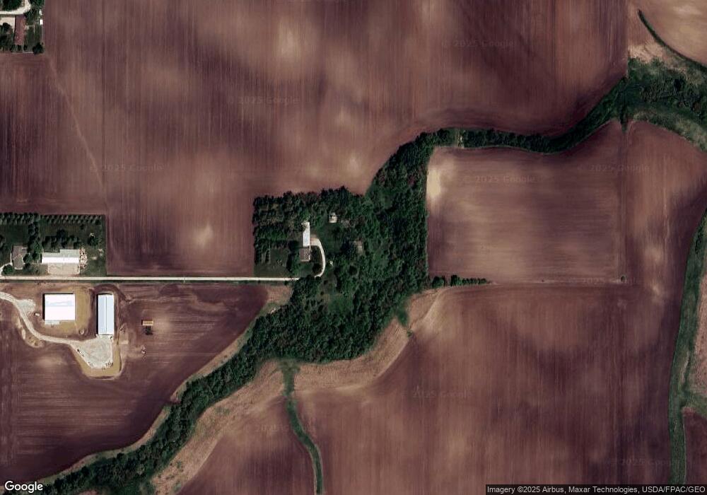
16328 Highway 71 Carroll, IA 51401
Estimated Value: $280,000 - $407,981
3
Beds
2
Baths
1,659
Sq Ft
$207/Sq Ft
Est. Value
About This Home
This home is located at 16328 Highway 71, Carroll, IA 51401 and is currently estimated at $343,991, approximately $207 per square foot. 16328 Highway 71 is a home with nearby schools including Fairview Elementary School, Adams Elementary School, and Carroll Middle School.
Create a Home Valuation Report for This Property
The Home Valuation Report is an in-depth analysis detailing your home's value as well as a comparison with similar homes in the area
Home Values in the Area
Average Home Value in this Area
Tax History Compared to Growth
Tax History
| Year | Tax Paid | Tax Assessment Tax Assessment Total Assessment is a certain percentage of the fair market value that is determined by local assessors to be the total taxable value of land and additions on the property. | Land | Improvement |
|---|---|---|---|---|
| 2025 | $2,302 | $389,360 | $124,240 | $265,120 |
| 2024 | $2,332 | $279,820 | $93,620 | $186,200 |
| 2023 | $2,662 | $281,470 | $93,620 | $187,850 |
| 2022 | $2,482 | $261,380 | $93,620 | $167,760 |
| 2021 | $2,482 | $261,380 | $93,620 | $167,760 |
| 2020 | $1,270 | $127,400 | $5,310 | $122,090 |
| 2019 | $1,288 | $127,400 | $5,310 | $122,090 |
| 2018 | $1,182 | $129,640 | $7,260 | $122,380 |
| 2017 | $1,174 | $121,020 | $7,260 | $113,760 |
| 2016 | $1,128 | $128,030 | $0 | $0 |
| 2015 | $1,128 | $129,460 | $0 | $0 |
| 2014 | $1,116 | $129,460 | $0 | $0 |
Source: Public Records
Map
Nearby Homes
- 0 160th St
- 2340 Skyline Dr
- 611 W 21st St
- 711 W 21st St
- 219 Windwood Dr
- 1852 Quint Ave
- 1810 Crestview Dr
- 265 Perch St
- 631 W 17th St
- 1608 Salinger Ave
- 1601 N Main St
- 746 Granada Rd
- 1509 Birch St
- 1515 N Main St
- 1546 Olive St
- 1320 N Adams St
- 1306 Simon Ave
- 1550 Edgewood Dr
- 638 Capistrano Ave
- 0 E 10th St Unit 5423085