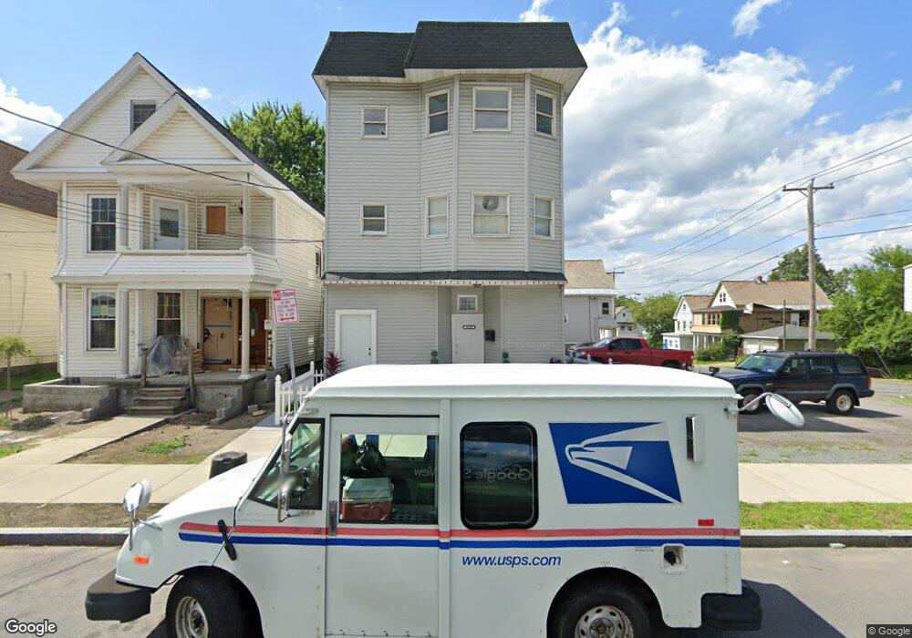
1633 Carrie St Unit 3 Schenectady, NY 12308
Estimated Value: $366,000 - $455,000
3
Beds
1
Bath
1,150
Sq Ft
$346/Sq Ft
Est. Value
About This Home
This home is located at 1633 Carrie St Unit 3, Schenectady, NY 12308 and is currently estimated at $397,485, approximately $345 per square foot. 1633 Carrie St Unit 3 is a home located in Schenectady County with nearby schools including Jessie T Zoller School, Oneida Middle School, and Schenectady High School.
Ownership History
Date
Name
Owned For
Owner Type
Purchase Details
Closed on
Jul 18, 2023
Sold by
Bacchus Azimoon
Bought by
Balrup Roopnauth
Current Estimated Value
Home Financials for this Owner
Home Financials are based on the most recent Mortgage that was taken out on this home.
Original Mortgage
$241,500
Outstanding Balance
$235,610
Interest Rate
6.67%
Mortgage Type
New Conventional
Estimated Equity
$161,875
Purchase Details
Closed on
Jul 1, 2021
Sold by
Ram Mansie
Bought by
Bacchus Wafeeza
Purchase Details
Closed on
Apr 12, 2007
Sold by
Tashjian Lee
Bought by
Bacchus Azimoar
Purchase Details
Closed on
Aug 14, 2002
Sold by
Brockley Thomas E
Bought by
Scheufler Richard D
Purchase Details
Closed on
May 16, 1996
Purchase Details
Closed on
May 15, 1995
Create a Home Valuation Report for This Property
The Home Valuation Report is an in-depth analysis detailing your home's value as well as a comparison with similar homes in the area
Home Values in the Area
Average Home Value in this Area
Purchase History
| Date | Buyer | Sale Price | Title Company |
|---|---|---|---|
| Balrup Roopnauth | $322,000 | None Listed On Document | |
| Balrup Roopnauth | -- | None Listed On Document | |
| Balrup Roopnauth | $322,000 | None Listed On Document | |
| Balrup Roopnauth | $322,000 | None Listed On Document | |
| Bacchus Wafeeza | -- | None Listed On Document | |
| Bacchus Azimoar | $97,900 | Stanley J Skubis | |
| Scheufler Richard D | $53,000 | -- | |
| -- | -- | -- | |
| -- | -- | -- |
Source: Public Records
Mortgage History
| Date | Status | Borrower | Loan Amount |
|---|---|---|---|
| Open | Balrup Roopnauth | $241,500 | |
| Closed | Balrup Roopnauth | $241,500 |
Source: Public Records
Tax History Compared to Growth
Tax History
| Year | Tax Paid | Tax Assessment Tax Assessment Total Assessment is a certain percentage of the fair market value that is determined by local assessors to be the total taxable value of land and additions on the property. | Land | Improvement |
|---|---|---|---|---|
| 2024 | $6,939 | $120,000 | $15,400 | $104,600 |
| 2023 | $6,939 | $102,700 | $15,400 | $87,300 |
| 2022 | $6,349 | $102,700 | $15,400 | $87,300 |
| 2021 | $6,293 | $102,700 | $15,400 | $87,300 |
| 2020 | $6,168 | $102,700 | $15,400 | $87,300 |
| 2019 | $4,040 | $102,700 | $15,400 | $87,300 |
| 2018 | $6,219 | $102,700 | $15,400 | $87,300 |
| 2017 | $5,133 | $102,700 | $15,400 | $87,300 |
| 2016 | $6,336 | $102,700 | $15,400 | $87,300 |
| 2015 | -- | $102,700 | $15,400 | $87,300 |
| 2014 | -- | $102,700 | $15,400 | $87,300 |
Source: Public Records
Map
Nearby Homes
- 1636 Foster Ave
- 1588 Foster Ave
- 1695 Foster Ave
- 1600 Carrie St
- 1594 Carrie St
- 629 Lang St
- 633 Lang St
- 1605 van Vranken Ave
- 1540 Foster Ave
- 626 Hattie St
- 1687 Avenue A
- 733 Mason St
- 431 Clarendon St
- 1857 Foster Ave
- L3 Maxon Rd
- 561 Clarendon St
- 1813 Avenue A
- 312 Harborside Dr
- L1 Lenox Rd
- 550 Gerling St
- 1633 Carrie St
- 1639 Carrie St
- 1629 Carrie St
- 536 Lang St
- 1651 Carrie St
- 1625 Carrie St
- 532 Lang St
- 528 Lang St
- 1655 Carrie St
- 1621 Carrie St
- 1642 Carrie St
- 1646 Carrie St
- 1646 Carrie St Unit 4
- 1646 Carrie St Unit 5
- 1646 Carrie St Unit 1
- 1646 Carrie St Unit 6
- 1646 Carrie St Unit 2
- 525 Lang St
- 1617-19 Carrie St
- 1659 Carrie St