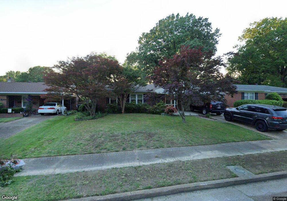
1633 Welsh Rd Memphis, TN 38117
Colonial Acres NeighborhoodEstimated Value: $172,000 - $215,000
3
Beds
1
Bath
1,164
Sq Ft
$167/Sq Ft
Est. Value
About This Home
This home is located at 1633 Welsh Rd, Memphis, TN 38117 and is currently estimated at $194,112, approximately $166 per square foot. 1633 Welsh Rd is a home located in Shelby County with nearby schools including Sea Isle Elementary School, Colonial Middle, and Overton High.
Ownership History
Date
Name
Owned For
Owner Type
Purchase Details
Closed on
Mar 20, 2023
Sold by
Russell Carole M and Russell Gregory A
Bought by
Mathis Raymond and Mathis Morgan
Current Estimated Value
Home Financials for this Owner
Home Financials are based on the most recent Mortgage that was taken out on this home.
Original Mortgage
$200,246
Outstanding Balance
$193,731
Interest Rate
6.32%
Mortgage Type
New Conventional
Estimated Equity
$381
Purchase Details
Closed on
Jul 29, 2016
Sold by
Becorest Junetta O
Bought by
Russell Carole M and Russell Gregory A
Home Financials for this Owner
Home Financials are based on the most recent Mortgage that was taken out on this home.
Original Mortgage
$60,800
Interest Rate
3.48%
Mortgage Type
New Conventional
Purchase Details
Closed on
Jan 22, 1999
Sold by
Russell Coleen O and Russell Junetta O
Bought by
Becorest Victor H and Becorest Junetta O
Create a Home Valuation Report for This Property
The Home Valuation Report is an in-depth analysis detailing your home's value as well as a comparison with similar homes in the area
Home Values in the Area
Average Home Value in this Area
Purchase History
| Date | Buyer | Sale Price | Title Company |
|---|---|---|---|
| Mathis Raymond | $213,000 | -- | |
| Russell Carole M | $76,000 | None Available | |
| Becorest Victor H | $48,750 | Chicago Title Insurance Co | |
| Becorest Victor H | $48,750 | Chicago Title Insurance Co |
Source: Public Records
Mortgage History
| Date | Status | Borrower | Loan Amount |
|---|---|---|---|
| Open | Mathis Raymond | $200,246 | |
| Previous Owner | Russell Carole M | $60,800 |
Source: Public Records
Tax History
| Year | Tax Paid | Tax Assessment Tax Assessment Total Assessment is a certain percentage of the fair market value that is determined by local assessors to be the total taxable value of land and additions on the property. | Land | Improvement |
|---|---|---|---|---|
| 2025 | $906 | $40,275 | $8,750 | $31,525 |
| 2024 | $906 | $26,725 | $5,225 | $21,500 |
| 2023 | $1,628 | $26,725 | $5,225 | $21,500 |
| 2022 | $1,628 | $26,725 | $5,225 | $21,500 |
| 2021 | $1,647 | $26,725 | $5,225 | $21,500 |
| 2020 | $1,377 | $19,000 | $5,225 | $13,775 |
| 2019 | $1,377 | $19,000 | $5,225 | $13,775 |
| 2018 | $1,377 | $19,000 | $5,225 | $13,775 |
| 2017 | $781 | $19,000 | $5,225 | $13,775 |
| 2016 | $872 | $19,950 | $0 | $0 |
| 2014 | $872 | $19,950 | $0 | $0 |
Source: Public Records
Map
Nearby Homes
- 1554 Hopewell Rd
- 4928 Willow Rd
- 1615 Delmont Rd
- 1534 Ivy Rd
- 1597 Marcia Rd
- 1494 Raymore Rd
- 1485 Ivy Rd
- 4903 Quince Rd
- 1570 Dearing Rd
- 4808 Quince Rd
- 4843 Verne Rd
- 1711 Myrna Ln
- 1673 S White Station Rd
- 4888 Verne Rd
- 1694 S White Station Rd
- 4931 Sea Isle Rd
- 1458 Mount Moriah Rd
- 1416 Marcia Rd
- 5034 Quince Rd
- 4584 E Dearing Rd
- 1639 Welsh Rd
- 1627 Welsh Rd
- 1645 Welsh Rd
- 1621 Welsh Rd
- 1638 Hopewell Rd
- 1632 Hopewell Rd
- 1644 Hopewell Rd
- 1626 Hopewell Rd
- 1651 Welsh Rd
- 1613 Welsh Rd
- 1634 Welsh Rd
- 1618 Welsh Rd
- 1626 Welsh Rd
- 1640 Welsh Rd
- 1650 Hopewell Rd
- 1618 Hopewell Rd
- 1620 Welsh Rd
- 1646 Welsh Rd
- 1656 Hopewell Rd
- 1657 Welsh Rd
Your Personal Tour Guide
Ask me questions while you tour the home.