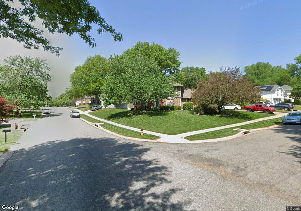
16332 S Monrovia St Olathe, KS 66062
South Overland Park NeighborhoodEstimated Value: $1,071,000 - $1,153,000
4
Beds
4
Baths
2,565
Sq Ft
$439/Sq Ft
Est. Value
About This Home
This home is located at 16332 S Monrovia St, Olathe, KS 66062 and is currently estimated at $1,125,079, approximately $438 per square foot. 16332 S Monrovia St is a home located in Johnson County with nearby schools including Timber Creek Elementary School, Aubry Bend Middle School, and Blue Valley Southwest High School.
Ownership History
Date
Name
Owned For
Owner Type
Purchase Details
Closed on
Oct 7, 2021
Sold by
Bates David B
Bought by
Bates David B and David B Bates Revocable Trust
Current Estimated Value
Purchase Details
Closed on
May 28, 2019
Sold by
Duff Paul J and Duff Karen R
Bought by
Bates David B
Home Financials for this Owner
Home Financials are based on the most recent Mortgage that was taken out on this home.
Original Mortgage
$680,000
Interest Rate
4.1%
Mortgage Type
New Conventional
Purchase Details
Closed on
Jul 31, 2017
Sold by
Levan Gary F and Levan Barbara R
Bought by
Duff Paul J and Duff Karen R
Purchase Details
Closed on
Aug 7, 2007
Sold by
Cecil & Ray Homes Inc
Bought by
Levan Gary F and Levan Barbara R
Purchase Details
Closed on
Aug 6, 2007
Sold by
Rappaho Polo Farms Llc
Bought by
Cecil & Ray Homes Inc
Create a Home Valuation Report for This Property
The Home Valuation Report is an in-depth analysis detailing your home's value as well as a comparison with similar homes in the area
Home Values in the Area
Average Home Value in this Area
Purchase History
| Date | Buyer | Sale Price | Title Company |
|---|---|---|---|
| Bates David B | -- | None Listed On Document | |
| Bates David B | -- | Security 1St Title Llc | |
| Duff Paul J | -- | Continental Title | |
| Levan Gary F | -- | First American Title Ins Co | |
| Cecil & Ray Homes Inc | -- | First American Title Ins |
Source: Public Records
Mortgage History
| Date | Status | Borrower | Loan Amount |
|---|---|---|---|
| Previous Owner | Bates David B | $680,000 |
Source: Public Records
Tax History Compared to Growth
Tax History
| Year | Tax Paid | Tax Assessment Tax Assessment Total Assessment is a certain percentage of the fair market value that is determined by local assessors to be the total taxable value of land and additions on the property. | Land | Improvement |
|---|---|---|---|---|
| 2024 | $14,229 | $137,103 | $27,132 | $109,971 |
| 2023 | $13,200 | $125,994 | $27,132 | $98,862 |
| 2022 | $11,630 | $109,055 | $27,132 | $81,923 |
| 2021 | $11,040 | $98,716 | $21,691 | $77,025 |
| 2020 | $10,918 | $96,934 | $20,567 | $76,367 |
| 2019 | $9,880 | $85,871 | $17,877 | $67,994 |
| 2018 | $9,273 | $79,005 | $17,877 | $61,128 |
| 2017 | $10,166 | $85,043 | $17,877 | $67,166 |
| 2016 | $10,070 | $84,169 | $17,877 | $66,292 |
| 2015 | $9,500 | $79,017 | $17,033 | $61,984 |
| 2013 | -- | $78,223 | $17,033 | $61,190 |
Source: Public Records
Map
Nearby Homes
- 12001 W 164th St
- 17108 Oakmont St
- 12013 W 163rd St
- 13812 Quigley St
- 11712 W 164th Place
- 11720 W 164th Place
- 16316 Rosehill St
- 16125 Earnshaw St
- The Delray Plan at Sundance Ridge - Big Sky
- The Manchester Plan at Sundance Ridge - Big Sky
- The Breckenridge Plan at Sundance Ridge - Big Sky
- The Santa Rosa Plan at Sundance Ridge - Big Sky
- The Laguna Plan at Sundance Ridge - Big Sky
- The Riviera II Plan at Sundance Ridge - Big Sky
- The H4L2 Plan at Sundance Ridge - Big Sky
- The Carmel Plan at Sundance Ridge - Big Sky
- The Riviera Plan at Sundance Ridge - Big Sky
- The Riverbrook Plan at Sundance Ridge - Big Sky
- The Carmell II Plan at Sundance Ridge - Big Sky
- The H4L Reserve Plan at Sundance Ridge - Big Sky
- 16332 Monrovia St
- 16336 S Monrovia St
- 16336 Monrovia St
- 12108 W 164th St
- 12112 W 164th St
- 16341 S Monrovia St
- 12116 W 164th St
- 16340 S Monrovia St
- 16329 S Monrovia St
- 16325 Monrovia St
- 16325 S Monrovia St
- 16321 Monrovia St
- 16321 S Monrovia St
- 16333 Monrovia St
- 16337 Monrovia St
- 16341 Monrovia St
- 16345 S Monrovia St
- 12109 W 164th St
- 12109 W 164th St
- 12105 W 164th St