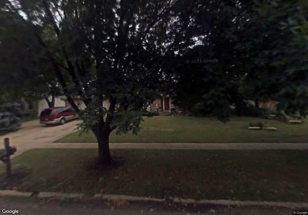
16337 Albert Dr Lockport, IL 60441
Estimated Value: $268,976 - $394,000
Studio
1
Bath
1,778
Sq Ft
$191/Sq Ft
Est. Value
About This Home
This home is located at 16337 Albert Dr, Lockport, IL 60441 and is currently estimated at $340,244, approximately $191 per square foot. 16337 Albert Dr is a home located in Will County with nearby schools including Richland Elementary School, Richland Jr High School, and Lockport Township High School East.
Ownership History
Date
Name
Owned For
Owner Type
Purchase Details
Closed on
Oct 30, 2009
Sold by
Kranz Michael H and Kranz Marilyn
Bought by
Kranz Mark
Current Estimated Value
Home Financials for this Owner
Home Financials are based on the most recent Mortgage that was taken out on this home.
Original Mortgage
$176,739
Outstanding Balance
$114,812
Interest Rate
4.9%
Mortgage Type
FHA
Estimated Equity
$225,432
Create a Home Valuation Report for This Property
The Home Valuation Report is an in-depth analysis detailing your home's value as well as a comparison with similar homes in the area
Home Values in the Area
Average Home Value in this Area
Purchase History
| Date | Buyer | Sale Price | Title Company |
|---|---|---|---|
| Kranz Mark | $180,000 | Multiple |
Source: Public Records
Mortgage History
| Date | Status | Borrower | Loan Amount |
|---|---|---|---|
| Open | Kranz Mark | $176,739 |
Source: Public Records
Tax History
| Year | Tax Paid | Tax Assessment Tax Assessment Total Assessment is a certain percentage of the fair market value that is determined by local assessors to be the total taxable value of land and additions on the property. | Land | Improvement |
|---|---|---|---|---|
| 2024 | $6,542 | $94,630 | $29,917 | $64,713 |
| 2023 | $6,542 | $84,954 | $26,858 | $58,096 |
| 2022 | $5,872 | $79,245 | $25,053 | $54,192 |
| 2021 | $5,559 | $74,472 | $23,544 | $50,928 |
| 2020 | $5,408 | $72,023 | $22,770 | $49,253 |
| 2019 | $5,113 | $68,268 | $21,583 | $46,685 |
| 2018 | $5,040 | $65,642 | $20,753 | $44,889 |
| 2017 | $4,761 | $61,967 | $19,591 | $42,376 |
| 2016 | $4,434 | $56,605 | $17,896 | $38,709 |
| 2015 | $4,165 | $52,803 | $16,694 | $36,109 |
| 2014 | $4,165 | $51,265 | $16,208 | $35,057 |
| 2013 | $4,165 | $60,312 | $19,068 | $41,244 |
Source: Public Records
Map
Nearby Homes
- 20753 Mary Dr
- 20524 Mcgilvray Dr
- 20711 W Renwick Rd
- 16637 Serene Lake Way
- 21201 Lily Lake Ln
- 21207 Prince Lake Ct
- 16139 Seneca Lake Cir
- 21249 Lily Lake Ln
- 21325 Windsor Lake Ln
- 21302 Prince Lake Dr Unit 2
- 782 S Baldwin Ln Unit 3
- 1471 W Grand Haven Rd Unit 3
- 729 S Mecosta Ln Unit 2
- 16300 Crescent Lake Dr
- 733 S Mecosta Ln Unit 2
- 17104 Weber Rd
- 682 Zachary Dr Unit 7C
- 16134 Powderhorn Lake Way Unit 7
- 16346 Crescent Lake Dr
- 696 S Wellston Ln
- 16345 Albert Dr
- 16327 Albert Dr
- 20660 Thomas Dr
- 16317 Albert Dr
- 20732 Thomas Dr
- 16328 Albert Dr
- 16348 John Ct
- 16336 John Ct
- 16305 Albert Dr
- 20705 Thomas Dr
- 20715 Thomas Dr
- 16316 Albert Dr
- 20661 Thomas Dr
- 20742 Thomas Dr
- 20725 Thomas Dr
- 16304 Albert Dr
- 20735 Thomas Dr
- 16329 Weber Rd
- 20745 Thomas Dr
- 16400 John Ct
Your Personal Tour Guide
Ask me questions while you tour the home.