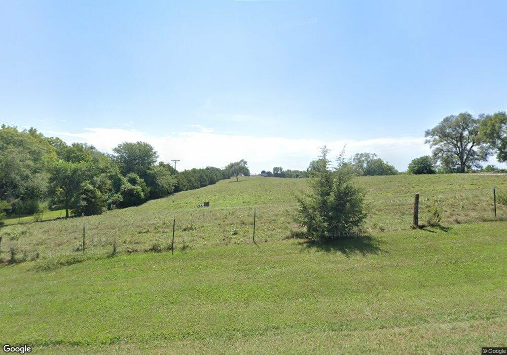
16341 Loring Rd Linwood, KS 66052
Estimated Value: $451,375 - $510,000
3
Beds
2
Baths
1,431
Sq Ft
$329/Sq Ft
Est. Value
About This Home
This home is located at 16341 Loring Rd, Linwood, KS 66052 and is currently estimated at $471,458, approximately $329 per square foot. 16341 Loring Rd is a home located in Leavenworth County with nearby schools including Linwood Elementary School, Basehor-Linwood Middle School, and Basehor-Linwood High School.
Ownership History
Date
Name
Owned For
Owner Type
Purchase Details
Closed on
Dec 30, 2020
Sold by
Purkeypile Dean A and Purkeypile Bonnie I
Bought by
Dean & Bonnie Purkeypile Revocable Trust and Revoc Bonnie
Current Estimated Value
Purchase Details
Closed on
Mar 1, 2001
Bought by
Purkeypile Dean A and Purkeypile Bonnie I
Home Financials for this Owner
Home Financials are based on the most recent Mortgage that was taken out on this home.
Original Mortgage
$113,900
Interest Rate
6.69%
Mortgage Type
New Conventional
Create a Home Valuation Report for This Property
The Home Valuation Report is an in-depth analysis detailing your home's value as well as a comparison with similar homes in the area
Home Values in the Area
Average Home Value in this Area
Purchase History
| Date | Buyer | Sale Price | Title Company |
|---|---|---|---|
| Dean & Bonnie Purkeypile Revocable Trust | -- | Bartling & Hinkle Pc | |
| Purkeypile Dean A | $162,000 | -- |
Source: Public Records
Mortgage History
| Date | Status | Borrower | Loan Amount |
|---|---|---|---|
| Previous Owner | Purkeypile Dean A | $113,900 |
Source: Public Records
Tax History Compared to Growth
Tax History
| Year | Tax Paid | Tax Assessment Tax Assessment Total Assessment is a certain percentage of the fair market value that is determined by local assessors to be the total taxable value of land and additions on the property. | Land | Improvement |
|---|---|---|---|---|
| 2025 | $4,184 | $38,380 | $11,921 | $26,459 |
| 2024 | $3,874 | $37,299 | $11,191 | $26,108 |
| 2023 | $3,874 | $36,210 | $10,604 | $25,606 |
| 2022 | $3,407 | $30,576 | $9,441 | $21,135 |
| 2021 | $2,983 | $26,811 | $7,808 | $19,003 |
| 2020 | $2,933 | $25,789 | $7,331 | $18,458 |
| 2019 | $2,826 | $24,701 | $6,740 | $17,961 |
| 2018 | $2,598 | $22,717 | $5,564 | $17,153 |
| 2017 | $2,631 | $22,965 | $5,552 | $17,413 |
| 2016 | $2,597 | $22,604 | $5,448 | $17,156 |
| 2015 | $2,513 | $21,947 | $4,962 | $16,985 |
| 2014 | $2,443 | $21,408 | $4,941 | $16,467 |
Source: Public Records
Map
Nearby Homes
- 13525 N 158th St
- 15514 Loring Rd
- 0 174th St
- 14425 158th St
- 0 Cantrell & 174th St
- 14587 166th St
- 17580 Cantrell Rd
- 8220 Wyandotte St
- 8572 Valley Spring Dr
- 31714 W 83rd Place
- 8355 Kill Creek Rd
- 32550 Lexington Ave
- Parcel 5A SE Stanley Rd
- Parcel 3A SE Stanley Rd
- Parcel 4A SE Stanley Rd
- 8375 Wyandotte St
- 30740 W 83rd St
- 30720 W 83rd St
- 8350 Waverly Rd
- 32845 W 84th St
- 16243 Loring Rd
- 16361 Loring Rd
- 16459 Loring Rd
- 13012 166th St
- 16524 Woods Rd
- 13068 166th St
- 16449 Woods Rd
- 13028 166th St
- 16519 Loring Rd
- 16425 Woods Rd
- 13088 166th St
- 12933 166th St
- 12989 166th St
- 12800 166th St
- 13025 166th St
- 12893 166th St
- 13159 166th St
- 13085 166th St
- 00000 Lot 3 Loring Rd
- 12801 166th St
