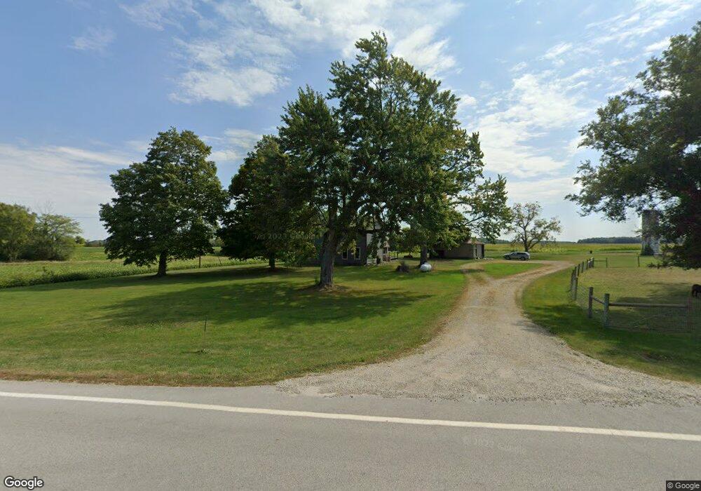
16351 State Highway 67 Upper Sandusky, OH 43351
Estimated Value: $322,000 - $398,000
5
Beds
2
Baths
2,264
Sq Ft
$153/Sq Ft
Est. Value
About This Home
This home is located at 16351 State Highway 67, Upper Sandusky, OH 43351 and is currently estimated at $347,096, approximately $153 per square foot. 16351 State Highway 67 is a home located in Wyandot County with nearby schools including Upper Sandusky High School.
Ownership History
Date
Name
Owned For
Owner Type
Purchase Details
Closed on
May 5, 2025
Sold by
Russell Justin and Russell Rachel
Bought by
Elson Brett
Current Estimated Value
Home Financials for this Owner
Home Financials are based on the most recent Mortgage that was taken out on this home.
Original Mortgage
$329,800
Outstanding Balance
$328,632
Interest Rate
6.65%
Mortgage Type
New Conventional
Estimated Equity
$18,464
Purchase Details
Closed on
Jun 27, 2022
Sold by
Moseley Paul H and Moseley Valerie
Bought by
Russell Justin and Russell Rachel
Home Financials for this Owner
Home Financials are based on the most recent Mortgage that was taken out on this home.
Original Mortgage
$82,708
Interest Rate
5.1%
Mortgage Type
New Conventional
Purchase Details
Closed on
Oct 28, 2016
Create a Home Valuation Report for This Property
The Home Valuation Report is an in-depth analysis detailing your home's value as well as a comparison with similar homes in the area
Home Values in the Area
Average Home Value in this Area
Purchase History
| Date | Buyer | Sale Price | Title Company |
|---|---|---|---|
| Elson Brett | $340,000 | United Alliance Title Agency L | |
| Russell Justin | -- | None Listed On Document | |
| -- | -- | -- |
Source: Public Records
Mortgage History
| Date | Status | Borrower | Loan Amount |
|---|---|---|---|
| Open | Elson Brett | $329,800 | |
| Previous Owner | Russell Justin | $82,708 | |
| Previous Owner | Russell Justin | $124,062 |
Source: Public Records
Tax History Compared to Growth
Tax History
| Year | Tax Paid | Tax Assessment Tax Assessment Total Assessment is a certain percentage of the fair market value that is determined by local assessors to be the total taxable value of land and additions on the property. | Land | Improvement |
|---|---|---|---|---|
| 2024 | $1,663 | $54,210 | $12,980 | $41,230 |
| 2023 | $1,663 | $54,210 | $12,980 | $41,230 |
| 2022 | $1,683 | $49,270 | $11,800 | $37,470 |
| 2021 | $1,574 | $49,270 | $11,800 | $37,470 |
| 2020 | $1,615 | $49,270 | $11,800 | $37,470 |
| 2019 | $1,568 | $49,270 | $11,800 | $37,470 |
| 2018 | $1,239 | $38,700 | $11,210 | $27,490 |
| 2017 | $1,244 | $40,420 | $11,210 | $29,210 |
| 2016 | $1,228 | $40,420 | $11,210 | $29,210 |
| 2015 | -- | $40,010 | $11,210 | $28,800 |
| 2014 | -- | $40,010 | $11,210 | $28,800 |
| 2013 | -- | $40,010 | $11,210 | $28,800 |
Source: Public Records
Map
Nearby Homes
- 14319 County Highway 64
- 18205 County Highway 96
- 14471 Township Highway 71
- 7900 State Highway 294
- 11650 Township Highway 103
- 7367 Wyandot St
- 381 & 383 W Johnson St
- US 30 Sr 23
- 203 203 1/2 E Crawford St
- 221&221 1/2 S 7th St
- 0 State Highway 53 Unit 6132082
- 379 Spring St
- 602 S 7th St
- 16877 State Route 67
- 15418 Ohio 37
- 454 N Sandusky Ave
- 326 S 8th St
- 225 S Hazel St
- 430 S Sandusky Ave
- 346 W Hicks St
- 16377 State Highway 67
- 16391 State Highway 67
- 16391 Ohio 67
- 16611 State Highway 67
- 12435 County Highway 64
- 12318 County Highway 64
- 12068 County Highway 64
- 12655 County Highway 64
- 17143 Township Highway 103
- 15955 State Highway 67
- 16764 State Highway 67
- 12846 County Highway 64
- 13036 County Highway 64
- 15678 County Highway 103
- 15916 State Highway 67
- 17408 Township Highway 103
- 15814 State Highway 67