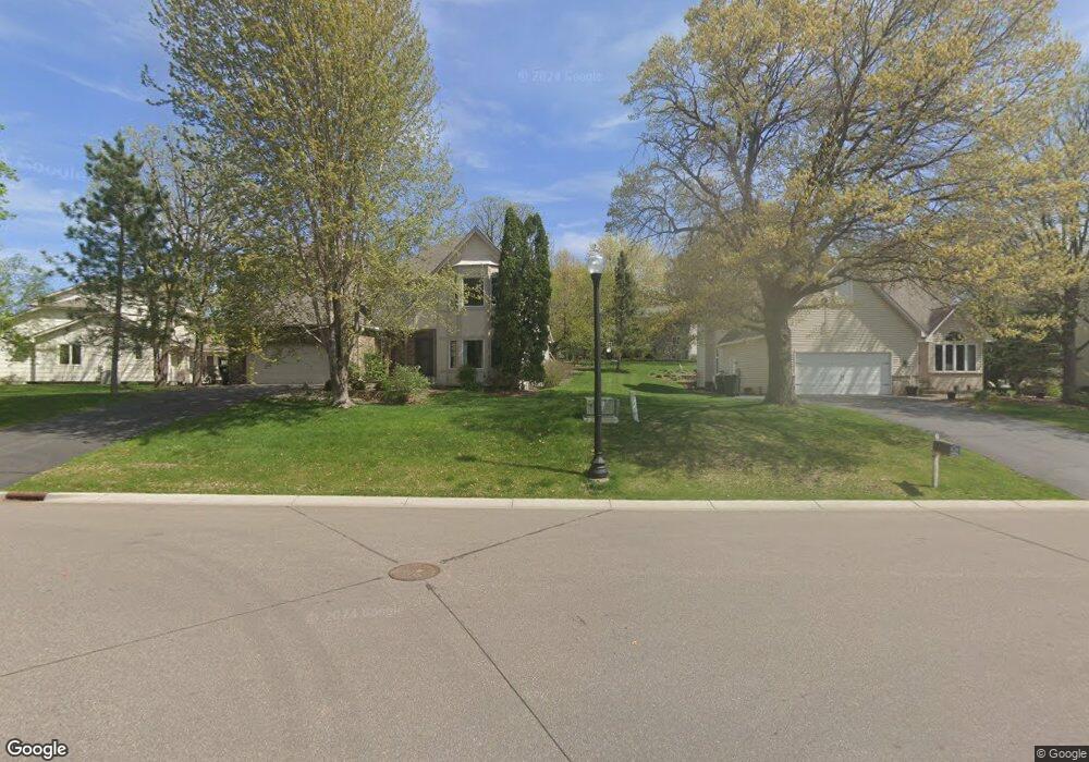
1636 128th Ln NW Coon Rapids, MN 55448
Estimated Value: $575,000 - $667,000
3
Beds
4
Baths
4,708
Sq Ft
$129/Sq Ft
Est. Value
About This Home
This home is located at 1636 128th Ln NW, Coon Rapids, MN 55448 and is currently estimated at $605,206, approximately $128 per square foot. 1636 128th Ln NW is a home located in Anoka County with nearby schools including Lucile Bruner Elementary School, Morris Bye Elementary School, and Laughlin Junior/Senior High School.
Ownership History
Date
Name
Owned For
Owner Type
Purchase Details
Closed on
Aug 17, 2020
Sold by
Sheppard Donald E and Sheppard Katherine A
Bought by
Scherer Dana Dean and Scherer Elizabeth Lauren
Current Estimated Value
Home Financials for this Owner
Home Financials are based on the most recent Mortgage that was taken out on this home.
Original Mortgage
$357,600
Outstanding Balance
$317,216
Interest Rate
3%
Mortgage Type
New Conventional
Estimated Equity
$287,990
Purchase Details
Closed on
May 18, 2006
Sold by
Pmj Group Inc
Bought by
Sheppard Donald E and Sheppard Katherine A
Home Financials for this Owner
Home Financials are based on the most recent Mortgage that was taken out on this home.
Original Mortgage
$353,700
Interest Rate
6.62%
Mortgage Type
New Conventional
Create a Home Valuation Report for This Property
The Home Valuation Report is an in-depth analysis detailing your home's value as well as a comparison with similar homes in the area
Home Values in the Area
Average Home Value in this Area
Purchase History
| Date | Buyer | Sale Price | Title Company |
|---|---|---|---|
| Scherer Dana Dean | $447,000 | Burnet Title | |
| Sheppard Donald E | $393,620 | -- |
Source: Public Records
Mortgage History
| Date | Status | Borrower | Loan Amount |
|---|---|---|---|
| Open | Scherer Dana Dean | $357,600 | |
| Previous Owner | Sheppard Donald E | $353,700 |
Source: Public Records
Tax History Compared to Growth
Tax History
| Year | Tax Paid | Tax Assessment Tax Assessment Total Assessment is a certain percentage of the fair market value that is determined by local assessors to be the total taxable value of land and additions on the property. | Land | Improvement |
|---|---|---|---|---|
| 2025 | $6,491 | $595,900 | $99,200 | $496,700 |
| 2024 | $6,491 | $582,500 | $96,000 | $486,500 |
| 2023 | $6,656 | $587,200 | $79,400 | $507,800 |
| 2022 | $5,810 | $579,100 | $79,400 | $499,700 |
| 2021 | $5,634 | $514,000 | $58,800 | $455,200 |
| 2020 | $5,779 | $488,500 | $58,800 | $429,700 |
| 2019 | $5,489 | $479,200 | $58,800 | $420,400 |
| 2018 | $5,347 | $440,800 | $0 | $0 |
| 2017 | $4,287 | $414,700 | $0 | $0 |
| 2016 | $4,306 | $325,000 | $0 | $0 |
| 2015 | -- | $325,000 | $52,500 | $272,500 |
| 2014 | -- | $274,100 | $37,200 | $236,900 |
Source: Public Records
Map
Nearby Homes
- 1520 129th Ave NW
- 12796 Bluebird St NW
- 1593 126th Ln NW
- 12554 Grouse St NW
- 1687 131st Ln NW
- 1930 127th Cir NW
- 1450 126th Ln NW
- 1776 133rd Ave NW
- 1234 128th Cir NW
- 1625 124th Ave NW
- 12365 Jay St NW
- 12463 Drake St NW
- 12760 Raven St NW
- 2147 125th Ln NW
- 2068 124th Ln NW
- 1727 121st Ln NW
- 12488 Unity St NW
- 13416 Swallow St NW
- 13519 Partridge Cir NW
- 12010 Eagle St NW
- 1625 128th Ln NW
- 1624 128th Ln NW
- 1612 128th Ln NW
- 1613 128th Ln NW
- 12779 Ibis St NW
- 12791 Ibis St NW
- 12767 Ibis St NW
- 1656 128th Ave NW
- 1640 128th Ave NW
- 1624 128th Ave NW
- 1607 128th Ln NW
- 1672 128th Ave NW
- 1600 128th Ln NW
- 1608 128th Ave NW
- 1601 128th Ln NW
- 12751 Ibis St NW
- 12770 Ibis St NW
- 12788 Ibis St NW
- 12778 Grouse St NW
- 1665 128th Ave NW