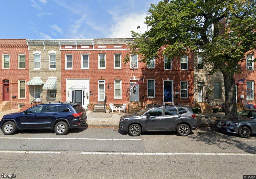
1636 E Fort Ave Baltimore, MD 21230
Locust Point NeighborhoodEstimated Value: $317,888 - $411,000
Studio
2
Baths
1,221
Sq Ft
$298/Sq Ft
Est. Value
About This Home
This home is located at 1636 E Fort Ave, Baltimore, MD 21230 and is currently estimated at $364,444, approximately $298 per square foot. 1636 E Fort Ave is a home located in Baltimore City with nearby schools including Francis Scott Key Elementary/Middle School, Booker T. Washington Middle School, and Digital Harbor High School.
Ownership History
Date
Name
Owned For
Owner Type
Purchase Details
Closed on
Dec 5, 2019
Sold by
Muth Jennifer
Bought by
Muth Jennifer Anne and Muth Jennifer Anne
Current Estimated Value
Purchase Details
Closed on
Jun 30, 2003
Sold by
Muth Jennifer
Bought by
Muth Jennifer
Purchase Details
Closed on
Feb 28, 2001
Sold by
Hirsch Bernard
Bought by
Muth Jennifer and Courtney Kim
Purchase Details
Closed on
Nov 9, 1999
Sold by
Hirsch Bernard E
Bought by
Hirsch Bernard
Purchase Details
Closed on
Oct 19, 1999
Sold by
Hirsch Bernard E
Bought by
Hirsch Bernard E
Create a Home Valuation Report for This Property
The Home Valuation Report is an in-depth analysis detailing your home's value as well as a comparison with similar homes in the area
Home Values in the Area
Average Home Value in this Area
Purchase History
| Date | Buyer | Sale Price | Title Company |
|---|---|---|---|
| Muth Jennifer Anne | -- | Accommodation | |
| Muth Jennifer | $72,500 | -- | |
| Muth Jennifer | $129,900 | -- | |
| Hirsch Bernard | -- | -- | |
| Hirsch Bernard E | -- | -- |
Source: Public Records
Tax History
| Year | Tax Paid | Tax Assessment Tax Assessment Total Assessment is a certain percentage of the fair market value that is determined by local assessors to be the total taxable value of land and additions on the property. | Land | Improvement |
|---|---|---|---|---|
| 2025 | $1,461 | $250,267 | -- | -- |
| 2024 | $1,461 | $237,333 | -- | -- |
| 2023 | $1,375 | $224,400 | $80,000 | $144,400 |
| 2022 | $3,710 | $221,800 | $0 | $0 |
| 2021 | $5,173 | $219,200 | $0 | $0 |
| 2020 | $927 | $216,600 | $80,000 | $136,600 |
| 2019 | $3,272 | $215,767 | $0 | $0 |
| 2018 | $3,200 | $214,933 | $0 | $0 |
| 2017 | $3,122 | $214,100 | $0 | $0 |
| 2016 | $2,714 | $210,333 | $0 | $0 |
| 2015 | $2,714 | $206,567 | $0 | $0 |
| 2014 | $2,714 | $202,800 | $0 | $0 |
Source: Public Records
Map
Nearby Homes
- 1446 Andre St
- 1352 Andre St
- 1500 Latrobe Park Terrace
- 1406 Cooksie St
- 1327 Richardson St
- 1358 Towson St
- 1405 Benjamin St
- 1200 Steuart St Unit 1515
- 1200 Steuart St Unit 713
- 1200 Steuart St Unit 1111
- 1200 Steuart St Unit 425
- 1200 Steuart St Unit 1711
- 1200 Steuart St Unit 312
- 1200 Steuart St Unit 1811
- 1200 Steuart St
- 1200 Steuart St Unit 1913
- 1313 Benjamin St
- 1425 E Clement St
- 1432 Haubert St
- 1600 Beason St
- 1638 E Fort Ave
- 1634 E Fort Ave
- 1640 E Fort Ave
- 1642 E Fort Ave
- 1630 E Fort Ave
- 1644 E Fort Ave
- 1628 E Fort Ave
- 1646 E Fort Ave
- 1626 E Fort Ave
- 1455 Richardson St
- 1648 E Fort Ave
- 1648 E Fort Ave Unit MAIN AND LOWER 1
- 1648 E Fort Ave Unit UPPER 1 AND UPPER 2
- 1462 Andre St
- 1453 Richardson St
- 1451 Richardson St
- 1460 Andre St
- 1449 Richardson St
- 1458 Andre St
- 1447 Richardson St
Your Personal Tour Guide
Ask me questions while you tour the home.