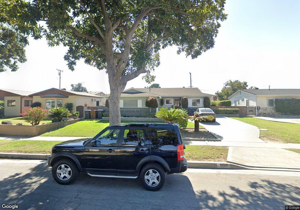
1636 W Maxzim Ave Fullerton, CA 92833
Estimated Value: $888,961 - $1,001,000
4
Beds
2
Baths
1,792
Sq Ft
$530/Sq Ft
Est. Value
About This Home
This home is located at 1636 W Maxzim Ave, Fullerton, CA 92833 and is currently estimated at $949,990, approximately $530 per square foot. 1636 W Maxzim Ave is a home located in Orange County with nearby schools including Orangethorpe Elementary School, Nicolas Junior High School, and Sunny Hills High School.
Ownership History
Date
Name
Owned For
Owner Type
Purchase Details
Closed on
Oct 14, 1994
Sold by
Oday Clifford and Oday Dorothy
Bought by
Gray Gordon C
Current Estimated Value
Home Financials for this Owner
Home Financials are based on the most recent Mortgage that was taken out on this home.
Original Mortgage
$165,300
Interest Rate
8.9%
Create a Home Valuation Report for This Property
The Home Valuation Report is an in-depth analysis detailing your home's value as well as a comparison with similar homes in the area
Home Values in the Area
Average Home Value in this Area
Purchase History
| Date | Buyer | Sale Price | Title Company |
|---|---|---|---|
| Gray Gordon C | $174,000 | American Title Insurance |
Source: Public Records
Mortgage History
| Date | Status | Borrower | Loan Amount |
|---|---|---|---|
| Previous Owner | Gray Gordon C | $165,300 |
Source: Public Records
Tax History Compared to Growth
Tax History
| Year | Tax Paid | Tax Assessment Tax Assessment Total Assessment is a certain percentage of the fair market value that is determined by local assessors to be the total taxable value of land and additions on the property. | Land | Improvement |
|---|---|---|---|---|
| 2025 | $3,459 | $300,413 | $198,713 | $101,700 |
| 2024 | $3,459 | $294,523 | $194,817 | $99,706 |
| 2023 | $3,373 | $288,749 | $190,998 | $97,751 |
| 2022 | $3,345 | $283,088 | $187,253 | $95,835 |
| 2021 | $3,286 | $277,538 | $183,582 | $93,956 |
| 2020 | $3,267 | $274,693 | $181,700 | $92,993 |
| 2019 | $3,185 | $269,307 | $178,137 | $91,170 |
| 2018 | $3,136 | $264,027 | $174,644 | $89,383 |
| 2017 | $3,083 | $258,850 | $171,219 | $87,631 |
| 2016 | $3,020 | $253,775 | $167,862 | $85,913 |
| 2015 | $2,936 | $249,964 | $165,341 | $84,623 |
| 2014 | $2,852 | $245,068 | $162,102 | $82,966 |
Source: Public Records
Map
Nearby Homes
- 1601 W Baker Ave
- 1919 W Coronet Ave Unit 126
- 1919 W Coronet Ave Unit 221
- 1919 W Coronet Ave Unit 122
- 1919 W Coronet Ave Unit 75
- 1919 W Coronet Ave Unit 132
- 1919 W Coronet Ave Unit 164
- 1919 W Coronet Ave Unit 208
- 1919 W Coronet Ave Unit 143
- 1919 W Coronet Ave Unit 203
- 1850 W Orangethorpe Ave Unit 44
- 1850 W Orangethorpe Ave Unit 24
- 1850 W Orangethorpe Ave
- 1850 W Orangethorpe Ave Unit 1
- 1850 W Orangethorpe Ave Unit 25
- 1425 W Woodcrest Ave
- 1935 W Houston Ave Unit 27
- 1384 N Schooner Ln Unit 85
- 1746 W Southgate Ave
- 1302 N Mako Ln Unit 2
- 1630 W Maxzim Ave
- 1642 W Maxzim Ave
- 1637 W Houston Ave
- 1643 W Houston Ave
- 1631 W Houston Ave
- 1624 W Maxzim Ave
- 1648 W Maxzim Ave
- 1649 W Houston Ave
- 1637 W Maxzim Ave
- 1625 W Houston Ave
- 1631 W Maxzim Ave
- 1643 W Maxzim Ave
- 1618 W Maxzim Ave
- 1625 W Maxzim Ave
- 1649 W Maxzim Ave
- 1619 W Houston Ave
- 1619 W Maxzim Ave
- 1612 W Maxzim Ave
- 1636 W Roberta Ave
- 1636 W Houston Ave