1637 Lightfoot Dr Auburn, PA 17922
Estimated Value: $319,000 - $586,000
5
Beds
3
Baths
2,191
Sq Ft
$194/Sq Ft
Est. Value
About This Home
This home is located at 1637 Lightfoot Dr, Auburn, PA 17922 and is currently estimated at $426,018, approximately $194 per square foot. 1637 Lightfoot Dr is a home located in Schuylkill County with nearby schools including Schuylkill Haven Elementary Center, Schuylkill Haven Middle School, and Schuylkill Haven Senior High School.
Ownership History
Date
Name
Owned For
Owner Type
Purchase Details
Closed on
May 31, 2010
Sold by
Williams William J and Williams Shannon M
Bought by
Querengasser Jared P and Querengasser Shona L
Current Estimated Value
Home Financials for this Owner
Home Financials are based on the most recent Mortgage that was taken out on this home.
Original Mortgage
$100,000
Outstanding Balance
$67,479
Interest Rate
5.11%
Mortgage Type
New Conventional
Estimated Equity
$358,539
Purchase Details
Closed on
Sep 29, 2006
Sold by
Heaps Robert and Heaps Sharon
Bought by
Williams William J and Williams Shannon M
Home Financials for this Owner
Home Financials are based on the most recent Mortgage that was taken out on this home.
Original Mortgage
$256,000
Interest Rate
6%
Mortgage Type
Assumption
Create a Home Valuation Report for This Property
The Home Valuation Report is an in-depth analysis detailing your home's value as well as a comparison with similar homes in the area
Home Values in the Area
Average Home Value in this Area
Purchase History
| Date | Buyer | Sale Price | Title Company |
|---|---|---|---|
| Querengasser Jared P | $220,000 | None Available | |
| Williams William J | $269,500 | None Available |
Source: Public Records
Mortgage History
| Date | Status | Borrower | Loan Amount |
|---|---|---|---|
| Open | Querengasser Jared P | $100,000 | |
| Previous Owner | Williams William J | $256,000 |
Source: Public Records
Tax History Compared to Growth
Tax History
| Year | Tax Paid | Tax Assessment Tax Assessment Total Assessment is a certain percentage of the fair market value that is determined by local assessors to be the total taxable value of land and additions on the property. | Land | Improvement |
|---|---|---|---|---|
| 2025 | $6,135 | $91,520 | $15,560 | $75,960 |
| 2024 | $5,617 | $91,520 | $15,560 | $75,960 |
| 2023 | $5,631 | $91,520 | $15,560 | $75,960 |
| 2022 | $5,444 | $91,520 | $15,560 | $75,960 |
| 2021 | $5,499 | $91,520 | $15,560 | $75,960 |
| 2020 | $5,499 | $91,520 | $15,560 | $75,960 |
| 2018 | $5,423 | $91,520 | $15,560 | $75,960 |
| 2017 | $5,200 | $91,520 | $15,560 | $75,960 |
| 2015 | -- | $91,520 | $15,560 | $75,960 |
| 2011 | -- | $91,520 | $0 | $0 |
Source: Public Records
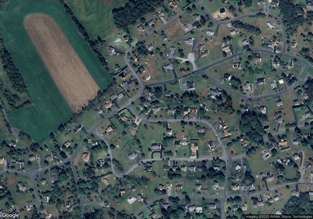
Map
Nearby Homes
- 1400 Lightfoot Dr
- 1371 Teepee Dr
- 1708 Sitting Bull Dr
- 1712 Sitting Bull Dr
- 1482 Bearcat Cove
- 1280 Doe Dr
- 1462 Wynonah Dr
- 1178 Custer Dr
- 906 Wynonah Dr
- 649 Wynonah Dr
- 1165 Custer Dr
- 0 Cherokee Dr
- 2505 Wagonwheel Dr
- 1096 Indian Dr
- 2464 Papoose Dr
- 383 Tomahawk Dr
- 981 Horseman Dr
- 988 Horseman Dr
- 2522 Papoose Dr
- 0 S Oak Ln
- 1639 Lightfoot Dr
- 1641 Buckaroo Dr
- 1635 Lightfoot Dr
- 1642 Buckaroo Dr
- 178 Running Deer Dr
- 1876 Running Deer Dr
- 1725 Running Deer Dr
- 2010 Running Deer Dr
- 1793 Running Deer Dr
- 1634 Lightfoot Dr
- 1405 Running Deer Dr
- 1644 Buckaroo Dr
- 1722 Running Deer Dr
- 1389 Teepee Dr
- 1633 Lightfoot Dr
- 1694 Buckaroo Dr
- 1720 Running Deer Dr
- 1687 Buckaroo Cove
- 1645 Buckaroo Dr
- 1386 Teepee Dr