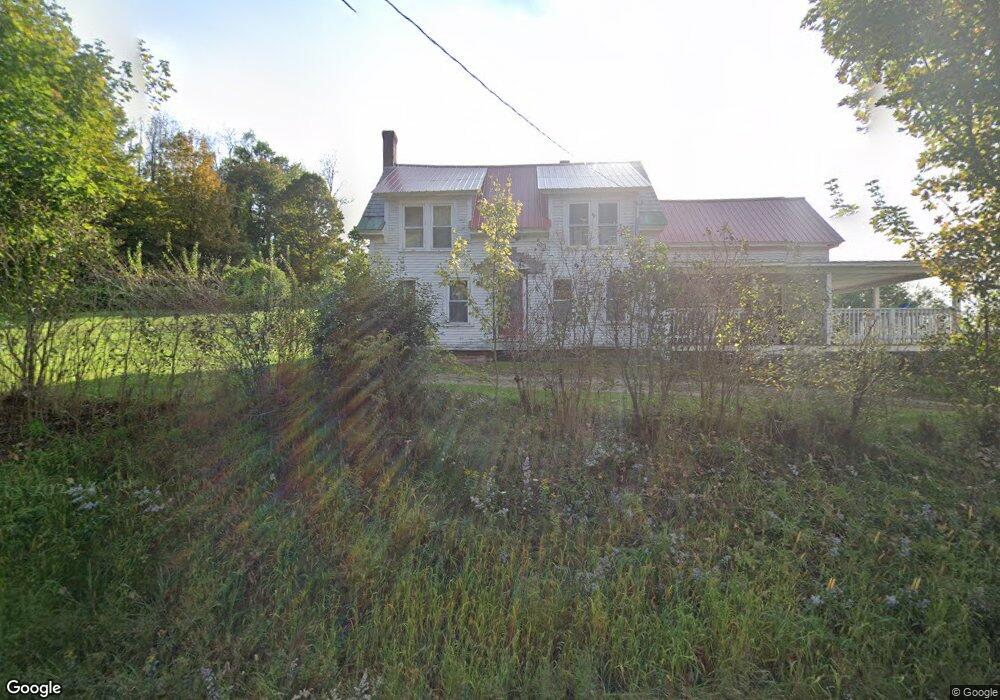
1637 Route 12 Westmoreland, NH 03467
Estimated Value: $172,000 - $394,000
4
Beds
2
Baths
1,600
Sq Ft
$193/Sq Ft
Est. Value
About This Home
This home is located at 1637 Route 12, Westmoreland, NH 03467 and is currently estimated at $308,562, approximately $192 per square foot. 1637 Route 12 is a home located in Cheshire County with nearby schools including Mayland Early College High School, Keene High School, and Pioneer Junior Academy.
Ownership History
Date
Name
Owned For
Owner Type
Purchase Details
Closed on
Sep 15, 2006
Sold by
Fnma
Bought by
Robbins Christopher
Current Estimated Value
Home Financials for this Owner
Home Financials are based on the most recent Mortgage that was taken out on this home.
Original Mortgage
$115,465
Outstanding Balance
$69,492
Interest Rate
6.71%
Mortgage Type
Purchase Money Mortgage
Estimated Equity
$239,070
Purchase Details
Closed on
Jun 18, 2004
Sold by
White Phillip E
Bought by
Curry Amanda E
Home Financials for this Owner
Home Financials are based on the most recent Mortgage that was taken out on this home.
Original Mortgage
$107,920
Interest Rate
6.12%
Mortgage Type
Purchase Money Mortgage
Create a Home Valuation Report for This Property
The Home Valuation Report is an in-depth analysis detailing your home's value as well as a comparison with similar homes in the area
Home Values in the Area
Average Home Value in this Area
Purchase History
| Date | Buyer | Sale Price | Title Company |
|---|---|---|---|
| Robbins Christopher | $57,500 | -- | |
| Curry Amanda E | $134,900 | -- |
Source: Public Records
Mortgage History
| Date | Status | Borrower | Loan Amount |
|---|---|---|---|
| Open | Curry Amanda E | $37,600 | |
| Open | Curry Amanda E | $115,465 | |
| Previous Owner | Curry Amanda E | $107,920 |
Source: Public Records
Tax History Compared to Growth
Tax History
| Year | Tax Paid | Tax Assessment Tax Assessment Total Assessment is a certain percentage of the fair market value that is determined by local assessors to be the total taxable value of land and additions on the property. | Land | Improvement |
|---|---|---|---|---|
| 2024 | $3,275 | $142,000 | $66,500 | $75,500 |
| 2023 | $3,023 | $142,000 | $66,500 | $75,500 |
| 2022 | $2,918 | $142,000 | $66,500 | $75,500 |
| 2021 | $2,897 | $142,000 | $66,500 | $75,500 |
| 2020 | $2,819 | $111,000 | $54,800 | $56,200 |
| 2019 | $2,980 | $111,000 | $54,800 | $56,200 |
| 2018 | $2,869 | $112,600 | $54,800 | $57,800 |
| 2017 | $2,815 | $112,600 | $54,800 | $57,800 |
| 2016 | $2,796 | $112,600 | $54,800 | $57,800 |
| 2015 | $2,680 | $122,900 | $59,900 | $63,000 |
| 2014 | $2,677 | $122,900 | $59,900 | $63,000 |
| 2012 | $2,597 | $122,900 | $59,900 | $63,000 |
Source: Public Records
Map
Nearby Homes
- 000 S Village Rd Unit 13
- 00 S Pine Banks Rd
- 14 Hurricane Rd
- 601 River Rd S
- 212 S Pine Banks Rd
- 40 E Putney Brook Rd
- 00 E Putney Brook Rd
- 0 Old Ledge Rd Unit 4950217
- 337 Old Keene Rd
- 300 Wentworth Rd
- 1909 Pine Banks Rd
- 0 Old Gilsum Rd Unit 5034729
- 0 Old Walpole Rd Unit 1
- Rt Highway 12
- Lot 27-1 Old Walpole Rd
- 13 Kimball Hill
- 119 Main St
- 0 Kurn Hattin Rd
- 159 Westminster Rd
- 153 Westminster Rd