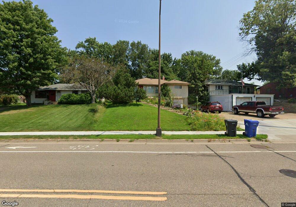
1637 Upper Afton Rd Saint Paul, MN 55106
Battle Creek NeighborhoodEstimated Value: $287,906 - $341,000
2
Beds
2
Baths
1,448
Sq Ft
$216/Sq Ft
Est. Value
About This Home
This home is located at 1637 Upper Afton Rd, Saint Paul, MN 55106 and is currently estimated at $313,477, approximately $216 per square foot. 1637 Upper Afton Rd is a home located in Ramsey County with nearby schools including Highwood Hills Elementary School, Battle Creek Middle School, and Harding Senior High School.
Ownership History
Date
Name
Owned For
Owner Type
Purchase Details
Closed on
Jul 11, 2017
Sold by
Lehmann Dale H and Lehmann Sandra
Bought by
Geisdorf Valerie
Current Estimated Value
Home Financials for this Owner
Home Financials are based on the most recent Mortgage that was taken out on this home.
Original Mortgage
$191,875
Interest Rate
3.96%
Mortgage Type
FHA
Create a Home Valuation Report for This Property
The Home Valuation Report is an in-depth analysis detailing your home's value as well as a comparison with similar homes in the area
Home Values in the Area
Average Home Value in this Area
Purchase History
| Date | Buyer | Sale Price | Title Company |
|---|---|---|---|
| Geisdorf Valerie | $204,515 | Partners Title Llc |
Source: Public Records
Mortgage History
| Date | Status | Borrower | Loan Amount |
|---|---|---|---|
| Previous Owner | Geisdorf Valerie | $191,875 |
Source: Public Records
Tax History
| Year | Tax Paid | Tax Assessment Tax Assessment Total Assessment is a certain percentage of the fair market value that is determined by local assessors to be the total taxable value of land and additions on the property. | Land | Improvement |
|---|---|---|---|---|
| 2025 | $4,956 | $286,300 | $34,800 | $251,500 |
| 2023 | $4,956 | $285,300 | $34,800 | $250,500 |
| 2022 | $3,376 | $258,700 | $34,800 | $223,900 |
| 2021 | $3,776 | $221,000 | $34,800 | $186,200 |
| 2020 | $3,640 | $227,100 | $34,800 | $192,300 |
| 2019 | $3,136 | $212,700 | $34,800 | $177,900 |
| 2018 | $2,290 | $187,900 | $34,800 | $153,100 |
| 2017 | $2,450 | $147,600 | $30,600 | $117,000 |
| 2016 | $2,206 | $0 | $0 | $0 |
| 2015 | $2,484 | $133,700 | $30,600 | $103,100 |
| 2014 | $2,184 | $0 | $0 | $0 |
Source: Public Records
Map
Nearby Homes
- 993 Kennard St N
- 1629 Suburban Ave
- 1596 Mclean Ave
- 1586 Pacific St
- TBD Kennard St
- 995 Kennard St
- 1603 Hudson Rd
- 182 Faye St
- 1529 Hudson Rd
- 309 Etna St
- 1578 Euclid St
- 442 White Bear Ave N
- 1456 Wilson Ave
- 1883 Garden Way
- 1333 Pacific St
- 187 Valleyside Dr
- 438 Etna St Unit 103
- 1483 3rd St E
- 500 Etna St Unit 203
- 138 Ruth St N Unit 9
- 1641 Upper Afton Rd
- 1631 Upper Afton Rd
- 1645 Upper Afton Rd
- 1649 1649 Upper Afton-Road-
- 1649 Upper Afton Rd
- 1658 Louise Ave
- 215 Kennard St
- 1653 Upper Afton Rd
- 1621 Upper Afton Rd Unit B
- 1621 Upper Afton Rd Unit A
- 1621 Upper Afton Rd Unit C
- 1621 Upper Afton Rd
- 215 Kennard St
- 221 Kennard St
- 1660 Louise Ave
- 1627 Upper Afton Rd Unit C
- 1627 Upper Afton Rd Unit B
- 1627 Upper Afton Rd Unit A
- 1627 Upper Afton Rd Unit D
- 1657 Upper Afton Rd
Your Personal Tour Guide
Ask me questions while you tour the home.