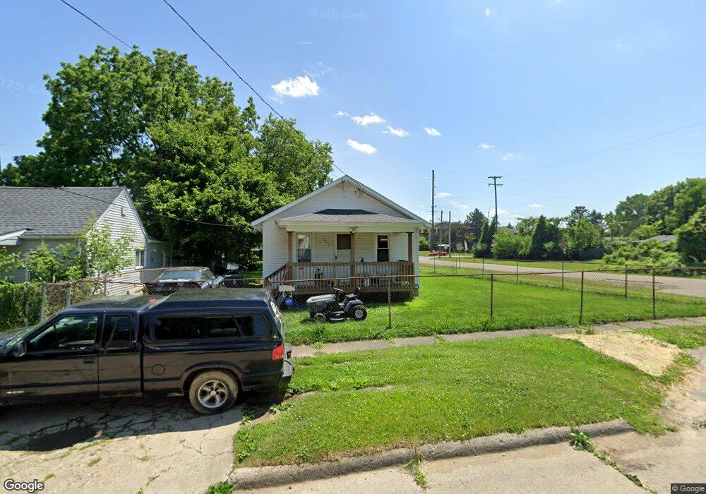
1637 Waldman Ave Flint, MI 48507
South Side NeighborhoodEstimated Value: $42,000 - $87,000
2
Beds
1
Bath
616
Sq Ft
$90/Sq Ft
Est. Value
About This Home
This home is located at 1637 Waldman Ave, Flint, MI 48507 and is currently estimated at $55,746, approximately $90 per square foot. 1637 Waldman Ave is a home located in Genesee County with nearby schools including Neithercut Elementary School, Flint Southwestern Classical Academy, and International Academy of Flint (K-12).
Ownership History
Date
Name
Owned For
Owner Type
Purchase Details
Closed on
Dec 7, 2018
Sold by
Stoddard Douglas G
Bought by
Holly Tree Investments Llc
Current Estimated Value
Purchase Details
Closed on
Feb 10, 2005
Sold by
Williams Renea D and Stocker Renea Benjamin
Bought by
Stoddard Douglas G
Create a Home Valuation Report for This Property
The Home Valuation Report is an in-depth analysis detailing your home's value as well as a comparison with similar homes in the area
Home Values in the Area
Average Home Value in this Area
Purchase History
| Date | Buyer | Sale Price | Title Company |
|---|---|---|---|
| Holly Tree Investments Llc | -- | None Available | |
| Stoddard Douglas G | $36,000 | First American Title |
Source: Public Records
Tax History
| Year | Tax Paid | Tax Assessment Tax Assessment Total Assessment is a certain percentage of the fair market value that is determined by local assessors to be the total taxable value of land and additions on the property. | Land | Improvement |
|---|---|---|---|---|
| 2025 | $892 | $14,300 | $0 | $0 |
| 2024 | $832 | $14,300 | $0 | $0 |
| 2023 | $818 | $12,200 | $0 | $0 |
| 2022 | $0 | $10,100 | $0 | $0 |
| 2021 | $826 | $9,100 | $0 | $0 |
| 2020 | $766 | $7,600 | $0 | $0 |
| 2019 | $794 | $8,100 | $0 | $0 |
| 2018 | $752 | $7,600 | $0 | $0 |
| 2017 | $788 | $0 | $0 | $0 |
| 2016 | $783 | $0 | $0 | $0 |
| 2015 | -- | $0 | $0 | $0 |
| 2014 | -- | $0 | $0 | $0 |
| 2012 | -- | $11,100 | $0 | $0 |
Source: Public Records
Map
Nearby Homes
- 1514 W Atherton Rd
- 1741 Carmanbrook Pkwy
- 1506 Pettibone Ave
- 1814 Carmanbrook Pkwy
- 1413 Lincoln Ave
- 1410 Berrywood Ln
- 1727 Briarwood Dr
- 4101 Greenbrook Ln
- 1836 Willowbrook Cir
- 1826 Greenbrook Ln
- 1130 W Atherton Rd
- 1310 Alvord Ave
- 1310 Huron St
- 1234 Huron St
- 1318 Ingleside Ave
- 1028 Campbell St
- 4502 Huckleberry Ln
- 1902 Rockcreek Ln
- 1627 Blackberry Ln
- 1210 Pinehurst Ave
- 1633 Waldman Ave
- 1632 W Atherton Rd
- 1625 Waldman Ave
- 1638 Waldman Ave
- 1634 Waldman Ave
- 3707 Briarwood Dr
- 3701 Briarwood Dr
- 1621 Waldman Ave
- 1630 Waldman Ave
- 3625 Briarwood Dr
- 1639 Pettibone Ave
- 1626 Waldman Ave
- 1617 Waldman Ave
- 1624 W Atherton Rd
- 3619 Briarwood Dr
- 1622 Waldman Ave
- 1631 Pettibone Ave
- 3613 Briarwood Dr
- 1620 W Atherton Rd
- 1627 Pettibone Ave
Your Personal Tour Guide
Ask me questions while you tour the home.