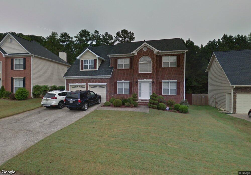
1638 Samantha Place SW Unit 2 Marietta, GA 30008
Southwestern Marietta NeighborhoodEstimated Value: $377,000 - $420,148
4
Beds
3
Baths
2,531
Sq Ft
$158/Sq Ft
Est. Value
About This Home
This home is located at 1638 Samantha Place SW Unit 2, Marietta, GA 30008 and is currently estimated at $399,037, approximately $157 per square foot. 1638 Samantha Place SW Unit 2 is a home located in Cobb County with nearby schools including Dowell Elementary School, Smitha Middle School, and Osborne High School.
Ownership History
Date
Name
Owned For
Owner Type
Purchase Details
Closed on
Oct 20, 1999
Sold by
Bell David L and Bell Elizabeth
Bought by
Seth Keo
Current Estimated Value
Home Financials for this Owner
Home Financials are based on the most recent Mortgage that was taken out on this home.
Original Mortgage
$26,000
Interest Rate
7.91%
Mortgage Type
New Conventional
Purchase Details
Closed on
Jan 28, 1997
Sold by
W Mark Ellis Co
Bought by
Bell David
Create a Home Valuation Report for This Property
The Home Valuation Report is an in-depth analysis detailing your home's value as well as a comparison with similar homes in the area
Home Values in the Area
Average Home Value in this Area
Purchase History
| Date | Buyer | Sale Price | Title Company |
|---|---|---|---|
| Seth Keo | $156,500 | -- | |
| Bell David | $133,000 | -- |
Source: Public Records
Mortgage History
| Date | Status | Borrower | Loan Amount |
|---|---|---|---|
| Closed | Seth Keo | $26,000 | |
| Closed | Bell David | $0 |
Source: Public Records
Tax History Compared to Growth
Tax History
| Year | Tax Paid | Tax Assessment Tax Assessment Total Assessment is a certain percentage of the fair market value that is determined by local assessors to be the total taxable value of land and additions on the property. | Land | Improvement |
|---|---|---|---|---|
| 2025 | $1,029 | $173,868 | $32,000 | $141,868 |
| 2024 | $1,032 | $173,868 | $32,000 | $141,868 |
| 2023 | $691 | $128,700 | $16,000 | $112,700 |
| 2022 | $804 | $97,448 | $9,600 | $87,848 |
| 2021 | $804 | $97,448 | $9,600 | $87,848 |
| 2020 | $801 | $96,604 | $9,600 | $87,004 |
| 2019 | $801 | $96,604 | $9,600 | $87,004 |
| 2018 | $2,038 | $83,600 | $9,600 | $74,000 |
| 2017 | $1,966 | $83,600 | $9,600 | $74,000 |
| 2016 | $1,782 | $75,100 | $9,600 | $65,500 |
| 2015 | $1,539 | $62,392 | $12,300 | $50,092 |
| 2014 | $1,551 | $62,392 | $0 | $0 |
Source: Public Records
Map
Nearby Homes
- 1697 Dyeson Rd SW
- 2268 Grove Valley Way Unit 9
- 2001 MacLand Square Dr Unit 11
- 2002 MacLand Square Dr Unit 1
- 1467 Glynn Oaks Cir SW
- 2389 Jack Creek Rd SW
- 1946 MacLand Rd SW
- 1952 Freestone Way
- Monteluce Plan at Freestone Station
- Hillside Plan at Freestone Station
- Oakshire Plan at Freestone Station
- Hendricks Plan at Freestone Station
- Hedgerow Plan at Freestone Station
- Antioch Plan at Freestone Station
- 1960 McEachern Manor Dr SW
- 2050 Heritage Green Dr
- 1985 Freestone Way
- 1951 Bergerac Ct SW
- 1640 Samantha Place SW Unit 2
- 1636 Samantha Place SW
- 1636 Samantha Place SW Unit 2
- 1642 Samantha Place SW
- 2094 Samantha Cir SW Unit 2
- 1637 Samantha Place SW
- 0 Samantha Place Unit 7638303
- 0 Samantha Place Unit 7538695
- 0 Samantha Place Unit 7436573
- 0 Samantha Place
- 1635 Samantha Place SW Unit 2
- 2092 Samantha Cir SW
- 1644 Samantha Place SW
- 1641 Samantha Place SW
- 2123 Samantha Way SW
- 1643 Samantha Place SW
- 1633 Samantha Place SW
- 1646 Samantha Place SW
- 2122 Samantha Way SW Unit II
- 1767 Powder Springs Rd SW