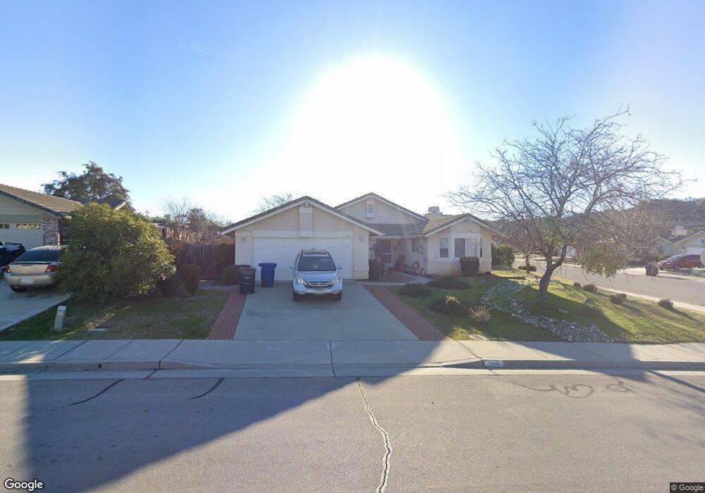
164 Bridgegate Ln Paso Robles, CA 93446
Estimated Value: $636,829 - $717,000
3
Beds
2
Baths
1,430
Sq Ft
$475/Sq Ft
Est. Value
About This Home
This home is located at 164 Bridgegate Ln, Paso Robles, CA 93446 and is currently estimated at $678,957, approximately $474 per square foot. 164 Bridgegate Ln is a home located in San Luis Obispo County with nearby schools including Pat Butler Elementary School, George H. Flamson Middle School, and Paso Robles High School.
Ownership History
Date
Name
Owned For
Owner Type
Purchase Details
Closed on
Nov 10, 2021
Sold by
Nay Dorothy J
Bought by
Mcconnell Shelley M and Dorothy J Nay Family Trust
Current Estimated Value
Purchase Details
Closed on
Oct 25, 2021
Sold by
Nay Brad
Bought by
Nay Dorothy J
Purchase Details
Closed on
Oct 31, 2018
Sold by
Nay Dorothy J and The Walter & Dorothy Nay Trust
Bought by
Nay Brad
Purchase Details
Closed on
Jul 20, 1998
Sold by
Nay Walter S and Nay Dorothy Jane
Bought by
Nay Walter S and Nay Dorothy J
Purchase Details
Closed on
Jul 18, 1994
Sold by
Bonita Land Company
Bought by
Nay Walter S and Nay Dorothy J
Create a Home Valuation Report for This Property
The Home Valuation Report is an in-depth analysis detailing your home's value as well as a comparison with similar homes in the area
Purchase History
| Date | Buyer | Sale Price | Title Company |
|---|---|---|---|
| Mcconnell Shelley M | -- | None Available | |
| Nay Dorothy J | -- | None Available | |
| Nay Brad | -- | None Available | |
| Nay Walter S | -- | -- | |
| Nay Walter S | -- | -- | |
| Nay Walter S | $143,000 | Cuesta Title |
Source: Public Records
Tax History
| Year | Tax Paid | Tax Assessment Tax Assessment Total Assessment is a certain percentage of the fair market value that is determined by local assessors to be the total taxable value of land and additions on the property. | Land | Improvement |
|---|---|---|---|---|
| 2025 | $2,761 | $248,294 | $92,362 | $155,932 |
| 2024 | $2,712 | $243,426 | $90,551 | $152,875 |
| 2023 | $2,712 | $238,654 | $88,776 | $149,878 |
| 2022 | $2,662 | $233,976 | $87,036 | $146,940 |
| 2021 | $2,831 | $229,389 | $85,330 | $144,059 |
| 2020 | $2,659 | $227,038 | $84,456 | $142,582 |
| 2019 | $2,620 | $222,587 | $82,800 | $139,787 |
| 2018 | $2,506 | $218,224 | $81,177 | $137,047 |
| 2017 | $2,358 | $213,946 | $79,586 | $134,360 |
| 2016 | $2,309 | $209,752 | $78,026 | $131,726 |
| 2015 | $2,299 | $206,602 | $76,854 | $129,748 |
| 2014 | $2,221 | $202,556 | $75,349 | $127,207 |
Source: Public Records
Map
Nearby Homes
- 166 Bridgegate Ln
- 161 Sandcove Ln
- 163 Sandcove Ln
- 137 Shadow Creek Ln
- 139 Shadow Creek Ln
- 168 Bridgegate Ln
- 165 Sandcove Ln
- 135 Shadow Creek Ln
- 167 Bridgegate Ln
- 169 Bridgegate Ln
- 167 Sandcove Ln
- 145 Shadow Creek Ln
- 133 Shadow Creek Ln
- 169 Sandcove Ln
- 171 Bridgegate Ln
- 138 Riverbank Ln
- 147 Shadow Creek Ln
- 131 Shadow Creek Ln
- 134 Riverbank Ln
- 152 Shadow Creek Ln
Your Personal Tour Guide
Ask me questions while you tour the home.