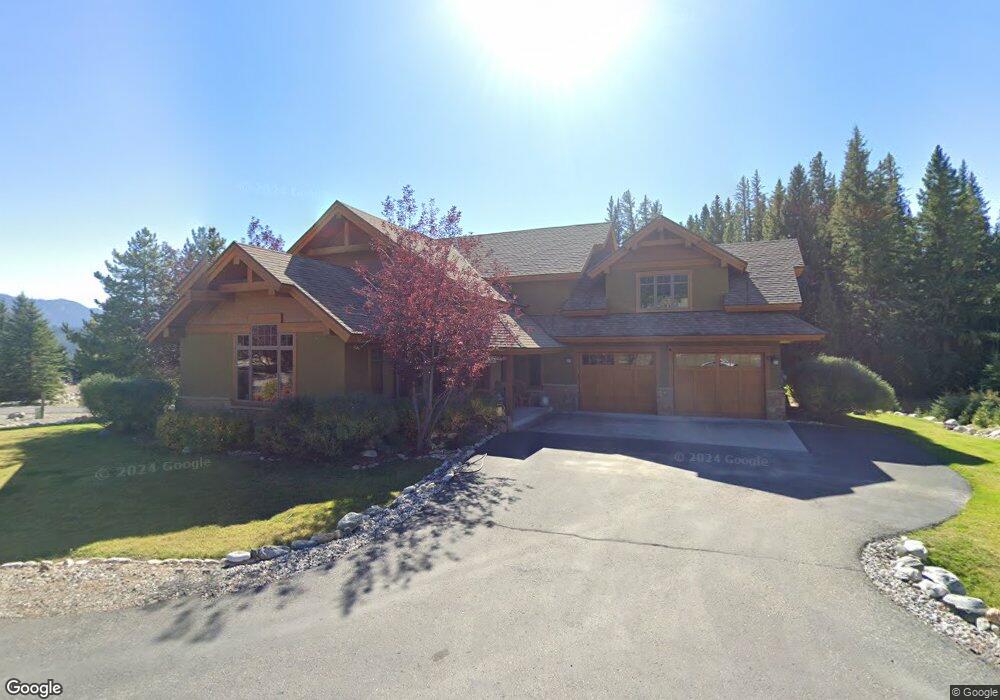
164 Brownstone Loop Big Sky, MT 59716
Estimated Value: $1,999,000 - $2,905,000
3
Beds
4
Baths
3,707
Sq Ft
$671/Sq Ft
Est. Value
About This Home
This home is located at 164 Brownstone Loop, Big Sky, MT 59716 and is currently estimated at $2,487,332, approximately $670 per square foot. 164 Brownstone Loop is a home located in Gallatin County with nearby schools including Ophir Elementary School, Ophir Junior High School, and Lone Peak High School.
Ownership History
Date
Name
Owned For
Owner Type
Purchase Details
Closed on
Jul 25, 2025
Sold by
Brown Randy R and Brown Merrilee L
Bought by
Mcneely Family Trust and Mcneely
Current Estimated Value
Home Financials for this Owner
Home Financials are based on the most recent Mortgage that was taken out on this home.
Original Mortgage
$1,175,000
Outstanding Balance
$1,171,983
Interest Rate
6.81%
Mortgage Type
New Conventional
Estimated Equity
$1,315,349
Create a Home Valuation Report for This Property
The Home Valuation Report is an in-depth analysis detailing your home's value as well as a comparison with similar homes in the area
Home Values in the Area
Average Home Value in this Area
Purchase History
| Date | Buyer | Sale Price | Title Company |
|---|---|---|---|
| Mcneely Family Trust | -- | Chicago Title |
Source: Public Records
Mortgage History
| Date | Status | Borrower | Loan Amount |
|---|---|---|---|
| Open | Mcneely Family Trust | $1,175,000 |
Source: Public Records
Map
Nearby Homes
- TBD Little Coyote Rd
- 15 Spotted Fawn
- 372 Chief Joseph Trail
- 2695 Curly Bear Rd
- 32 Rose Hip Unit N-3
- 27 Antler Drop Ct
- 2555 Little Coyote Rd
- 45 Turkey Leg Rd
- 45 Turkey Leg Rd Unit 1049
- 85 Spruce Cone Unit 10
- TBD Chief Joseph Trail
- 458 Big Pine Dr
- 80 Aspen Leaf Dr Unit 7
- 148 Crail Creek Ct Unit 631
- 313 Spruce Cone Dr
- 99 Town Center Avenue Unit R2 Ave
- 99 Town Center Ave
- 15 Salmon Fly Dr Unit 12
- Lot 16 Upper Whitefish Dr
- Lot 20 Upper Whitefish Dr
- 144 Brownstone Loop
- 164 Bronco Rd
- 112 Brownstone Loop
- 90 Brownstone Loop
- 90 Brownstone Loop
- 128 Moosewood Rd
- 76 Brownstone
- 2885 Red Feather Ln
- 61 Chief Joseph Trail
- TBD Red Feather Ln
- Big Sky Tennis Club Little Coyote Rd
- TBD Little Coyote Tract 2
- TBD Little Coyote Tract 2
- 28 Red Feather Ln
- LOT 4 Moosewood Rd
- LOT 3 Moosewood Rd
- Moosewood Moosewood Rd Unit A
- TBD Lot 3 Moosewood Rd
- 3225 Crow King Rd
- 125 Chief Joseph Trail