164 Crisco Rd Mc Rae, AR 72102
Estimated Value: $175,000 - $318,039
Studio
--
Bath
1,840
Sq Ft
$139/Sq Ft
Est. Value
About This Home
This home is located at 164 Crisco Rd, Mc Rae, AR 72102 and is currently estimated at $255,013, approximately $138 per square foot. 164 Crisco Rd is a home with nearby schools including Beebe Elementary School, Beebe Junior High School, and Beebe Middle School.
Ownership History
Date
Name
Owned For
Owner Type
Purchase Details
Closed on
Oct 12, 2021
Sold by
John C Ellis And Diana M Ellis Ab Living
Bought by
Ellis John C and Ellis Diana M
Current Estimated Value
Purchase Details
Closed on
Feb 4, 2006
Sold by
Ellis John C and Ellis Diana M
Bought by
John C Ellis And Diana M Ellis Ab Living
Purchase Details
Closed on
May 4, 2004
Bought by
Annex
Purchase Details
Closed on
May 1, 2000
Bought by
Ellis John C and Ellis Diana M
Purchase Details
Closed on
Oct 1, 1985
Bought by
Crisco Ernie Lee
Create a Home Valuation Report for This Property
The Home Valuation Report is an in-depth analysis detailing your home's value as well as a comparison with similar homes in the area
Purchase History
| Date | Buyer | Sale Price | Title Company |
|---|---|---|---|
| Ellis John C | -- | Wilson Dennis | |
| Ellis John C | -- | None Listed On Document | |
| John C Ellis And Diana M Ellis Ab Living | -- | None Available | |
| Annex | -- | -- | |
| Ellis John C | $178,000 | -- | |
| Crisco Ernie Lee | -- | -- |
Source: Public Records
Tax History
| Year | Tax Paid | Tax Assessment Tax Assessment Total Assessment is a certain percentage of the fair market value that is determined by local assessors to be the total taxable value of land and additions on the property. | Land | Improvement |
|---|---|---|---|---|
| 2025 | $587 | $27,230 | $8,140 | $19,090 |
| 2024 | $587 | $27,230 | $8,140 | $19,090 |
| 2023 | $587 | $27,230 | $8,140 | $19,090 |
| 2022 | $288 | $27,230 | $8,140 | $19,090 |
| 2021 | $288 | $27,230 | $8,140 | $19,090 |
| 2020 | $277 | $22,260 | $5,480 | $16,780 |
| 2019 | $277 | $22,260 | $5,480 | $16,780 |
| 2018 | $278 | $22,260 | $5,480 | $16,780 |
| 2017 | $577 | $22,260 | $5,480 | $16,780 |
| 2016 | $945 | $23,230 | $5,480 | $17,750 |
| 2015 | $1,032 | $25,360 | $8,170 | $17,190 |
| 2014 | $1,010 | $24,810 | $8,170 | $16,640 |
Source: Public Records
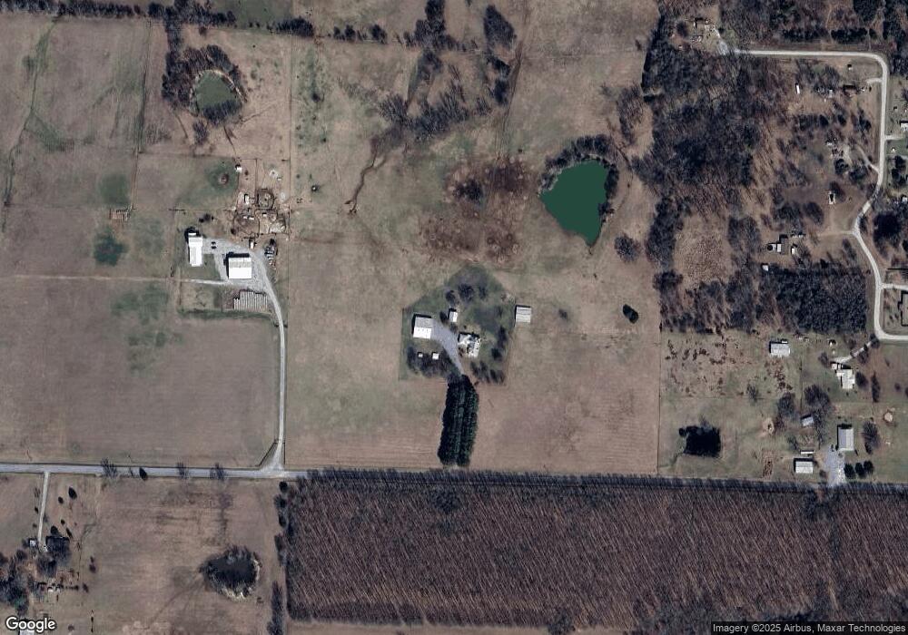
Map
Nearby Homes
- 125 Poindexter Ln
- 0 Webb Hill Rd
- 661 Blue Hole Rd
- 000 Shiloh Rd
- 315 Tweedy Rd
- 444 Blue Hole Rd
- 659 Wagon Train Rd
- 3655 Highway 267 S
- 136 Highway 267 Spur
- 712 Wagon Train Rd
- 414 N Wilks St
- 410 N Wilks St
- 00 Highway 13 S
- 307 Copperas Springs Rd
- 107 N Wilks St
- 2235 Highway 31 N
- 592 Shiloh Rd
- 108 Powder River Dr
- 123 Powder River Dr
- 111 Powder River Dr
- 191 Crisco Rd
- 105 Amber Ln
- 118 Crisco Rd
- 138 Amber Ln
- 123 Amber Ln
- 102 Amber Ln
- 129 Amber Ln
- 108 Amber Ln
- 292 Thurman Weir Rd
- 348 Thurman Weir Rd
- 271 Thurman Weir Rd
- 262 Thurman Weir Rd
- 3247 Highway 267 S
- 3235 Highway 267 S
- 3302 Highway 267 S
- 00 Thurman Weir
- 3263 Highway 267 S
- 367 Thurman Weir Rd
- 249 Crisco Rd
- 3255 Highway 267 S
Your Personal Tour Guide
Ask me questions while you tour the home.