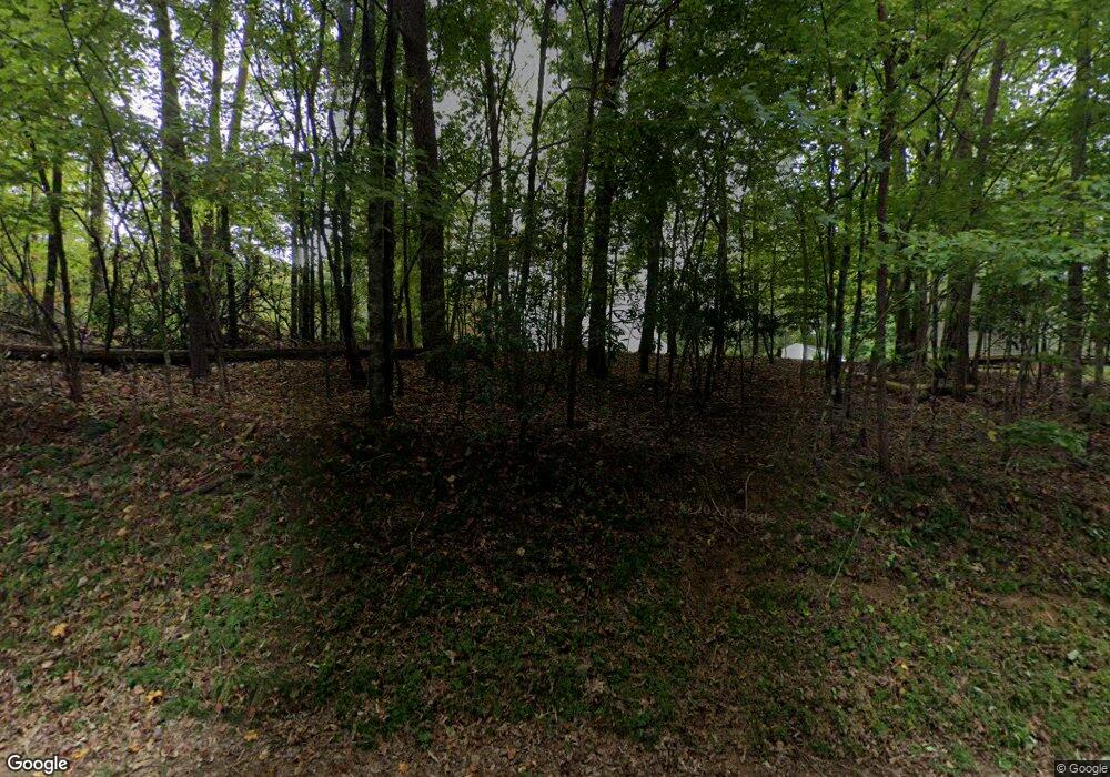
164 Grindle Bridge Rd Dahlonega, GA 30533
Estimated Value: $309,000 - $508,000
--
Bed
4
Baths
1,952
Sq Ft
$207/Sq Ft
Est. Value
About This Home
This home is located at 164 Grindle Bridge Rd, Dahlonega, GA 30533 and is currently estimated at $403,707, approximately $206 per square foot. 164 Grindle Bridge Rd is a home located in Lumpkin County with nearby schools including Clay County Middle School and Lumpkin County High School.
Ownership History
Date
Name
Owned For
Owner Type
Purchase Details
Closed on
Jul 2, 2024
Sold by
Springer Sherry L
Bought by
Sherry L Springer Irrevocable Trust and Springer Sherry L Trust
Current Estimated Value
Purchase Details
Closed on
Mar 1, 2024
Sold by
Springer Donald C
Bought by
Springer Sherry L
Purchase Details
Closed on
Mar 20, 2013
Sold by
Judson Ronald D
Bought by
Springer Donald C and Springer Sherry L
Purchase Details
Closed on
Mar 26, 2001
Sold by
Judson Ronald D
Bought by
Springer Donald C and Springer Sherry L
Purchase Details
Closed on
Feb 23, 1999
Sold by
Whelchel Joseph H
Bought by
Judson Ronald D
Purchase Details
Closed on
Feb 7, 1997
Bought by
Whelchel Joseph H
Create a Home Valuation Report for This Property
The Home Valuation Report is an in-depth analysis detailing your home's value as well as a comparison with similar homes in the area
Home Values in the Area
Average Home Value in this Area
Purchase History
| Date | Buyer | Sale Price | Title Company |
|---|---|---|---|
| Sherry L Springer Irrevocable Trust | $307,000 | -- | |
| Springer Sherry L | -- | -- | |
| Springer Donald C | -- | -- | |
| Springer Donald C | -- | -- | |
| Springer Donald C | $196,000 | -- | |
| Judson Ronald D | $28,000 | -- | |
| Whelchel Joseph H | $25,100 | -- |
Source: Public Records
Tax History Compared to Growth
Tax History
| Year | Tax Paid | Tax Assessment Tax Assessment Total Assessment is a certain percentage of the fair market value that is determined by local assessors to be the total taxable value of land and additions on the property. | Land | Improvement |
|---|---|---|---|---|
| 2024 | $613 | $138,258 | $24,080 | $114,178 |
| 2023 | $335 | $122,821 | $24,080 | $98,741 |
| 2022 | $380 | $105,794 | $24,080 | $81,714 |
| 2021 | $83 | $76,256 | $9,704 | $66,552 |
| 2020 | $66 | $74,517 | $9,704 | $64,813 |
| 2019 | $68 | $74,517 | $9,704 | $64,813 |
| 2018 | $1,893 | $66,717 | $9,704 | $57,013 |
| 2017 | $0 | $65,076 | $9,704 | $55,372 |
| 2016 | $1,699 | $60,616 | $9,704 | $50,912 |
| 2015 | -- | $60,616 | $9,704 | $50,912 |
| 2014 | -- | $61,395 | $9,704 | $51,691 |
| 2013 | -- | $62,749 | $9,704 | $53,045 |
Source: Public Records
Map
Nearby Homes
- 64 Highview Ln
- 1063 Grindle Bridge Rd
- 45 Chestatee River Ridge
- 651 Hester Rd
- 349 Hester Rd
- 0 Waterfall Dr Unit 9 10472076
- 31 Valhalla Dr
- 313 Hester Rd
- 16 Welch Cir
- 0 Valhalla Dr Unit 10640791
- 55 Santa Pera Dr
- 3395 Asbury Mill Rd
- 242 Hooper Rd
- 174 Leighs Crossing
- 2927 Asbury Mill Rd
- 410 Whiskey Still Dr
- 86.99 Acres Mincie Mountain
- 380 Copper Mill Rd
- 120 Brewer Rd
- 162 Grindle Bridge Rd
- 0 High Shoals Dr Unit 6032754
- 0 High Shoals Dr Unit 27 8404553
- 0 High Shoals Dr Unit 3011977
- 0 High Shoals Dr Unit 7359793
- 0 High Shoals Dr Unit 7517634
- 0 High Shoals Dr Unit 49 7539750
- 0 High Shoals Dr Unit 50 7539744
- 0 High Shoals Dr Unit 50 8088757
- 0 High Shoals Dr Unit 49 8088737
- 0 High Shoals Dr Unit 8109658
- 0 High Shoals Dr Unit 50 8124169
- 0 High Shoals Dr Unit 49 8124164
- 0 High Shoals Dr
- 0 High Shoals Dr Unit 9033355
- 0 High Shoals Dr Unit 6930043
- 0 High Shoals Dr Unit 3184720
- 0 High Shoals Dr Unit 3224038
- 0 High Shoals Dr Unit 7347054
- 0 High Shoals Dr Unit 7420239
