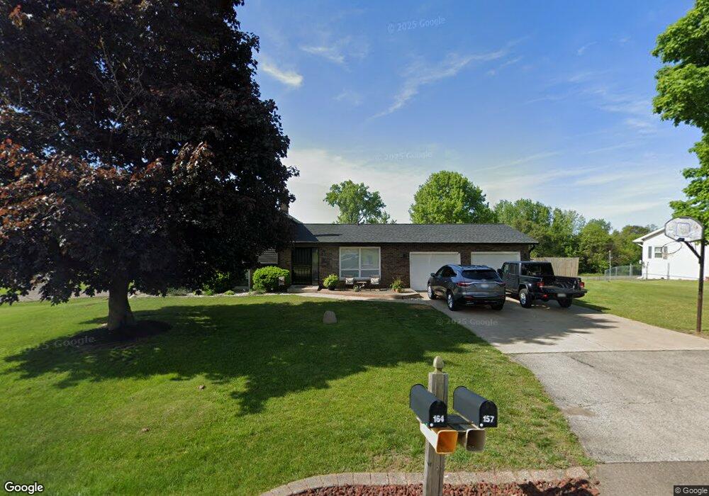
164 Humphrey Dr Battle Creek, MI 49014
Estimated Value: $247,000 - $265,889
3
Beds
3
Baths
1,120
Sq Ft
$229/Sq Ft
Est. Value
About This Home
This home is located at 164 Humphrey Dr, Battle Creek, MI 49014 and is currently estimated at $256,222, approximately $228 per square foot. 164 Humphrey Dr is a home located in Calhoun County with nearby schools including Harper Creek Middle School, Harper Creek High School, and St. Philip Catholic Central High School.
Ownership History
Date
Name
Owned For
Owner Type
Purchase Details
Closed on
Feb 26, 2025
Sold by
Bartlett Leon D
Bought by
Bartlett Leon D and Bartlett Vicki L
Current Estimated Value
Purchase Details
Closed on
Oct 29, 2013
Sold by
Mcmurtrie Gary L and Mcmurtrie Marilyn
Bought by
Bartlett Leon D
Home Financials for this Owner
Home Financials are based on the most recent Mortgage that was taken out on this home.
Original Mortgage
$122,735
Interest Rate
4.62%
Mortgage Type
FHA
Create a Home Valuation Report for This Property
The Home Valuation Report is an in-depth analysis detailing your home's value as well as a comparison with similar homes in the area
Home Values in the Area
Average Home Value in this Area
Purchase History
| Date | Buyer | Sale Price | Title Company |
|---|---|---|---|
| Bartlett Leon D | -- | None Listed On Document | |
| Bartlett Leon D | -- | None Listed On Document | |
| Bartlett Leon D | $125,000 | Chicago Title |
Source: Public Records
Mortgage History
| Date | Status | Borrower | Loan Amount |
|---|---|---|---|
| Previous Owner | Bartlett Leon D | $122,735 |
Source: Public Records
Tax History Compared to Growth
Tax History
| Year | Tax Paid | Tax Assessment Tax Assessment Total Assessment is a certain percentage of the fair market value that is determined by local assessors to be the total taxable value of land and additions on the property. | Land | Improvement |
|---|---|---|---|---|
| 2025 | $3,173 | $123,650 | $0 | $0 |
| 2024 | $1,849 | $119,590 | $0 | $0 |
| 2023 | $2,840 | $109,950 | $0 | $0 |
| 2022 | $1,677 | $98,960 | $0 | $0 |
| 2021 | $2,714 | $83,750 | $0 | $0 |
| 2020 | $2,765 | $76,950 | $0 | $0 |
| 2019 | $3,150 | $73,050 | $0 | $0 |
| 2018 | $2,377 | $67,000 | $8,200 | $58,800 |
| 2017 | $2,377 | $65,250 | $0 | $0 |
| 2016 | $2,377 | $63,800 | $0 | $0 |
| 2015 | $1,514 | $63,400 | $12,281 | $51,119 |
| 2014 | $1,514 | $61,900 | $12,281 | $49,619 |
Source: Public Records
Map
Nearby Homes
- 226 Nixon
- VL E Michigan Ave
- 154 Hidden Forest Rd
- 153 Hidden Forest Rd
- 140 Princeton St S
- 323 Wattles Rd S
- 8362 River Rd E
- 0 E River Rd
- 173 Strongwood Ave
- 840 Wattles Rd N
- 184 Shadowood Ln
- 605 Westbrook Ave
- 97 Shadow Bend Ln
- 329 Vass Ave
- 0 Rook St Unit 25019652
- 153 Martin St
- 23 Bradford St
- 79 Clark St
- 802 Michigan Ave E
- 0 Gavin Ln Unit 17