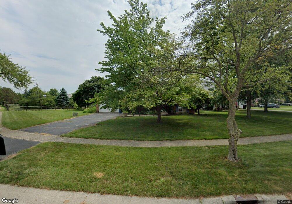
164 Mark Ln Perrysburg, OH 43551
Estimated Value: $257,000 - $279,000
3
Beds
2
Baths
1,460
Sq Ft
$182/Sq Ft
Est. Value
About This Home
This home is located at 164 Mark Ln, Perrysburg, OH 43551 and is currently estimated at $265,853, approximately $182 per square foot. 164 Mark Ln is a home located in Wood County with nearby schools including Frank Elementary School, Perrysburg Junior High School, and Perrysburg High School.
Ownership History
Date
Name
Owned For
Owner Type
Purchase Details
Closed on
Mar 26, 2004
Sold by
Heslet Todd E and Richards Brenda J
Bought by
Hug Richard J
Current Estimated Value
Home Financials for this Owner
Home Financials are based on the most recent Mortgage that was taken out on this home.
Original Mortgage
$109,600
Outstanding Balance
$49,891
Interest Rate
5.74%
Mortgage Type
Purchase Money Mortgage
Estimated Equity
$215,962
Purchase Details
Closed on
Jul 25, 1996
Sold by
Stanford Gay D
Bought by
Haslet Todd E and Richards Brenda J
Home Financials for this Owner
Home Financials are based on the most recent Mortgage that was taken out on this home.
Original Mortgage
$114,000
Interest Rate
8.43%
Mortgage Type
New Conventional
Purchase Details
Closed on
Sep 11, 1986
Bought by
Stanford Gay
Create a Home Valuation Report for This Property
The Home Valuation Report is an in-depth analysis detailing your home's value as well as a comparison with similar homes in the area
Home Values in the Area
Average Home Value in this Area
Purchase History
| Date | Buyer | Sale Price | Title Company |
|---|---|---|---|
| Hug Richard J | $137,000 | -- | |
| Haslet Todd E | $120,000 | -- | |
| Stanford Gay | -- | -- |
Source: Public Records
Mortgage History
| Date | Status | Borrower | Loan Amount |
|---|---|---|---|
| Open | Hug Richard J | $109,600 | |
| Previous Owner | Haslet Todd E | $114,000 |
Source: Public Records
Tax History
| Year | Tax Paid | Tax Assessment Tax Assessment Total Assessment is a certain percentage of the fair market value that is determined by local assessors to be the total taxable value of land and additions on the property. | Land | Improvement |
|---|---|---|---|---|
| 2025 | $3,699 | $66,535 | $18,550 | $47,985 |
| 2024 | $3,862 | $66,535 | $18,550 | $47,985 |
| 2023 | $3,862 | $66,540 | $18,550 | $47,990 |
| 2021 | $3,262 | $51,700 | $16,280 | $35,420 |
| 2020 | $3,244 | $51,700 | $16,280 | $35,420 |
| 2019 | $2,962 | $45,790 | $16,280 | $29,510 |
| 2018 | $2,630 | $45,790 | $16,280 | $29,510 |
| 2017 | $2,561 | $45,790 | $16,280 | $29,510 |
| 2016 | $2,594 | $43,480 | $16,280 | $27,200 |
| 2015 | $2,594 | $43,480 | $16,280 | $27,200 |
| 2014 | $2,615 | $43,480 | $16,280 | $27,200 |
| 2013 | $2,675 | $43,480 | $16,280 | $27,200 |
Source: Public Records
Map
Nearby Homes
- 1073 Westbrook Dr
- 832 Turnbury Ln Unit 28
- 1011 Cherry St
- 1037 Turnbury Ln Unit 1037
- 1010 Walnut St
- 1002 Walnut St
- 14 Hawthorne Crossing
- 872 Cherry St
- 1085 Birch Dr
- 733 Findlay St
- 160 Quail Rd
- 522 W 7th St
- 541 Mallard Rd
- 621 W Boundary St
- 11037 Bay Trace Dr
- 11023 Bay Trace Dr
- 429 W 5th St
- 1435 Indian Creek Dr
- 12378 Lincoln Blvd
- 555 Perry Dr
Your Personal Tour Guide
Ask me questions while you tour the home.