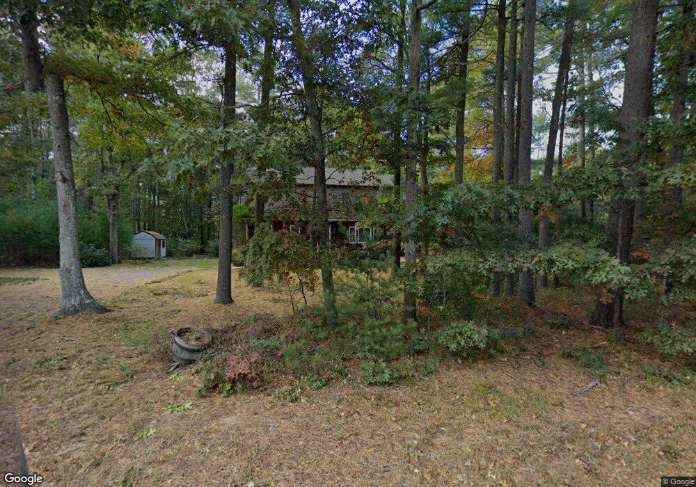
164 Oak St Pembroke, MA 02359
Estimated Value: $624,000 - $687,000
2
Beds
2
Baths
1,550
Sq Ft
$423/Sq Ft
Est. Value
About This Home
This home is located at 164 Oak St, Pembroke, MA 02359 and is currently estimated at $655,908, approximately $423 per square foot. 164 Oak St is a home located in Plymouth County with nearby schools including Pembroke High School, Cadence Academy Preschool - Hanover, and Cardinal Cushing Centers.
Ownership History
Date
Name
Owned For
Owner Type
Purchase Details
Closed on
Jan 17, 2001
Sold by
Sullivan Mark R
Bought by
Cole Catherine A
Current Estimated Value
Purchase Details
Closed on
Aug 22, 1997
Sold by
Kenerson Paul E
Bought by
Sullivan Mark R and Sullivan Catherine A
Home Financials for this Owner
Home Financials are based on the most recent Mortgage that was taken out on this home.
Original Mortgage
$95,000
Interest Rate
7.42%
Mortgage Type
Purchase Money Mortgage
Purchase Details
Closed on
Jun 30, 1988
Sold by
Kenerson June C
Bought by
Kenerson Paul E
Home Financials for this Owner
Home Financials are based on the most recent Mortgage that was taken out on this home.
Original Mortgage
$100,000
Interest Rate
10.47%
Mortgage Type
Purchase Money Mortgage
Create a Home Valuation Report for This Property
The Home Valuation Report is an in-depth analysis detailing your home's value as well as a comparison with similar homes in the area
Home Values in the Area
Average Home Value in this Area
Purchase History
| Date | Buyer | Sale Price | Title Company |
|---|---|---|---|
| Cole Catherine A | $12,000 | -- | |
| Sullivan Mark R | $159,000 | -- | |
| Kenerson Paul E | $100,000 | -- |
Source: Public Records
Mortgage History
| Date | Status | Borrower | Loan Amount |
|---|---|---|---|
| Previous Owner | Kenerson Paul E | $95,000 | |
| Previous Owner | Kenerson Paul E | $149,800 | |
| Previous Owner | Kenerson Paul E | $146,000 | |
| Previous Owner | Kenerson Paul E | $100,000 |
Source: Public Records
Tax History Compared to Growth
Tax History
| Year | Tax Paid | Tax Assessment Tax Assessment Total Assessment is a certain percentage of the fair market value that is determined by local assessors to be the total taxable value of land and additions on the property. | Land | Improvement |
|---|---|---|---|---|
| 2025 | $6,189 | $514,900 | $307,600 | $207,300 |
| 2024 | $5,880 | $488,800 | $302,400 | $186,400 |
| 2023 | $5,884 | $462,600 | $287,600 | $175,000 |
| 2022 | $5,544 | $391,800 | $237,000 | $154,800 |
| 2021 | $5,379 | $368,900 | $221,800 | $147,100 |
| 2020 | $5,179 | $357,400 | $217,000 | $140,400 |
| 2019 | $5,095 | $349,000 | $211,700 | $137,300 |
| 2018 | $5,037 | $338,300 | $211,700 | $126,600 |
| 2017 | $4,900 | $324,500 | $196,900 | $127,600 |
| 2016 | $4,738 | $310,500 | $181,700 | $128,800 |
| 2015 | $4,434 | $300,800 | $171,700 | $129,100 |
Source: Public Records
Map
Nearby Homes
- 66 Hemlock Dr
- 31 Hillcrest Dr
- 5 Royal Dane Dr Unit 46
- 21 Union St
- 10 Royal Dane Dr Unit 88
- 218 Schoosett St
- 451 School St Unit 5-2
- 46 Lorna Ave
- 21 Chowdermarch St
- 17 Sherman Way
- 387 North St
- 261 Washington St
- 15 Bagnell Dr Unit 15
- 15 Kings Terrace
- 2 Proprietors Dr Unit 23
- 33 Barker Square Dr Unit 33
- 172 Washington St
- 61 North St
- 133 Brigantine Cir
- 19 Hayloft Ln