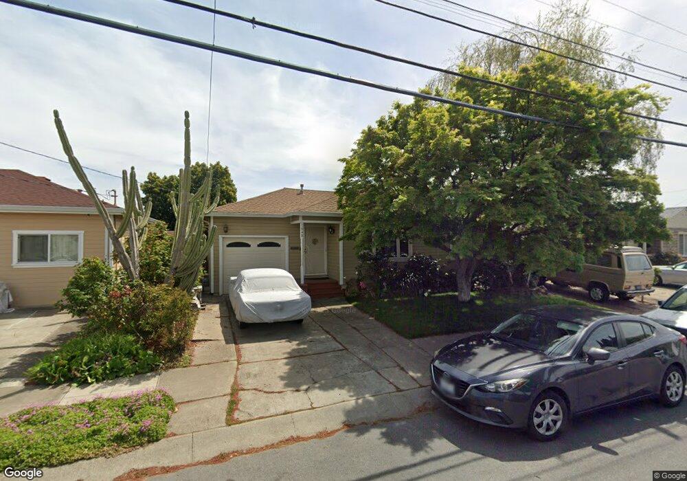
1640 142nd Ave San Leandro, CA 94578
Upper Bal NeighborhoodEstimated Value: $732,000 - $866,000
2
Beds
1
Bath
903
Sq Ft
$870/Sq Ft
Est. Value
About This Home
This home is located at 1640 142nd Ave, San Leandro, CA 94578 and is currently estimated at $785,961, approximately $870 per square foot. 1640 142nd Ave is a home located in Alameda County with nearby schools including Jefferson Elementary School, Bancroft Middle School, and San Leandro High School.
Ownership History
Date
Name
Owned For
Owner Type
Purchase Details
Closed on
Apr 16, 2007
Sold by
Chow Phillip
Bought by
Jacquet Mark
Current Estimated Value
Home Financials for this Owner
Home Financials are based on the most recent Mortgage that was taken out on this home.
Original Mortgage
$436,000
Outstanding Balance
$266,792
Interest Rate
6.37%
Mortgage Type
Purchase Money Mortgage
Estimated Equity
$519,169
Purchase Details
Closed on
Oct 5, 2006
Sold by
Chow Kam Yung
Bought by
Chow Phillip
Purchase Details
Closed on
Nov 14, 1993
Sold by
Federal Home Loan Mortgage Corporation
Bought by
Chow Kam Yung and Chow Phillip
Home Financials for this Owner
Home Financials are based on the most recent Mortgage that was taken out on this home.
Original Mortgage
$112,000
Interest Rate
3.87%
Create a Home Valuation Report for This Property
The Home Valuation Report is an in-depth analysis detailing your home's value as well as a comparison with similar homes in the area
Home Values in the Area
Average Home Value in this Area
Purchase History
| Date | Buyer | Sale Price | Title Company |
|---|---|---|---|
| Jacquet Mark | $545,000 | Placer Title Company | |
| Chow Phillip | -- | None Available | |
| Chow Kam Yung | $140,000 | Old Republic Title Company |
Source: Public Records
Mortgage History
| Date | Status | Borrower | Loan Amount |
|---|---|---|---|
| Open | Jacquet Mark | $436,000 | |
| Previous Owner | Chow Kam Yung | $112,000 |
Source: Public Records
Tax History Compared to Growth
Tax History
| Year | Tax Paid | Tax Assessment Tax Assessment Total Assessment is a certain percentage of the fair market value that is determined by local assessors to be the total taxable value of land and additions on the property. | Land | Improvement |
|---|---|---|---|---|
| 2025 | $9,376 | $723,124 | $219,037 | $511,087 |
| 2024 | $9,376 | $708,813 | $214,744 | $501,069 |
| 2023 | $9,397 | $701,780 | $210,534 | $491,246 |
| 2022 | $9,116 | $681,024 | $206,407 | $481,617 |
| 2021 | $8,860 | $667,534 | $202,360 | $472,174 |
| 2020 | $8,649 | $667,618 | $200,285 | $467,333 |
| 2019 | $8,377 | $654,533 | $196,360 | $458,173 |
| 2018 | $7,650 | $600,000 | $180,000 | $420,000 |
| 2017 | $6,079 | $470,000 | $141,000 | $329,000 |
| 2016 | $5,232 | $416,000 | $124,800 | $291,200 |
| 2015 | $4,732 | $375,000 | $112,500 | $262,500 |
| 2014 | $4,198 | $325,000 | $97,500 | $227,500 |
Source: Public Records
Map
Nearby Homes
- 2724 Benedict Dr
- 1293 Vistagrand Dr
- 14101 E 14th St Unit 306
- 14625 Bancroft Ave
- 1939 Placer Dr
- 1253 139th Ave
- 0 Saturn Dr
- 14683 Midland Rd
- 2147 Trombas Ave
- 1162 136th Ave
- 14960 Portofino Cir
- 14955 Lark St
- 14972 Lark St
- 14973 Patton Ave
- 2290 Upland Rd
- 2399 E 14th St Unit 179
- 2399 E 14th St Unit 19
- 2399 E 14th St Unit 143
- 2399 E 14th St Unit 66
- 2399 E 14th St Unit 159