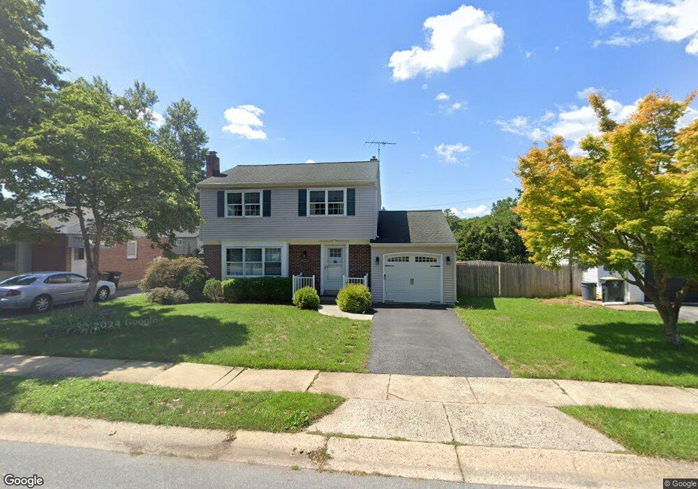
1640 Robert Rd Lancaster, PA 17601
Estimated Value: $326,123 - $387,000
4
Beds
2
Baths
1,336
Sq Ft
$267/Sq Ft
Est. Value
About This Home
This home is located at 1640 Robert Rd, Lancaster, PA 17601 and is currently estimated at $357,281, approximately $267 per square foot. 1640 Robert Rd is a home located in Lancaster County with nearby schools including Fritz Elementary School, Gerald G. Huesken Middle School, and Conestoga Valley High School.
Ownership History
Date
Name
Owned For
Owner Type
Purchase Details
Closed on
Nov 8, 2016
Sold by
Hollinger Cara L and Eisemann Cara L
Bought by
Eisemann Cara L and Eisemann Benjamin T
Current Estimated Value
Home Financials for this Owner
Home Financials are based on the most recent Mortgage that was taken out on this home.
Original Mortgage
$120,000
Outstanding Balance
$56,958
Interest Rate
3.47%
Mortgage Type
New Conventional
Estimated Equity
$300,323
Purchase Details
Closed on
Nov 18, 2005
Sold by
Gatsos David D and Gatsos Cynthia L
Bought by
Hollinger Cara L
Home Financials for this Owner
Home Financials are based on the most recent Mortgage that was taken out on this home.
Original Mortgage
$142,100
Interest Rate
6.07%
Mortgage Type
Fannie Mae Freddie Mac
Create a Home Valuation Report for This Property
The Home Valuation Report is an in-depth analysis detailing your home's value as well as a comparison with similar homes in the area
Home Values in the Area
Average Home Value in this Area
Purchase History
| Date | Buyer | Sale Price | Title Company |
|---|---|---|---|
| Eisemann Cara L | -- | None Available | |
| Hollinger Cara L | $157,900 | None Available |
Source: Public Records
Mortgage History
| Date | Status | Borrower | Loan Amount |
|---|---|---|---|
| Open | Eisemann Cara L | $120,000 | |
| Closed | Hollinger Cara L | $142,100 |
Source: Public Records
Tax History
| Year | Tax Paid | Tax Assessment Tax Assessment Total Assessment is a certain percentage of the fair market value that is determined by local assessors to be the total taxable value of land and additions on the property. | Land | Improvement |
|---|---|---|---|---|
| 2025 | $5,255 | $169,900 | $54,600 | $115,300 |
| 2024 | $5,255 | $169,900 | $54,600 | $115,300 |
| 2023 | $5,185 | $169,900 | $54,600 | $115,300 |
| 2022 | $4,942 | $169,900 | $54,600 | $115,300 |
| 2021 | $4,826 | $169,900 | $54,600 | $115,300 |
| 2020 | $4,826 | $169,900 | $54,600 | $115,300 |
| 2019 | $4,758 | $169,900 | $54,600 | $115,300 |
| 2018 | $4,359 | $169,900 | $54,600 | $115,300 |
| 2017 | $4,174 | $122,400 | $25,900 | $96,500 |
| 2016 | $4,122 | $122,400 | $25,900 | $96,500 |
| 2015 | $2,173 | $122,400 | $25,900 | $96,500 |
| 2014 | $3,316 | $122,400 | $25,900 | $96,500 |
Source: Public Records
Map
Nearby Homes
- 508 Oak Grove Dr
- 509 Oak Grove Dr
- 33 Deer Ford Dr
- 152 Deer Ford Dr
- 47 Riverside Ave
- 824 Carrie Ct
- 742 Nancy Ln
- 1055 Louise Ave
- 89 Greenfield Rd
- 1015 E Walnut St
- 1045 Grandview Blvd
- 38 Conestoga Dr
- 83 Highland Dr
- 310 Summers Dr
- 980 E Orange St
- 1036 E King St
- 77 Highland Dr
- 630 Fountain Ave
- 403 Eastwood Ln
- 443 Eastwood Ln
- 1644 Robert Rd
- 1636 Robert Rd
- 1637 Princess Anne Dr
- 1641 Princess Anne Dr
- 1632 Robert Rd
- 1633 Princess Anne Dr
- 1648 Robert Rd
- 1645 Princess Anne Dr
- 1647 Robert Rd
- 1651 Robert Rd
- 1643 Robert Rd
- 1629 Princess Anne Dr
- 1628 Robert Rd
- 1655 Robert Rd
- 1639 Robert Rd
- 184 Samuel Rd
- 1649 Princess Anne Dr
- 1625 Princess Anne Dr
- 1635 Robert Rd
- 192 Samuel Rd
Your Personal Tour Guide
Ask me questions while you tour the home.