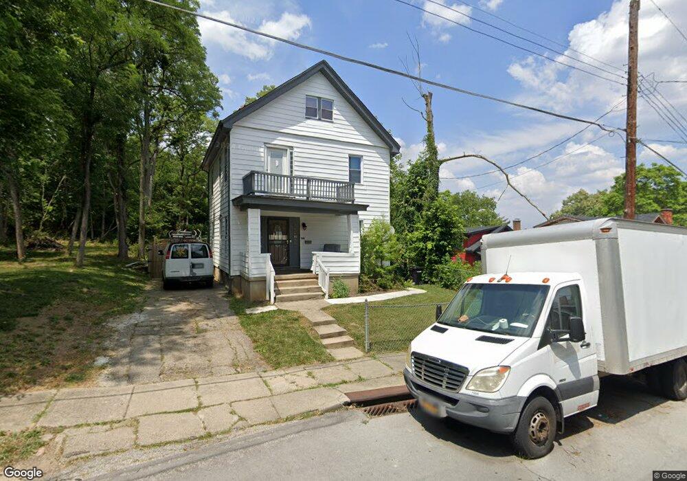
1640 Sutter Ave Cincinnati, OH 45225
North Fairmount NeighborhoodEstimated Value: $75,000 - $110,886
2
Beds
2
Baths
1,916
Sq Ft
$49/Sq Ft
Est. Value
About This Home
This home is located at 1640 Sutter Ave, Cincinnati, OH 45225 and is currently estimated at $94,722, approximately $49 per square foot. 1640 Sutter Ave is a home located in Hamilton County with nearby schools including Oyler School, Robert A. Taft Information Technology High School, and Western Hills High School.
Ownership History
Date
Name
Owned For
Owner Type
Purchase Details
Closed on
Jul 18, 2019
Sold by
Cook Realty Llc
Bought by
Bennett Peniston
Current Estimated Value
Purchase Details
Closed on
Mar 17, 2017
Sold by
Royles Rhonda
Bought by
J Cook Realty Llc
Purchase Details
Closed on
Dec 4, 2012
Sold by
Porter Estelle
Bought by
Royles Rhonda
Create a Home Valuation Report for This Property
The Home Valuation Report is an in-depth analysis detailing your home's value as well as a comparison with similar homes in the area
Home Values in the Area
Average Home Value in this Area
Purchase History
| Date | Buyer | Sale Price | Title Company |
|---|---|---|---|
| Bennett Peniston | $20,000 | None Available | |
| J Cook Realty Llc | $1,000 | -- | |
| Royles Rhonda | $5,500 | Attorney |
Source: Public Records
Tax History
| Year | Tax Paid | Tax Assessment Tax Assessment Total Assessment is a certain percentage of the fair market value that is determined by local assessors to be the total taxable value of land and additions on the property. | Land | Improvement |
|---|---|---|---|---|
| 2025 | $1,058 | $16,492 | $1,974 | $14,518 |
| 2023 | $1,059 | $16,492 | $1,974 | $14,518 |
| 2022 | $507 | $7,001 | $2,811 | $4,190 |
| 2021 | $494 | $7,001 | $2,811 | $4,190 |
| 2020 | $496 | $7,001 | $2,811 | $4,190 |
| 2019 | $931 | $10,045 | $2,926 | $7,119 |
| 2018 | $777 | $10,045 | $2,926 | $7,119 |
| 2017 | $748 | $10,045 | $2,926 | $7,119 |
| 2016 | $1,099 | $14,469 | $3,444 | $11,025 |
| 2015 | $983 | $14,469 | $3,444 | $11,025 |
| 2014 | $988 | $14,469 | $3,444 | $11,025 |
| 2013 | $1,058 | $15,232 | $3,626 | $11,606 |
Source: Public Records
Map
Nearby Homes
- 1642 Sutter Ave
- 2911 Moosewood Ct
- 1646 Pulte St
- 1613 Pulte St
- 1607 Pulte St
- 1674 Baltimore Ave
- 1797 Denham St
- 2658 Linden St
- 2656 Linden St
- 2654 Linden St
- 2652 Linden St
- 2650 Linden St
- 1781 Baltimore Ave
- 2594 Seegar Ave
- 1808 Carll St
- 1793 Baltimore Ave
- 2568 Trevor Place
- 2572 Liddell St
- 1859 Baltimore Ave
- 2564 Linden St
- 2907 Moosewood Ct
- 2903 Moosewood Ct
- 1703 Sutter Ave
- 1633 Sutter Ave
- 1631 Sutter Ave
- 1630 Sutter Ave
- 1621 Hopple Ct
- 1627 Sutter Ave
- 1713 Sutter Ave
- 1625 Sutter Ave
- 1715 Sutter Ave
- 1617 Hopple Ct
- 1624 Sutter Ave
- 1717 Sutter Ave
- 1700 Pulte St
- 1622 Hopple Ct
- 1615 Hopple Ct
- 1620 Hopple Ct
- 1621 Sutter Ave
- 1708 Pulte St
Your Personal Tour Guide
Ask me questions while you tour the home.