Estimated Value: $366,000 - $396,795
3
Beds
2
Baths
2,184
Sq Ft
$176/Sq Ft
Est. Value
About This Home
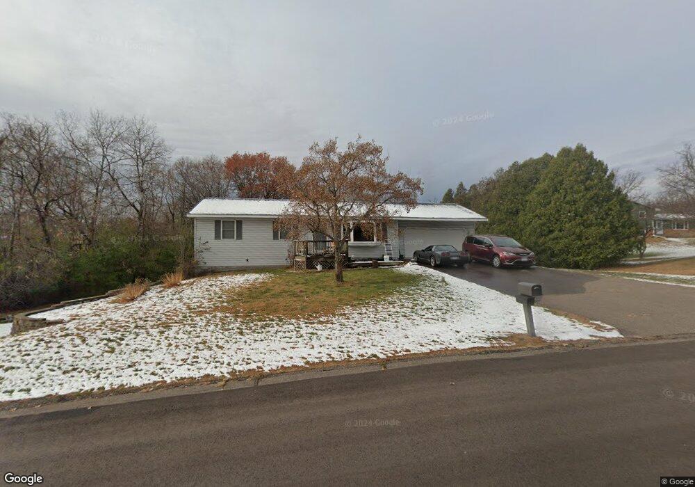
This home is located at 16400 Okapi St NW, Anoka, MN 55303 and is currently estimated at $384,449, approximately $176 per square foot. 16400 Okapi St NW is a home located in Anoka County with nearby schools including Brookside Elementary School, Anoka Middle School for the Arts - Fred Moor Campus, and Anoka Senior High School.
Ownership History
Date
Name
Owned For
Owner Type
Purchase Details
Closed on
Oct 15, 2015
Sold by
Komro Timothy C and Komro Kimberly K
Bought by
Triemert Jason K
Current Estimated Value
Home Financials for this Owner
Home Financials are based on the most recent Mortgage that was taken out on this home.
Original Mortgage
$205,214
Outstanding Balance
$160,744
Interest Rate
3.75%
Mortgage Type
FHA
Estimated Equity
$223,705
Create a Home Valuation Report for This Property
The Home Valuation Report is an in-depth analysis detailing your home's value as well as a comparison with similar homes in the area
Home Values in the Area
Average Home Value in this Area
Purchase History
| Date | Buyer | Sale Price | Title Company |
|---|---|---|---|
| Triemert Jason K | $209,000 | Liberty Title Inc |
Source: Public Records
Mortgage History
| Date | Status | Borrower | Loan Amount |
|---|---|---|---|
| Open | Triemert Jason K | $205,214 |
Source: Public Records
Tax History Compared to Growth
Tax History
| Year | Tax Paid | Tax Assessment Tax Assessment Total Assessment is a certain percentage of the fair market value that is determined by local assessors to be the total taxable value of land and additions on the property. | Land | Improvement |
|---|---|---|---|---|
| 2025 | $3,836 | $348,800 | $110,500 | $238,300 |
| 2024 | $3,836 | $349,000 | $116,000 | $233,000 |
| 2023 | $3,410 | $333,800 | $100,500 | $233,300 |
| 2022 | $3,027 | $333,500 | $88,400 | $245,100 |
| 2021 | $2,788 | $271,400 | $75,500 | $195,900 |
| 2020 | $2,594 | $252,100 | $66,700 | $185,400 |
| 2019 | $2,569 | $229,600 | $57,800 | $171,800 |
| 2018 | $2,494 | $221,800 | $0 | $0 |
| 2017 | $2,233 | $209,600 | $0 | $0 |
| 2016 | $2,229 | $185,300 | $0 | $0 |
| 2015 | $2,115 | $185,300 | $57,100 | $128,200 |
| 2014 | -- | $159,800 | $46,400 | $113,400 |
Source: Public Records
Map
Nearby Homes
- 16401 Kangaroo St NW
- 17000 Jackal St NW
- 9160 164th Ln NW
- Ashlyn Plan at Trott Brook Crossing
- Alley Plan at Trott Brook Crossing
- Henry Plan at Trott Brook Crossing
- Sully Plan at Trott Brook Crossing
- 17041 Uranimite St NW
- Arlow Plan at Trott Brook Crossing
- Nora Plan at Trott Brook Crossing
- Kenny Plan at Trott Brook Crossing
- Hudson Plan at Trott Brook Crossing
- 15295 Marmoset St NW
- 7442 171st Ln NW
- 7445 170th Ln NW
- 15240 Kangaroo St NW
- 17007 Traprock St NW
- 17019 Traprock St NW
- 15230 Kangaroo St NW
- 15212 Nutria St NW
- 16424 Okapi St NW
- 16413 Okapi St NW
- 16325 Okapi St NW
- 8513 164th Ln NW
- 16326 Okapi St NW
- 8500 164th Ln NW
- 8427 164th Cir NW
- 8450 166th Cir NW
- 8437 164th Ln NW
- 8502 164th Cir NW
- 16314 Okapi St NW
- 8424 164th Ln NW
- 8423 164th Ln NW
- 16313 Okapi St NW
- 16271 Royal Rd
- 16321 Royal Rd
- 16311 Royal Rd
- 16291 Royal Rd
- 8426 164th Cir NW
- 16402 Marmoset St NW