1642 State Highway 9 Decorah, IA 52101
Estimated Value: $242,000 - $322,228
3
Beds
2
Baths
2,253
Sq Ft
$127/Sq Ft
Est. Value
About This Home
This home is located at 1642 State Highway 9, Decorah, IA 52101 and is currently estimated at $285,057, approximately $126 per square foot. 1642 State Highway 9 is a home located in Winneshiek County with nearby schools including West Side Elementary School, John Cline Elementary School, and Carrie Lee Elementary School.
Ownership History
Date
Name
Owned For
Owner Type
Purchase Details
Closed on
Jan 4, 2000
Sold by
Oryella Willard K and Orvella Eloise A
Bought by
Orvella Larry A and Orvella Jane A
Current Estimated Value
Home Financials for this Owner
Home Financials are based on the most recent Mortgage that was taken out on this home.
Original Mortgage
$232,870
Interest Rate
5.13%
Mortgage Type
FHA
Create a Home Valuation Report for This Property
The Home Valuation Report is an in-depth analysis detailing your home's value as well as a comparison with similar homes in the area
Home Values in the Area
Average Home Value in this Area
Purchase History
| Date | Buyer | Sale Price | Title Company |
|---|---|---|---|
| Orvella Larry A | $110,000 | None Available |
Source: Public Records
Mortgage History
| Date | Status | Borrower | Loan Amount |
|---|---|---|---|
| Previous Owner | Orvella Larry A | $232,870 |
Source: Public Records
Tax History Compared to Growth
Tax History
| Year | Tax Paid | Tax Assessment Tax Assessment Total Assessment is a certain percentage of the fair market value that is determined by local assessors to be the total taxable value of land and additions on the property. | Land | Improvement |
|---|---|---|---|---|
| 2024 | $2,918 | $201,470 | $66,450 | $135,020 |
| 2023 | $2,804 | $204,660 | $66,450 | $138,210 |
| 2022 | $2,622 | $173,650 | $53,520 | $120,130 |
| 2021 | $2,528 | $162,500 | $53,520 | $108,980 |
| 2020 | $2,528 | $157,770 | $57,180 | $100,590 |
| 2019 | $2,604 | $199,220 | $0 | $0 |
| 2018 | $2,660 | $199,220 | $0 | $0 |
| 2017 | $2,900 | $227,220 | $0 | $0 |
| 2016 | $2,868 | $227,220 | $0 | $0 |
| 2015 | $2,696 | $214,470 | $0 | $0 |
| 2014 | $2,624 | $214,470 | $0 | $0 |
Source: Public Records
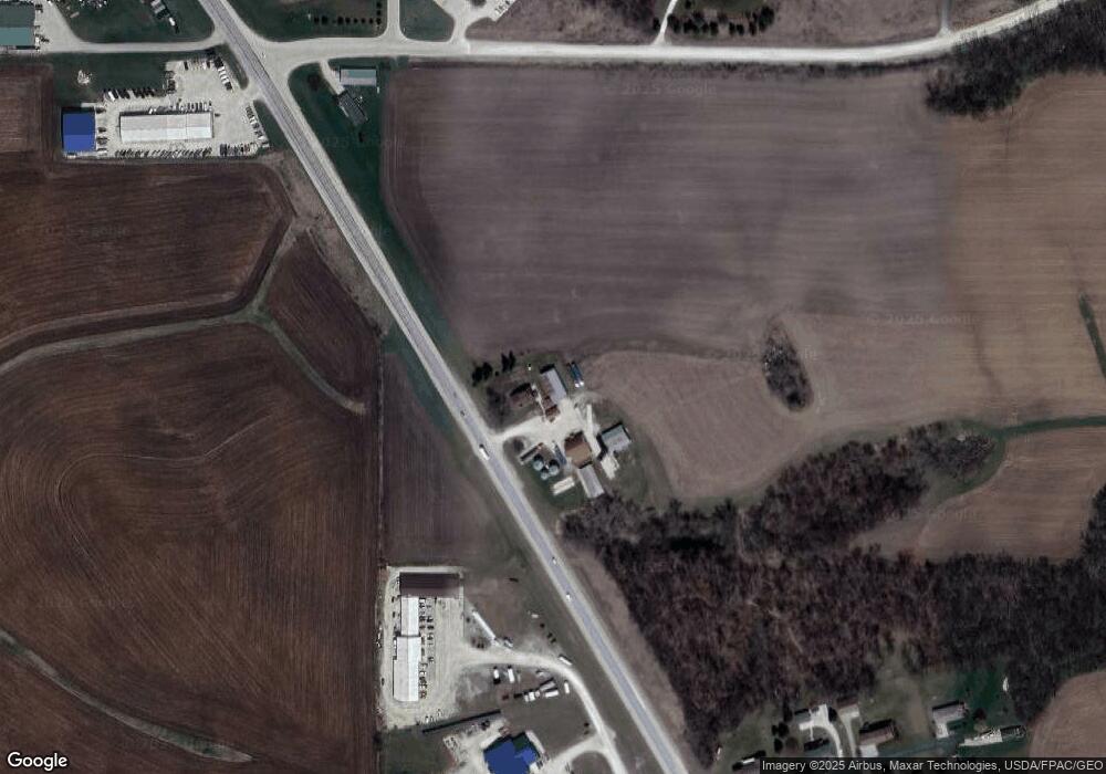
Map
Nearby Homes
- 1634 Hickory Hill Rd
- 1625 Hickory Hill Rd
- 2416 Crown Rd
- 0 Shagbark Lane Rd
- 1004 Shagbark Rd
- 2420 Crown Rd
- 2354 Shagbark Lane Rd
- 0 Shagbark Ln Rd Unit NBR20250458
- 0 Shagbark Ln Rd Unit NBR20250457
- 2411 Aspen Lane Rd
- 2508 170th Ave
- 2521 Gk Ave
- 0 Commerce Dr
- 705 Rural Ave
- 0 Pleasant Ave Unit 20222279
- 1815 Whitetail Rd
- 406 Twin View Dr
- 319 Pershing Ave
- 0 Stapleton Dr
- 1500 Division St
- 1668 Jordan West Rd
- 2299 Oil Well Rd
- 1632 Hickory Hill Rd
- 1626 Hickory Hill Rd
- TBD Oil Well Rd
- 0 Oil Well Rd
- 2292 Oil Well Rd
- 1633 Hickory Hill Rd
- 1627 Hickory Hill Rd
- 1620 Hickory Hill Rd
- 1623 Hickory Hill Rd
- 1621 Hickory Hill Rd
- 1656 Iowa 9
- 2279 Oil Well Rd
- 2288 Oil Well Rd
- 2275 Oil Well Rd
- 2324 Sweet Parkway Rd
- 1665 Prosperity Rd
- 2336-2342 Sweet Parkway Rd
- 2327 Tanglewood Rd