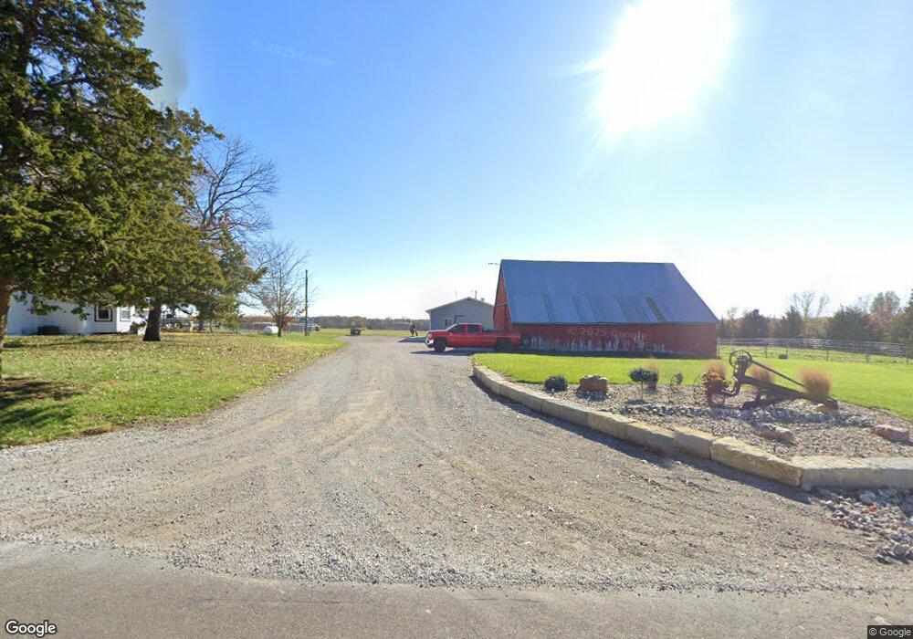
16421 Mcintyre Rd Leavenworth, KS 66048
Estimated Value: $273,260 - $493,000
3
Beds
2
Baths
1,245
Sq Ft
$306/Sq Ft
Est. Value
About This Home
This home is located at 16421 Mcintyre Rd, Leavenworth, KS 66048 and is currently estimated at $380,420, approximately $305 per square foot. 16421 Mcintyre Rd is a home located in Leavenworth County with nearby schools including Lansing Elementary School, Lansing Middle 6-8, and Lansing High 9-12.
Ownership History
Date
Name
Owned For
Owner Type
Purchase Details
Closed on
Apr 1, 2021
Sold by
Mccall David W and Mccall Elizabeth A
Bought by
Thomas Dalton T and Thomas Quincey R
Current Estimated Value
Home Financials for this Owner
Home Financials are based on the most recent Mortgage that was taken out on this home.
Original Mortgage
$199,500
Outstanding Balance
$179,540
Interest Rate
2.8%
Mortgage Type
New Conventional
Estimated Equity
$200,880
Create a Home Valuation Report for This Property
The Home Valuation Report is an in-depth analysis detailing your home's value as well as a comparison with similar homes in the area
Home Values in the Area
Average Home Value in this Area
Purchase History
| Date | Buyer | Sale Price | Title Company |
|---|---|---|---|
| Thomas Dalton T | $265,335 | Lawyers Title |
Source: Public Records
Mortgage History
| Date | Status | Borrower | Loan Amount |
|---|---|---|---|
| Open | Thomas Dalton T | $199,500 |
Source: Public Records
Tax History Compared to Growth
Tax History
| Year | Tax Paid | Tax Assessment Tax Assessment Total Assessment is a certain percentage of the fair market value that is determined by local assessors to be the total taxable value of land and additions on the property. | Land | Improvement |
|---|---|---|---|---|
| 2025 | $2,477 | $24,904 | $6,942 | $17,962 |
| 2024 | $2,477 | $24,016 | $6,503 | $17,513 |
| 2023 | $2,477 | $23,251 | $6,500 | $16,751 |
| 2022 | $1,918 | $20,800 | $5,575 | $15,225 |
| 2021 | $1,918 | $18,140 | $5,742 | $12,398 |
| 2020 | $1,959 | $17,144 | $5,492 | $11,652 |
| 2019 | $1,877 | $16,411 | $5,078 | $11,333 |
| 2018 | $1,612 | $14,159 | $4,050 | $10,109 |
| 2017 | $1,574 | $13,790 | $3,813 | $9,977 |
| 2016 | $1,570 | $13,775 | $3,769 | $10,006 |
| 2015 | $1,505 | $13,270 | $3,721 | $9,549 |
| 2014 | $1,437 | $12,907 | $3,670 | $9,237 |
Source: Public Records
Map
Nearby Homes
- 24450 171st St
- 16430 Dana Ln
- 00000 Gilman Rd
- Lot 6 163rd St
- 25030 177th Terrace
- 17860 Clearview Dr
- 15280 Roger Rd
- 25770 Tonganoxie Dr
- 25055 Woodridge Cir
- 15331 Price Rd
- 1221 S Desoto Rd
- 833 Rock Creek Dr
- 22617 155th St
- 875 Clearview Dr
- 705 Rock Creek Dr
- 15038 Fairmount Rd
- 14934 Fairmount Rd
- 000 4-H Rd
- 811 4-H Rd
- 22119 171st St
- 16420 Mcintyre Rd
- 16374 Mcintyre Rd
- 16551 Mcintyre Rd
- 16664 Mcintyre Rd
- 24503 163rd St
- 16637 Mcintyre Rd
- 24575 163rd St
- 24619 163rd St
- 24161 163rd St
- 24649 163rd St
- 16730 Mcintyre Rd
- 16261 Leo Cir
- 24673 163rd St
- 16221 Leo Cir
- 16736 Mcintyre Rd
- 16260 Leo Cir
- 24747 163rd St
- 16740 Mcintyre Rd
- 16220 Leo Cir
- 16261 Hollie Cir