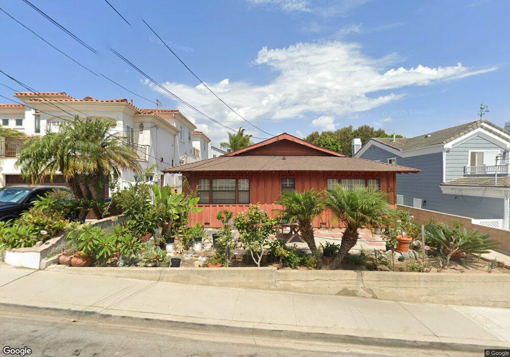
1643 Curtis Ave Manhattan Beach, CA 90266
Estimated Value: $1,813,000 - $2,489,000
4
Beds
2
Baths
1,525
Sq Ft
$1,403/Sq Ft
Est. Value
About This Home
This home is located at 1643 Curtis Ave, Manhattan Beach, CA 90266 and is currently estimated at $2,140,089, approximately $1,403 per square foot. 1643 Curtis Ave is a home located in Los Angeles County with nearby schools including Aurelia Pennekamp Elementary School, Manhattan Beach Middle School, and Mira Costa High School.
Ownership History
Date
Name
Owned For
Owner Type
Purchase Details
Closed on
Jan 30, 2003
Sold by
Struwve Victor J
Bought by
Struwve Victor J and The Victor J Struwve Living Trust
Current Estimated Value
Purchase Details
Closed on
May 24, 2002
Sold by
Ritter Birdie L
Bought by
Struwve Victor J
Purchase Details
Closed on
Oct 24, 2001
Sold by
Ritter Birdie L
Bought by
Ritter Birdie L
Purchase Details
Closed on
Sep 28, 2001
Sold by
Gillibrand Toni Lee
Bought by
Struwve Victor J
Purchase Details
Closed on
Aug 31, 2001
Sold by
Struwve Victor
Bought by
Struwve Victor J
Create a Home Valuation Report for This Property
The Home Valuation Report is an in-depth analysis detailing your home's value as well as a comparison with similar homes in the area
Home Values in the Area
Average Home Value in this Area
Purchase History
| Date | Buyer | Sale Price | Title Company |
|---|---|---|---|
| Struwve Victor J | -- | -- | |
| Struwve Victor J | -- | -- | |
| Ritter Birdie L | -- | -- | |
| Struwve Victor J | -- | -- | |
| Struwve Victor J | -- | -- |
Source: Public Records
Tax History Compared to Growth
Tax History
| Year | Tax Paid | Tax Assessment Tax Assessment Total Assessment is a certain percentage of the fair market value that is determined by local assessors to be the total taxable value of land and additions on the property. | Land | Improvement |
|---|---|---|---|---|
| 2025 | $1,898 | $105,847 | $67,638 | $38,209 |
| 2024 | $1,898 | $103,772 | $66,312 | $37,460 |
| 2023 | $1,674 | $101,738 | $65,012 | $36,726 |
| 2022 | $1,653 | $99,744 | $63,738 | $36,006 |
| 2021 | $1,687 | $97,789 | $62,489 | $35,300 |
| 2019 | $1,652 | $94,891 | $60,637 | $34,254 |
| 2018 | $1,517 | $93,032 | $59,449 | $33,583 |
| 2016 | $1,205 | $89,422 | $57,142 | $32,280 |
| 2015 | $1,183 | $88,080 | $56,284 | $31,796 |
| 2014 | $1,181 | $86,356 | $55,182 | $31,174 |
Source: Public Records
Map
Nearby Homes
- 1706 2nd St
- 207 S Aviation Blvd
- 1643 3rd St
- 1500 2nd St
- 1756 Ruhland Ave
- 1902 Gates Ave
- 2406 Aviation Blvd Unit C
- 2700 Aviation Blvd
- 615 Aviation Way
- 1752 Carver St
- 1752 Dixon St
- 1758 Reed St
- 1906 Plant Ave
- 1742 Reed St
- 1711 Axenty Way
- 1760 9th St
- 1816 9th St
- 2021 Curtis Ave
- 1820 9th St
- 1900 Vanderbilt Ln
- 1647 Curtis Ave
- 1637 Curtis Ave
- 1653 Curtis Ave
- 1633 Curtis Ave
- 1627 Curtis Ave
- 1642 Gates Ave
- 1657 Curtis Ave
- 217 S Redondo Ave
- 1646 Gates Ave
- 1636 Gates Ave
- 207 S Redondo Ave
- 1632 Gates Ave
- 1642 Curtis Ave
- 1636 Curtis Ave
- 1646 Curtis Ave
- 1623 Curtis Ave
- 1626 Gates Ave
- 1632 Curtis Ave
- 1652 Curtis Ave
- 1656 Gates Ave