1644 Major Abercrombie Cir Murrayville, GA 30564
Murrayville NeighborhoodEstimated Value: $194,801 - $373,000
--
Bed
1
Bath
672
Sq Ft
$409/Sq Ft
Est. Value
About This Home
This home is located at 1644 Major Abercrombie Cir, Murrayville, GA 30564 and is currently estimated at $274,700, approximately $408 per square foot. 1644 Major Abercrombie Cir is a home located in Lumpkin County with nearby schools including Clay County Middle School and Lumpkin County High School.
Ownership History
Date
Name
Owned For
Owner Type
Purchase Details
Closed on
Jul 2, 2015
Sold by
Webb Robert Wayne
Bought by
Webb Robert Wayne and Webb Tiffannie Annette
Current Estimated Value
Purchase Details
Closed on
Sep 6, 2014
Sold by
Webb Stephen B
Bought by
Webb Robert Wayne
Purchase Details
Closed on
Aug 28, 2014
Sold by
Webb William Young
Bought by
Webb William Wayne
Purchase Details
Closed on
Aug 27, 2014
Sold by
Webb Michael L
Bought by
Webb William Wayne
Purchase Details
Closed on
Jul 19, 2006
Sold by
Not Provided
Bought by
Gosselin Zelma L
Create a Home Valuation Report for This Property
The Home Valuation Report is an in-depth analysis detailing your home's value as well as a comparison with similar homes in the area
Home Values in the Area
Average Home Value in this Area
Purchase History
| Date | Buyer | Sale Price | Title Company |
|---|---|---|---|
| Webb Robert Wayne | -- | -- | |
| Webb Robert Wayne | -- | -- | |
| Webb William Wayne | -- | -- | |
| Webb Robert Wayne | -- | -- | |
| Webb William Wayne | -- | -- | |
| Gosselin Zelma L | $120,000 | -- |
Source: Public Records
Tax History Compared to Growth
Tax History
| Year | Tax Paid | Tax Assessment Tax Assessment Total Assessment is a certain percentage of the fair market value that is determined by local assessors to be the total taxable value of land and additions on the property. | Land | Improvement |
|---|---|---|---|---|
| 2024 | $189 | $76,853 | $46,567 | $30,286 |
| 2023 | $3 | $70,157 | $41,935 | $28,222 |
| 2022 | $91 | $59,210 | $34,947 | $24,263 |
| 2021 | $94 | $55,067 | $34,947 | $20,120 |
| 2020 | $84 | $53,042 | $33,486 | $19,556 |
| 2019 | $85 | $53,042 | $33,486 | $19,556 |
| 2018 | $91 | $50,891 | $33,486 | $17,405 |
Source: Public Records
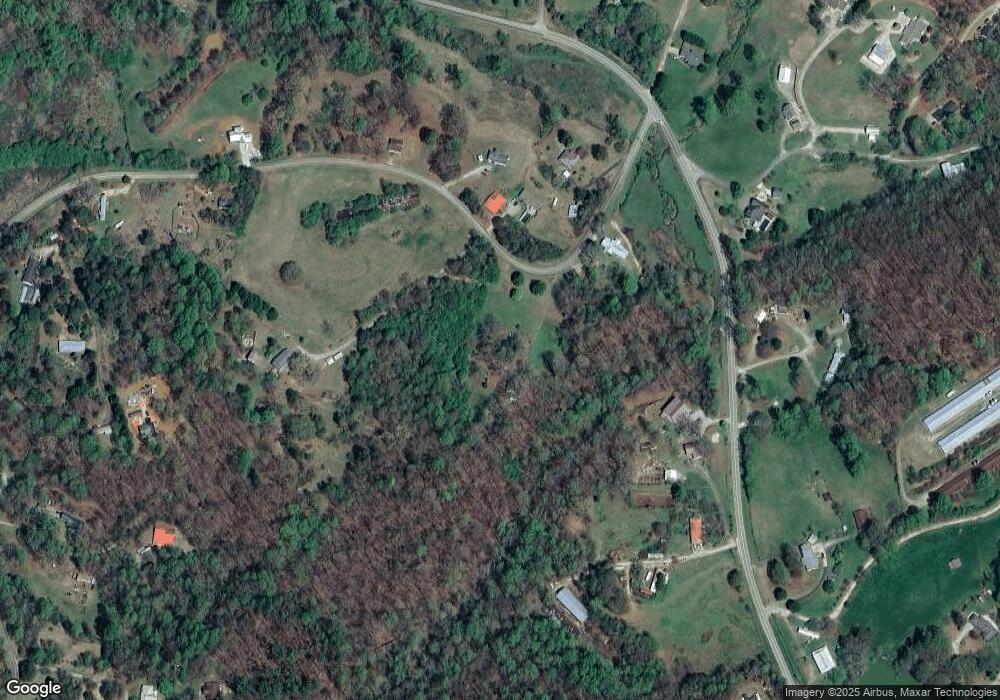
Map
Nearby Homes
- 600 Chapman Ridge Ln
- 500 Chapman Ridge Ln
- 27.68 Chapman Ridge Ln
- 100 Rocky Branch Dr
- 6480 Highway 52 W
- 12 Katydid Ln
- 23.86 Acres Mincie Mountain
- 20.65 Acres Mincie Mountain
- 42.65 Acres Mincie Mountain
- 3.65 Ac Emory Stephens Rd
- 3.65AC Emory Stephens Rd
- 86.99 Acres Mincie Mountain
- 6.2 Mincey Acres Dr
- 380 Copper Mill Rd
- 87 Tolleffs Trail
- 128 Young Deer Dr
- 1573 Major Abercrombie Cir
- 1674 Major Abercrombie Cir
- 1725 Major Abercrombie Cir
- 1396 Major Abercrombie Cir
- 1517 Major Abercrombie Cir
- 1574 Major Abercrombie Cir
- 0 Woodhaven Trail Unit 8289570
- 44 Stringer Cochran Rd
- 7486 Highway 52 E
- 7412 Highway 52 E
- 28 Colonel Stringer Rd
- 7147 Highway 52 E
- 7147 Highway 52 E Unit 7147
- 7383 Highway 52 E
- 44 Stinger Cochran Rd
- 69 Stringer Cochran Rd
- 7529 Highway 52 E
- 0 Meadow Ridge Ln Unit 8112348
- 0 Meadow Ridge Ln Unit 3257733
- 79 Colonel Stringer Rd