Estimated Value: $350,020 - $408,000
3
Beds
2
Baths
1,630
Sq Ft
$231/Sq Ft
Est. Value
About This Home
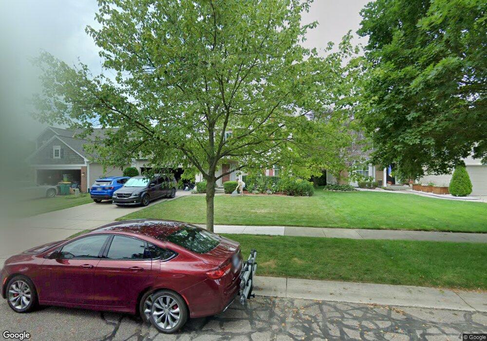
This home is located at 1646 Brookside Ct, Wixom, MI 48393 and is currently estimated at $375,755, approximately $230 per square foot. 1646 Brookside Ct is a home located in Oakland County with nearby schools including Wixom Elementary School, Sarah G. Banks Middle School, and Walled Lake Western High School.
Ownership History
Date
Name
Owned For
Owner Type
Purchase Details
Closed on
Jul 18, 2008
Sold by
Caillouette Gregory J and Caillouette Janet L
Bought by
Caillouette Gregory J and Caillouette Janet L
Current Estimated Value
Home Financials for this Owner
Home Financials are based on the most recent Mortgage that was taken out on this home.
Original Mortgage
$139,704
Outstanding Balance
$90,280
Interest Rate
6.36%
Mortgage Type
New Conventional
Estimated Equity
$285,475
Purchase Details
Closed on
Aug 23, 1996
Sold by
Norton Creek
Bought by
Key Norton
Create a Home Valuation Report for This Property
The Home Valuation Report is an in-depth analysis detailing your home's value as well as a comparison with similar homes in the area
Home Values in the Area
Average Home Value in this Area
Purchase History
| Date | Buyer | Sale Price | Title Company |
|---|---|---|---|
| Caillouette Gregory J | -- | Fidelity Natl Title Ins Co | |
| Key Norton | -- | -- |
Source: Public Records
Mortgage History
| Date | Status | Borrower | Loan Amount |
|---|---|---|---|
| Open | Caillouette Gregory J | $139,704 |
Source: Public Records
Tax History
| Year | Tax Paid | Tax Assessment Tax Assessment Total Assessment is a certain percentage of the fair market value that is determined by local assessors to be the total taxable value of land and additions on the property. | Land | Improvement |
|---|---|---|---|---|
| 2025 | $3,575 | $158,340 | $0 | $0 |
| 2024 | $3,369 | $148,710 | $0 | $0 |
| 2023 | $3,193 | $139,220 | $0 | $0 |
| 2022 | $3,204 | $120,390 | $0 | $0 |
| 2021 | $3,183 | $118,760 | $0 | $0 |
| 2020 | $3,075 | $112,200 | $0 | $0 |
| 2019 | $3,195 | $108,160 | $0 | $0 |
| 2018 | $3,241 | $107,130 | $0 | $0 |
| 2017 | $3,200 | $105,470 | $0 | $0 |
| 2016 | $3,187 | $97,220 | $0 | $0 |
| 2015 | -- | $90,480 | $0 | $0 |
| 2014 | -- | $80,010 | $0 | $0 |
| 2011 | -- | $80,830 | $0 | $0 |
Source: Public Records
Map
Nearby Homes
- 1432 Pond View Ct
- 1470 Nightingale
- 1369 Flamingo
- 3596 Barberry Cir
- 3712 Summit Ct
- 1999 Windingway Dr
- 3202 Roma Ct
- 1709 Weyhill Dr
- 3201 Roma Ct
- 2958 Blue Heron Ln
- 2218 King St Unit 281
- 2210 King St Unit 279
- 773 Red Maple Ln
- 2248 Hall Ln Unit 395
- 2231 Evergreen St Unit 269
- 2314 Brigantine
- 285 Meadows Cir S Unit 285
- 3584 W Maple Rd
- 2759 Maple Forest Dr Unit 84
- 802 Red Maple Ln
- 1634 Brookside Ct
- 1658 Brookside Ct
- 1622 Brookside Ct
- 1504 Pond View Dr
- 1480 Pond View Dr
- 1616 Brookside Ct
- 1516 Pond View Dr
- 1643 Brookside Ct
- 1604 Brookside Ct
- 1631 Brookside Ct
- 1468 Pond View Dr
- 1495 Pond View Dr
- 1489 Pond View Dr
- 1528 Pond View Dr
- 1615 Brookside Ct
- 1483 Pond View Dr
- 1507 Pond View Dr
- 1456 Pond View Dr
- 1477 Pond View Dr
- 1540 Pond View Dr
Your Personal Tour Guide
Ask me questions while you tour the home.