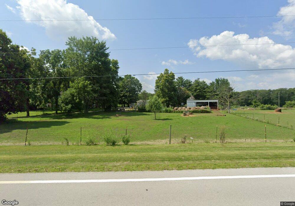
16469 State Route 67 Forest, OH 45843
Estimated Value: $188,000
5
Beds
2
Baths
2,504
Sq Ft
$75/Sq Ft
Est. Value
About This Home
This home is located at 16469 State Route 67, Forest, OH 45843 and is currently estimated at $188,000, approximately $75 per square foot. 16469 State Route 67 is a home located in Wyandot County with nearby schools including Upper Sandusky High School.
Ownership History
Date
Name
Owned For
Owner Type
Purchase Details
Closed on
Mar 18, 2016
Current Estimated Value
Home Financials for this Owner
Home Financials are based on the most recent Mortgage that was taken out on this home.
Interest Rate
3.73%
Purchase Details
Closed on
Oct 11, 2002
Bought by
Hackim Richard A
Create a Home Valuation Report for This Property
The Home Valuation Report is an in-depth analysis detailing your home's value as well as a comparison with similar homes in the area
Home Values in the Area
Average Home Value in this Area
Purchase History
| Date | Buyer | Sale Price | Title Company |
|---|---|---|---|
| -- | -- | -- | |
| Hackim Richard A | $510,500 | -- | |
| Hackim Richard A | $510,500 | -- |
Source: Public Records
Mortgage History
| Date | Status | Borrower | Loan Amount |
|---|---|---|---|
| Closed | -- | -- |
Source: Public Records
Tax History Compared to Growth
Tax History
| Year | Tax Paid | Tax Assessment Tax Assessment Total Assessment is a certain percentage of the fair market value that is determined by local assessors to be the total taxable value of land and additions on the property. | Land | Improvement |
|---|---|---|---|---|
| 2025 | $807 | $73,600 | $11,210 | $62,390 |
| 2024 | $807 | $44,600 | $10,400 | $34,200 |
| 2023 | $1,438 | $43,840 | $10,400 | $33,440 |
| 2022 | $1,438 | $40,450 | $9,940 | $30,510 |
| 2021 | $1,392 | $40,450 | $9,940 | $30,510 |
| 2020 | $1,391 | $40,450 | $9,940 | $30,510 |
| 2019 | $1,388 | $40,450 | $9,940 | $30,510 |
| 2018 | $1,082 | $32,420 | $8,850 | $23,570 |
| 2017 | $1,099 | $29,830 | $6,260 | $23,570 |
| 2016 | -- | $29,830 | $6,260 | $23,570 |
| 2015 | -- | $29,500 | $5,930 | $23,570 |
| 2014 | -- | $29,500 | $5,930 | $23,570 |
| 2013 | -- | $29,500 | $5,930 | $23,570 |
Source: Public Records
Map
Nearby Homes
- 18205 County Highway 96
- 23385 Township Road 126
- 0 Ohio 309
- 16190 Township Highway 97
- 15418 Ohio 37
- 18322 State Route 67
- 3132 Decliff Rd N
- 3096 Decliff Rd N
- 0 Osbun Rd Unit Lot 27 225032274
- 00 Osbun Rd Unit Lot 6
- 21485 Elevator St
- 0 Cr 215 Unit 11594771
- 0 Cr 215 Unit 11594600
- 0 Cr 215 Unit 25370311
- 0 Cr 215 Unit 11598074
- 3065 County Road 205
- 0 S Patterson St
- 412 S Patterson St
- 0 S Davis St
- 412 E Lima St