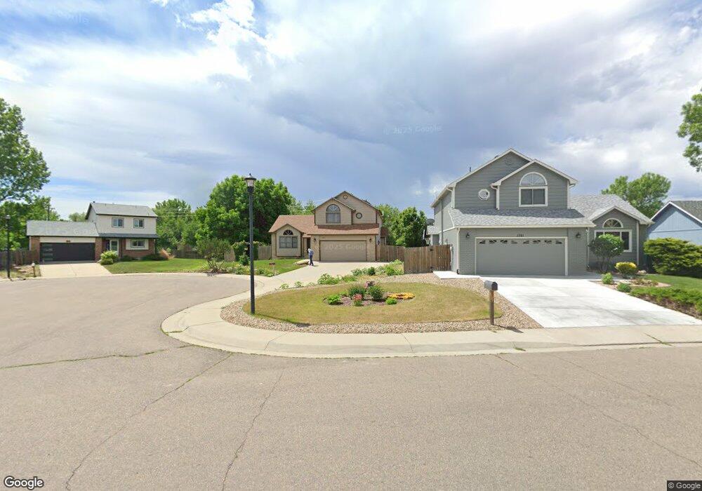
1647 Foster Dr Longmont, CO 80501
Southmoor NeighborhoodEstimated Value: $566,497 - $628,000
3
Beds
3
Baths
1,851
Sq Ft
$328/Sq Ft
Est. Value
About This Home
This home is located at 1647 Foster Dr, Longmont, CO 80501 and is currently estimated at $606,874, approximately $327 per square foot. 1647 Foster Dr is a home located in Boulder County with nearby schools including Indian Peaks Elementary School, Sunset Middle School, and Niwot High School.
Ownership History
Date
Name
Owned For
Owner Type
Purchase Details
Closed on
Apr 30, 2015
Sold by
Gonzales Clay D and Gonzales Terri L
Bought by
Hensley Jimmy W
Current Estimated Value
Home Financials for this Owner
Home Financials are based on the most recent Mortgage that was taken out on this home.
Original Mortgage
$320,126
Outstanding Balance
$248,037
Interest Rate
3.84%
Mortgage Type
VA
Estimated Equity
$358,837
Purchase Details
Closed on
Sep 11, 2001
Sold by
Gonzales Clay D and Gonzales Terri I
Bought by
Gonzales Clay D
Home Financials for this Owner
Home Financials are based on the most recent Mortgage that was taken out on this home.
Original Mortgage
$106,600
Interest Rate
6.88%
Purchase Details
Closed on
Jun 10, 1993
Bought by
Hensley Jimmy W
Purchase Details
Closed on
Aug 12, 1991
Bought by
Hensley Jimmy W
Purchase Details
Closed on
Mar 19, 1991
Bought by
Hensley Jimmy W
Create a Home Valuation Report for This Property
The Home Valuation Report is an in-depth analysis detailing your home's value as well as a comparison with similar homes in the area
Home Values in the Area
Average Home Value in this Area
Purchase History
| Date | Buyer | Sale Price | Title Company |
|---|---|---|---|
| Hensley Jimmy W | $309,900 | Fidelity National Title Ins | |
| Gonzales Clay D | -- | Stewart Title | |
| Hensley Jimmy W | $128,000 | -- | |
| Hensley Jimmy W | -- | -- | |
| Hensley Jimmy W | $75,300 | -- |
Source: Public Records
Mortgage History
| Date | Status | Borrower | Loan Amount |
|---|---|---|---|
| Open | Hensley Jimmy W | $320,126 | |
| Previous Owner | Gonzales Clay D | $106,600 |
Source: Public Records
Tax History Compared to Growth
Tax History
| Year | Tax Paid | Tax Assessment Tax Assessment Total Assessment is a certain percentage of the fair market value that is determined by local assessors to be the total taxable value of land and additions on the property. | Land | Improvement |
|---|---|---|---|---|
| 2025 | $3,373 | $35,701 | $10,713 | $24,988 |
| 2024 | $3,373 | $35,701 | $10,713 | $24,988 |
| 2023 | $3,327 | $35,262 | $13,474 | $25,473 |
| 2022 | $2,897 | $29,280 | $9,542 | $19,738 |
| 2021 | $2,935 | $30,123 | $9,817 | $20,306 |
| 2020 | $2,767 | $28,486 | $8,080 | $20,406 |
| 2019 | $2,723 | $28,486 | $8,080 | $20,406 |
| 2018 | $2,211 | $23,278 | $5,472 | $17,806 |
| 2017 | $2,181 | $25,735 | $6,050 | $19,685 |
| 2016 | $1,949 | $20,394 | $5,413 | $14,981 |
| 2015 | $1,858 | $17,210 | $4,856 | $12,354 |
| 2014 | -- | $17,210 | $4,856 | $12,354 |
Source: Public Records
Map
Nearby Homes
- 1527 S Vivian St
- 1435 Missouri Ave
- 1327 Brookfield Dr
- 2215 Parkview Dr
- 1321 Onyx Cir
- 1801 S Pratt Pkwy
- 1350 S Lincoln St
- 2240 Summitview Dr
- 2119 Onyx Way
- 2284 Indian Peaks Cir
- 2237 Eagleview Way
- 2030 Emerald Dr
- 2111 River Walk Ln
- 2050 Emerald Dr
- 1435 Ashcroft Dr
- 1028 Katy Ln
- 2443 Mallard Cir
- 1456 Sepia Ave
- 1518 Sepia Ave
- 919 S Sherman St
- 1701 Foster Dr
- 1643 Foster Dr
- 1707 Foster Dr
- 1639 Foster Dr
- 1635 Foster Dr
- 1713 Foster Dr
- 1647 S Vivian St
- 1642 Foster Dr
- 1631 Foster Dr
- 1706 Foster Dr
- 1639 S Vivian St
- 1717 Foster Dr
- 1651 S Vivian St
- 1720 Foster Dr
- 1633 S Vivian St
- 1625 Foster Dr
- 1627 S Vivian St
- 1742 Foster Dr
- 1721 Foster Dr
- 1648 S Vivian St