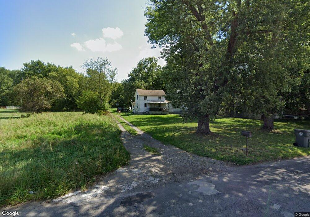
1647 Lansdowne Blvd Youngstown, OH 44505
Landsdowne NeighborhoodEstimated Value: $51,743 - $65,000
3
Beds
1
Bath
1,134
Sq Ft
$51/Sq Ft
Est. Value
About This Home
This home is located at 1647 Lansdowne Blvd, Youngstown, OH 44505 and is currently estimated at $58,186, approximately $51 per square foot. 1647 Lansdowne Blvd is a home located in Mahoning County with nearby schools including M.L. King Elementary School, Williamson Elementary School, and East High School.
Ownership History
Date
Name
Owned For
Owner Type
Purchase Details
Closed on
Feb 12, 2021
Sold by
Broughan Brenda
Bought by
Doolan William Howard
Current Estimated Value
Purchase Details
Closed on
Aug 29, 2012
Sold by
Schulte Albert C
Bought by
Brougham Brenda
Purchase Details
Closed on
Oct 18, 2004
Sold by
Pinchot Robert J
Bought by
Clark David
Purchase Details
Closed on
Apr 13, 2001
Sold by
Pinchot Mary Ellen
Bought by
Pinchot Robert
Purchase Details
Closed on
May 28, 1993
Bought by
Shropshire Ernest
Create a Home Valuation Report for This Property
The Home Valuation Report is an in-depth analysis detailing your home's value as well as a comparison with similar homes in the area
Home Values in the Area
Average Home Value in this Area
Purchase History
| Date | Buyer | Sale Price | Title Company |
|---|---|---|---|
| Doolan William Howard | -- | None Available | |
| Brougham Brenda | $30,000 | Attorney | |
| Clark David | $8,000 | -- | |
| Pinchot Robert | -- | -- | |
| Shropshire Ernest | -- | -- |
Source: Public Records
Tax History
| Year | Tax Paid | Tax Assessment Tax Assessment Total Assessment is a certain percentage of the fair market value that is determined by local assessors to be the total taxable value of land and additions on the property. | Land | Improvement |
|---|---|---|---|---|
| 2025 | $151 | $3,530 | $740 | $2,790 |
| 2024 | $171 | $3,530 | $740 | $2,790 |
| 2023 | $169 | $3,530 | $740 | $2,790 |
| 2022 | $156 | $2,500 | $690 | $1,810 |
| 2021 | $3 | $2,500 | $690 | $1,810 |
| 2020 | $3 | $2,500 | $690 | $1,810 |
| 2019 | $6 | $2,320 | $640 | $1,680 |
| 2018 | $7 | $2,320 | $640 | $1,680 |
| 2017 | $168 | $2,320 | $640 | $1,680 |
| 2016 | $173 | $2,570 | $640 | $1,930 |
| 2015 | $178 | $2,570 | $640 | $1,930 |
| 2014 | -- | $2,570 | $640 | $1,930 |
| 2013 | $166 | $2,570 | $640 | $1,930 |
Source: Public Records
Map
Nearby Homes
- 1538 Republic Ave
- 2508 Applegate Rd
- 0 Homestead Rd
- 1125 N Garland Ave
- 575 Woodside Ave
- 1003 Liberty Rd
- 598 Cassius Ave
- 21 Zents Ave Unit 29
- 2407 Trussit Ave
- 41 Roslyn Dr
- 2849 McGuffey Rd
- 1720 Jacobs Rd
- 127 Roslyn Dr
- 156 Halleck St
- 332 Lansdowne Blvd
- 1214 Brighton St
- 2417-2419 Elm St
- 216 Lora Ave
- 1442-1446 Ohio Ave
- 227 Lora Ave
- 1643 Lansdowne Blvd
- 1703 Lansdowne Blvd
- 1631 Lansdowne Blvd
- 1634 Lansdowne Blvd
- 1638 Lansdowne Blvd
- 1630 Lansdowne Blvd
- 1646 Lansdowne Blvd
- 1626 Lansdowne Blvd
- 1622 Lansdowne Blvd
- 1615 Lansdowne Blvd
- 1721 Lansdowne Blvd
- 1707 Lansdowne Blvd
- 1618 Lansdowne Blvd
- 1702 Lansdowne Blvd
- 1729 Lansdowne Blvd
- 1614 Lansdowne Blvd
- 1706 Lansdowne Blvd
- 1639 Forest View Dr
- 1631 Forest View Dr
- 1610 Lansdowne Blvd
Your Personal Tour Guide
Ask me questions while you tour the home.