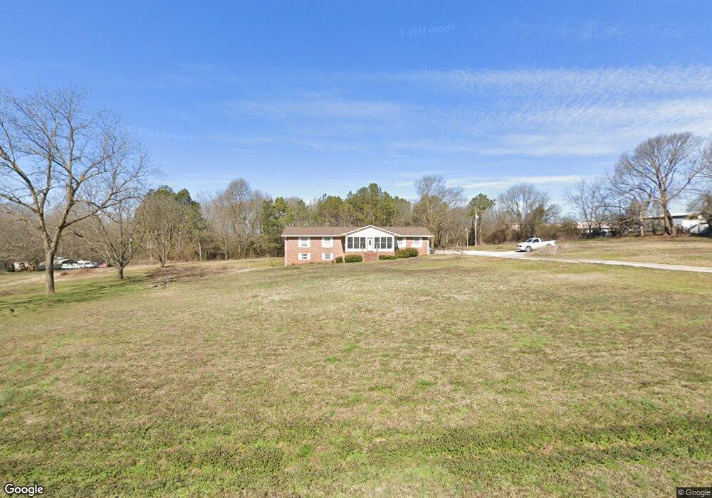
1647 Norman Dove Rd Royston, GA 30662
Estimated Value: $297,000 - $402,000
3
Beds
2
Baths
2,472
Sq Ft
$137/Sq Ft
Est. Value
About This Home
This home is located at 1647 Norman Dove Rd, Royston, GA 30662 and is currently estimated at $338,333, approximately $136 per square foot. 1647 Norman Dove Rd is a home located in Madison County with nearby schools including Madison County High School.
Ownership History
Date
Name
Owned For
Owner Type
Purchase Details
Closed on
Nov 9, 2017
Sold by
Fleeman Phyllis Mize
Bought by
Bennett Joseph I and Bennett Denise E
Current Estimated Value
Home Financials for this Owner
Home Financials are based on the most recent Mortgage that was taken out on this home.
Original Mortgage
$116,910
Outstanding Balance
$64,373
Interest Rate
3.91%
Mortgage Type
New Conventional
Estimated Equity
$273,960
Purchase Details
Closed on
Jan 19, 2007
Sold by
Not Provided
Bought by
Fleeman Phyllis Mize
Purchase Details
Closed on
Jun 1, 1997
Purchase Details
Closed on
Nov 1, 1982
Create a Home Valuation Report for This Property
The Home Valuation Report is an in-depth analysis detailing your home's value as well as a comparison with similar homes in the area
Home Values in the Area
Average Home Value in this Area
Purchase History
| Date | Buyer | Sale Price | Title Company |
|---|---|---|---|
| Bennett Joseph I | $129,900 | -- | |
| Fleeman Phyllis Mize | -- | -- | |
| Fleeman Gregory A | -- | -- | |
| -- | $87,500 | -- | |
| -- | -- | -- |
Source: Public Records
Mortgage History
| Date | Status | Borrower | Loan Amount |
|---|---|---|---|
| Open | Bennett Joseph I | $116,910 |
Source: Public Records
Tax History Compared to Growth
Tax History
| Year | Tax Paid | Tax Assessment Tax Assessment Total Assessment is a certain percentage of the fair market value that is determined by local assessors to be the total taxable value of land and additions on the property. | Land | Improvement |
|---|---|---|---|---|
| 2024 | $1,307 | $86,602 | $22,752 | $63,850 |
| 2023 | $1,198 | $71,935 | $15,872 | $56,063 |
| 2022 | $1,079 | $64,819 | $15,560 | $49,259 |
| 2021 | $1,022 | $55,122 | $9,760 | $45,362 |
| 2020 | $1,028 | $53,062 | $9,496 | $43,566 |
| 2019 | $1,001 | $51,208 | $9,496 | $41,712 |
| 2018 | $1,027 | $52,646 | $9,496 | $43,150 |
| 2017 | $839 | $52,190 | $9,496 | $42,694 |
| 2016 | $820 | $49,954 | $6,752 | $43,202 |
| 2015 | $968 | $51,741 | $8,752 | $42,989 |
| 2014 | $907 | $47,653 | $5,424 | $42,229 |
| 2013 | -- | $48,271 | $5,424 | $42,847 |
Source: Public Records
Map
Nearby Homes
- 384 Freedom Church Rd
- 233 Duncan Rd
- 2695 Wildcat Bridge Rd
- 2246 Wildcat Bridge Rd
- 3657 Wildcat Bridge Rd
- 397 Reed Brawner Rd
- 3322 Cheek Pulliam Rd
- 40 Burch St
- 4059 Wildcat Bridge Rd
- 464 Church St
- 406 Abc Farm Rd
- 0 Wildcat Bridge Rd Unit 23872265
- 0 Wildcat Bridge Rd Unit 10544672
- 527 Daniel St
- 256 Adams Place Rd
- 121 Cook St
- 231 Bowers St
- 70 Bowers St
- 240 Bowers St
- 1398 Vanna Rd
- 1611 Norman Dove Rd
- 1535 Norman Dove Rd
- 768 Freedom Church Rd
- 1580 Norman Dove Rd
- 1453 Norman Dove Rd
- 42 Pullian Ln
- 153 Pullian Ln
- 500 Freedom Church Rd
- 488 Freedom Church Rd
- 0 Pullian Ln
- 1309 Norman Dove Rd
- 1325 Freedom Church Rd
- 876 Duncan Rd
- 355 Freedom Church Rd
- 417 Pullian Ln
- 232 Freedom Church Rd
- 1215 Rousey Duncan Rd
- 1050 Norman Dove Rd
- 1171 Rousey Duncan Rd
- 434 Duncan Rd