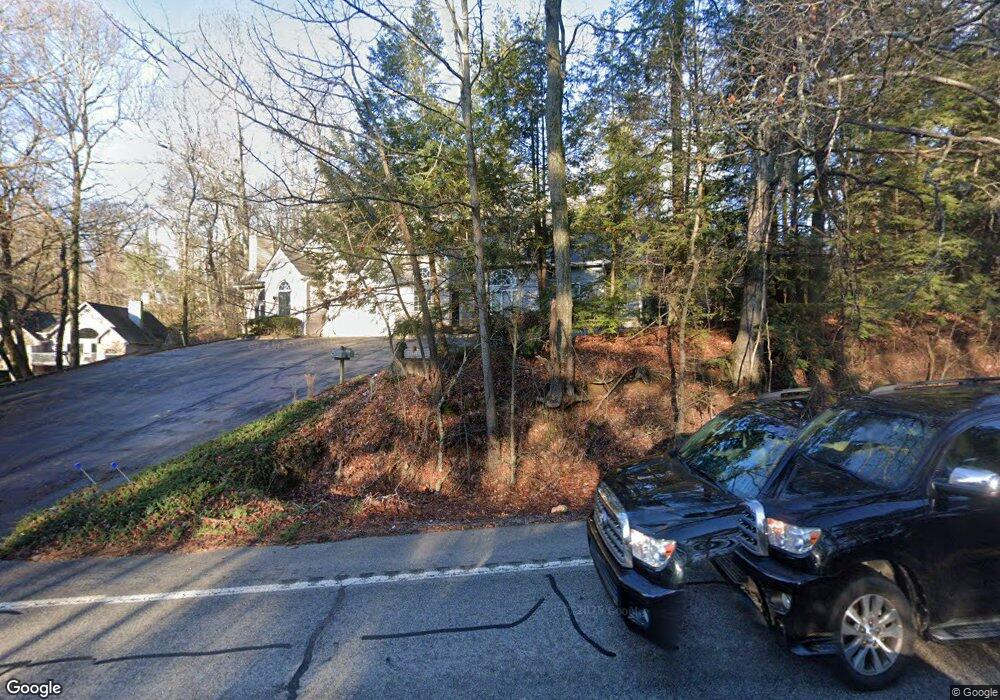
1647 Taft Hwy Unit 1647 Signal Mountain, TN 37377
Estimated Value: $429,819 - $471,000
3
Beds
3
Baths
2,806
Sq Ft
$161/Sq Ft
Est. Value
About This Home
This home is located at 1647 Taft Hwy Unit 1647, Signal Mountain, TN 37377 and is currently estimated at $450,455, approximately $160 per square foot. 1647 Taft Hwy Unit 1647 is a home located in Hamilton County with nearby schools including Thrasher Elementary School, Signal Mountain Middle/High School, and Signal Mountain Christian School.
Ownership History
Date
Name
Owned For
Owner Type
Purchase Details
Closed on
Nov 29, 2010
Sold by
Tillman Larry J
Bought by
Hereford Robert Earl and Hereford Harriette S
Current Estimated Value
Home Financials for this Owner
Home Financials are based on the most recent Mortgage that was taken out on this home.
Original Mortgage
$85,000
Outstanding Balance
$56,101
Interest Rate
4.2%
Mortgage Type
New Conventional
Estimated Equity
$394,354
Purchase Details
Closed on
Sep 30, 1999
Sold by
Lapore Gretchen
Bought by
Tillman Larry J and Tillman Marianna B
Home Financials for this Owner
Home Financials are based on the most recent Mortgage that was taken out on this home.
Original Mortgage
$121,200
Interest Rate
7.37%
Create a Home Valuation Report for This Property
The Home Valuation Report is an in-depth analysis detailing your home's value as well as a comparison with similar homes in the area
Home Values in the Area
Average Home Value in this Area
Purchase History
| Date | Buyer | Sale Price | Title Company |
|---|---|---|---|
| Hereford Robert Earl | $220,000 | None Available | |
| Tillman Larry J | $151,500 | -- |
Source: Public Records
Mortgage History
| Date | Status | Borrower | Loan Amount |
|---|---|---|---|
| Open | Hereford Robert Earl | $85,000 | |
| Previous Owner | Tillman Larry J | $121,200 |
Source: Public Records
Tax History Compared to Growth
Tax History
| Year | Tax Paid | Tax Assessment Tax Assessment Total Assessment is a certain percentage of the fair market value that is determined by local assessors to be the total taxable value of land and additions on the property. | Land | Improvement |
|---|---|---|---|---|
| 2024 | $1,536 | $68,650 | $0 | $0 |
| 2023 | $1,536 | $68,650 | $0 | $0 |
| 2022 | $1,536 | $68,650 | $0 | $0 |
| 2021 | $1,536 | $68,650 | $0 | $0 |
| 2020 | $1,526 | $55,200 | $0 | $0 |
| 2019 | $1,526 | $55,200 | $0 | $0 |
| 2018 | $1,526 | $55,200 | $0 | $0 |
| 2017 | $1,526 | $55,200 | $0 | $0 |
| 2016 | $1,521 | $0 | $0 | $0 |
| 2015 | $1,521 | $55,000 | $0 | $0 |
| 2014 | $1,521 | $0 | $0 | $0 |
Source: Public Records
Map
Nearby Homes
- 1702 James Blvd
- 3612 Taft Hwy
- 837 Skyline Park Dr
- 848 Skyline Park Dr
- 0 Skyline Park Dr Unit 1525124
- 714 Berry Spring Path
- 10 Acres Majestic Oaks Dr
- 10 Majestic Oaks Dr
- 0 Majestic Oaks Dr Unit 24033570
- 12 Mountain Orchard Path
- 11 Saint Nicholas Way
- 25 Ridgerock Dr
- 1713 Timesville Rd
- 5734 U S 127
- 3002 Wilson Ave
- 1305 E Brow Rd
- 1301 E Brow Rd
- 185 Woodcliff Cir
- 2598 Bristlecone Ln
- 2929 Battles Way
- 1645 Taft Hwy Unit 1645
- 1712 James Blvd
- 1637 Taft Hwy Unit 3
- 1633 Taft Hwy
- 1633 Taft Hwy Unit 1633
- 1629 Taft Hwy Unit 1629
- 1631 Taft Hwy
- 1635 Taft Hwy
- 36043608 Taft Hwy
- 1707 James Blvd
- 1711 James Blvd
- 1627 Taft Hwy Unit 1627
- 1623 Taft Hwy Unit 1623
- 1621 Taft Hwy Unit 1621
- 1619 Taft Hwy Unit 1619
- 1617 Taft Hwy
- 1705 James Blvd
- 1717 James Blvd
- 1703 James Blvd
- 806 Murrell Rd