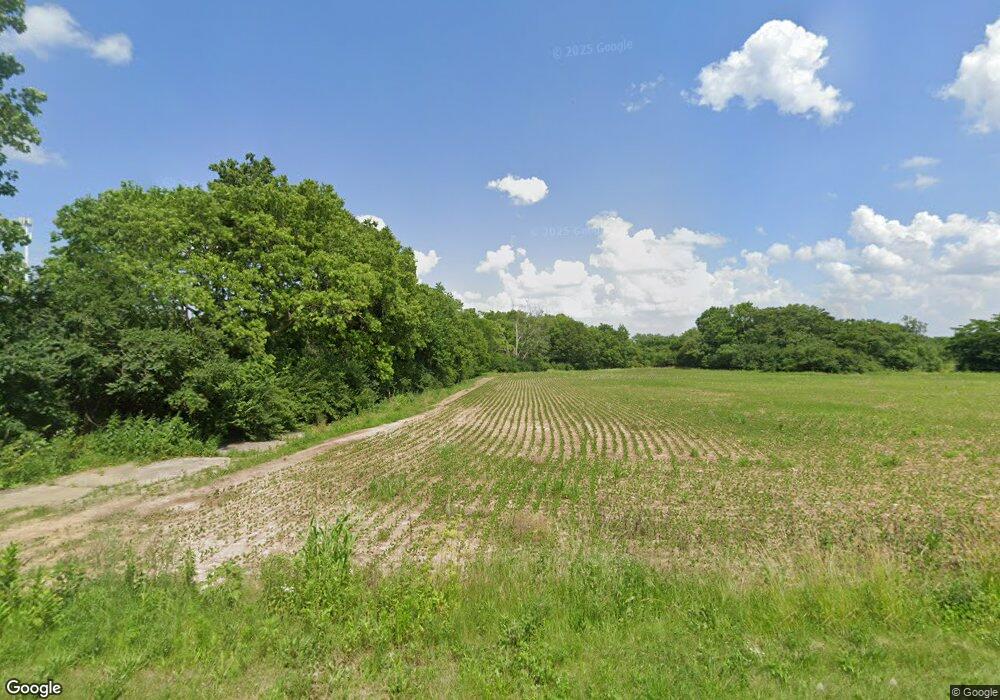
1648 N Union Rd Dayton, OH 45417
Estimated Value: $397,000 - $514,717
3
Beds
1
Bath
2,400
Sq Ft
$190/Sq Ft
Est. Value
About This Home
This home is located at 1648 N Union Rd, Dayton, OH 45417 and is currently estimated at $455,859, approximately $189 per square foot. 1648 N Union Rd is a home located in Montgomery County with nearby schools including Trotwood-Madison Middle School, Trotwood-Madison High School, and Trotwood Preparatory & Fitness Academy.
Ownership History
Date
Name
Owned For
Owner Type
Purchase Details
Closed on
Sep 25, 2013
Sold by
The Mike Kilroy Corp
Bought by
Mike Kilroy Llc
Current Estimated Value
Purchase Details
Closed on
Jun 3, 2010
Sold by
Pettit Industrial Connector Ltd
Bought by
The Mike Kilroy Corporation
Purchase Details
Closed on
Oct 4, 1996
Sold by
Schuler Dan Edward and Williamson Floyd Quincy
Bought by
Pettit Industrial Connector Ltd
Purchase Details
Closed on
Jul 15, 1994
Sold by
Thomas Frederick J
Bought by
Hutsonpillar Richard L
Create a Home Valuation Report for This Property
The Home Valuation Report is an in-depth analysis detailing your home's value as well as a comparison with similar homes in the area
Home Values in the Area
Average Home Value in this Area
Purchase History
| Date | Buyer | Sale Price | Title Company |
|---|---|---|---|
| Mike Kilroy Llc | $208,000 | None Available | |
| The Mike Kilroy Corporation | $214,000 | Attorney | |
| Pettit Industrial Connector Ltd | $220,000 | -- | |
| Hutsonpillar Richard L | -- | -- |
Source: Public Records
Tax History Compared to Growth
Tax History
| Year | Tax Paid | Tax Assessment Tax Assessment Total Assessment is a certain percentage of the fair market value that is determined by local assessors to be the total taxable value of land and additions on the property. | Land | Improvement |
|---|---|---|---|---|
| 2024 | $2,504 | $40,812 | $38,392 | $2,420 |
| 2023 | $2,504 | $40,812 | $38,392 | $2,420 |
| 2022 | $1,385 | $17,580 | $15,790 | $1,790 |
| 2021 | $1,285 | $16,210 | $15,790 | $420 |
| 2020 | $1,284 | $16,210 | $15,790 | $420 |
| 2019 | $2,468 | $28,970 | $28,970 | $0 |
| 2018 | $2,472 | $28,970 | $28,970 | $0 |
| 2017 | $2,457 | $28,970 | $28,970 | $0 |
| 2016 | $3,734 | $44,720 | $44,720 | $0 |
| 2015 | $3,665 | $44,720 | $44,720 | $0 |
| 2014 | $3,665 | $44,720 | $44,720 | $0 |
| 2012 | -- | $16,880 | $16,880 | $0 |
Source: Public Records
Map
Nearby Homes
- 0 Little Richmond Rd
- 6899 Little Richmond Rd
- 7534 Little Richmond Rd
- 1500 N Snyder Rd
- 316 Skinner Dr
- 5328 Whaley Dr
- 6236 Carmin Ave
- 33 Mario Dr
- 0 Meeker Woods Unit 884863
- 175 N Northampton Ave
- 0 Northwest Pkwy
- 17 Grand Ave
- 5116 Rucks Rd
- 204 E Main St
- 764 Miller Ave
- 51 N Northampton Ave
- 4 Pleasant Ave
- 0 Main
- 209 W Main St
- 201 Parsons Ave
- 1595 N Union Rd
- 1571 N Union Rd
- 1529 N Union Rd
- 1777 N Union Rd
- 1783 N Union Rd
- 1467 N Union Rd
- 1415 N Union Rd
- 6840 Little Richmond Rd
- 1857 N Union Rd
- 1857 N Union Rd
- 1869 N Union Rd
- 1250 N Union Rd
- 6730 Little Richmond Rd
- 1947 N Union Rd
- 6770 Little Richmond Rd
- 6750 Little Richmond Rd
- 6598 Little Richmond Rd
- 6789 Little Richmond Rd
- 6797 Little Richmond Rd
- 6781 Little Richmond Rd
