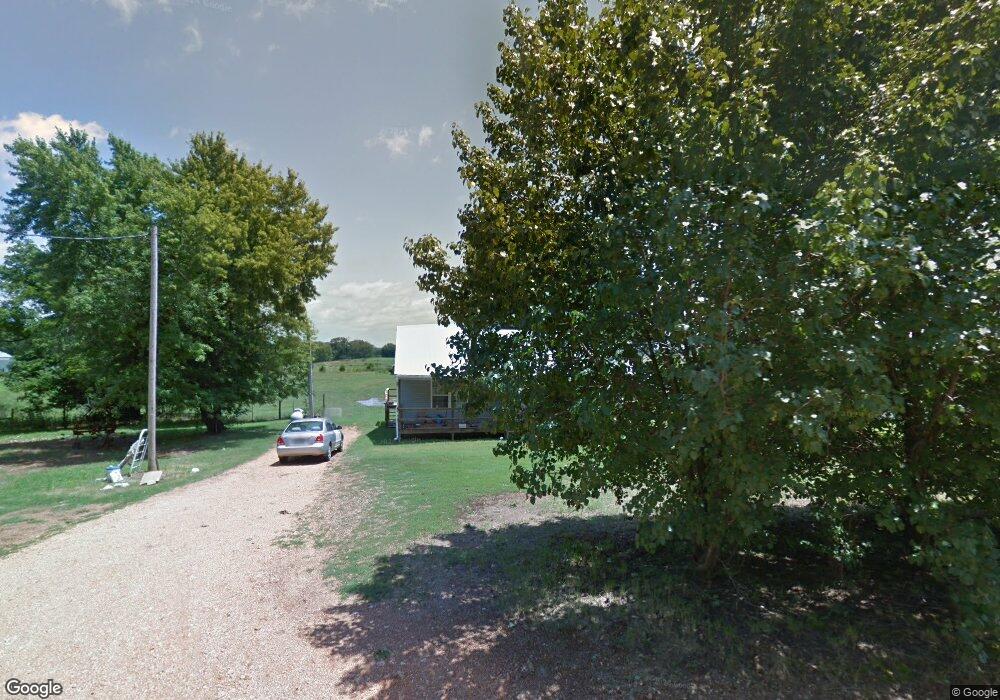
16486 Don McAllister Rd Pea Ridge, AR 72751
Estimated Value: $282,000 - $561,000
--
Bed
1
Bath
988
Sq Ft
$416/Sq Ft
Est. Value
About This Home
This home is located at 16486 Don McAllister Rd, Pea Ridge, AR 72751 and is currently estimated at $411,040, approximately $416 per square foot. 16486 Don McAllister Rd is a home located in Benton County with nearby schools including Pea Ridge Primary School, Pea Ridge Intermediate School, and Pea Ridge Junior High School.
Ownership History
Date
Name
Owned For
Owner Type
Purchase Details
Closed on
Mar 9, 2022
Sold by
Dixie Lenna Taylor Trust
Bought by
Taylor Lester Ray
Current Estimated Value
Purchase Details
Closed on
Jul 17, 2014
Sold by
Taylor Dixie Lenna
Bought by
Taylor Dixie Lenna
Purchase Details
Closed on
Apr 25, 1973
Bought by
Taylor
Create a Home Valuation Report for This Property
The Home Valuation Report is an in-depth analysis detailing your home's value as well as a comparison with similar homes in the area
Home Values in the Area
Average Home Value in this Area
Purchase History
| Date | Buyer | Sale Price | Title Company |
|---|---|---|---|
| Taylor Lester Ray | -- | Brian L Campbell Law Firm Pllc | |
| Taylor Dixie Lenna | -- | None Available | |
| Taylor | -- | -- |
Source: Public Records
Tax History Compared to Growth
Tax History
| Year | Tax Paid | Tax Assessment Tax Assessment Total Assessment is a certain percentage of the fair market value that is determined by local assessors to be the total taxable value of land and additions on the property. | Land | Improvement |
|---|---|---|---|---|
| 2025 | $841 | $59,812 | $39,780 | $20,032 |
| 2024 | $802 | $59,812 | $39,780 | $20,032 |
| 2023 | $764 | $40,560 | $25,190 | $15,370 |
| 2022 | $388 | $40,560 | $25,190 | $15,370 |
| 2021 | $386 | $40,560 | $25,190 | $15,370 |
| 2020 | $407 | $21,480 | $9,940 | $11,540 |
| 2019 | $407 | $21,480 | $9,940 | $11,540 |
| 2018 | $432 | $21,480 | $9,940 | $11,540 |
| 2017 | $378 | $21,480 | $9,940 | $11,540 |
| 2016 | $378 | $21,480 | $9,940 | $11,540 |
| 2015 | $728 | $14,020 | $5,970 | $8,050 |
| 2014 | $409 | $14,630 | $5,970 | $8,660 |
Source: Public Records
Map
Nearby Homes
- 10890 Gates Ln
- 2720 Murphy St
- 20.74 Acres N Highway 94
- 8.23 AC N Highway 94
- 2741 Biddie St
- RC Carnegie II Plan at Walnut Hill
- RC Coleman Plan at Walnut Hill
- RC Glenwood Plan at Walnut Hill
- RC Foster II Plan at Walnut Hill
- 2733 Biddie St
- 2809 Bass St
- 2745 Biddie St
- RC Clark Plan at Walnut Hill
- RC Wright Plan at Walnut Hill
- 2737 Biddie St
- RC Bennet Plan at Walnut Hill
- 2749 Biddie St
- 2825 Evans St
- 2701 Kane St
- RC Hartford Plan at Walnut Hill
- 16438 Don McAllister Rd
- 16378 Don McAllister Rd
- 16375 Don McAllister Rd
- 10883 Gates Ln
- 10990 Gates Ln
- 16694 Don McAllister Rd
- 16697 Don McAllister Rd
- 16697 Don McAllister Rd
- 16673 Don McAllister Rd
- 11000 Gates Ln
- 16287 Eddie Bone Rd
- 16382 N Highway 94
- 11010 Gates Ln
- 16815 Don McAllister Rd
- 16815 Don McAllister Rd
- 16585 Floyd Walker Rd
- 16496 Floyd Walker Rd
- 16552 White Oak Ridge Rd
- 16848 White Oak Ridge Rd
- 16097 N Highway 94