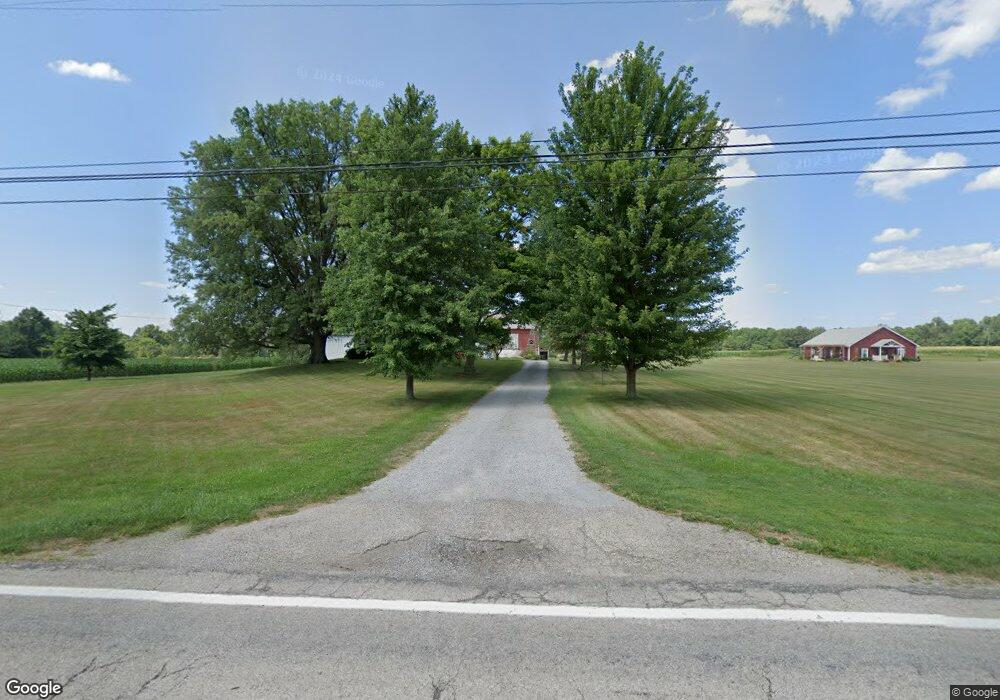
16488 S Range Rd Unit W Beloit, OH 44609
Estimated Value: $461,000
Studio
--
Bath
--
Sq Ft
3,105,915
Sq Ft Lot
About This Home
This home is located at 16488 S Range Rd Unit W, Beloit, OH 44609 and is currently estimated at $461,000. 16488 S Range Rd Unit W is a home located in Mahoning County with nearby schools including West Branch Middle School and West Branch High School.
Ownership History
Date
Name
Owned For
Owner Type
Purchase Details
Closed on
Apr 18, 2003
Sold by
J Trustee Santee Gordon R Trustee & Santee Do
Bought by
Elze James T and Elze Suzanne L
Current Estimated Value
Home Financials for this Owner
Home Financials are based on the most recent Mortgage that was taken out on this home.
Original Mortgage
$125,000
Interest Rate
6.02%
Mortgage Type
Purchase Money Mortgage
Purchase Details
Closed on
Nov 9, 2001
Sold by
Santee Gordon R and Santee Dorla J
Bought by
Santee Gordon R and Santee Dorla J
Create a Home Valuation Report for This Property
The Home Valuation Report is an in-depth analysis detailing your home's value as well as a comparison with similar homes in the area
Purchase History
| Date | Buyer | Sale Price | Title Company |
|---|---|---|---|
| Elze James T | $225,000 | -- | |
| Santee Gordon R | -- | -- |
Source: Public Records
Mortgage History
| Date | Status | Borrower | Loan Amount |
|---|---|---|---|
| Closed | Elze James T | $125,000 |
Source: Public Records
Tax History
| Year | Tax Paid | Tax Assessment Tax Assessment Total Assessment is a certain percentage of the fair market value that is determined by local assessors to be the total taxable value of land and additions on the property. | Land | Improvement |
|---|---|---|---|---|
| 2025 | $494 | $52,390 | $52,390 | -- |
| 2024 | $460 | $52,390 | $52,390 | -- |
| 2023 | $441 | $11,840 | $11,840 | $0 |
| 2022 | $290 | $41,490 | $41,490 | $0 |
| 2021 | $282 | $41,490 | $41,490 | $0 |
| 2020 | $283 | $41,490 | $41,490 | $0 |
| 2019 | $527 | $41,490 | $41,490 | $0 |
| 2018 | $525 | $41,490 | $41,490 | $0 |
| 2017 | $712 | $41,490 | $41,490 | $0 |
| 2016 | $898 | $36,250 | $36,250 | $0 |
| 2015 | $874 | $36,250 | $36,250 | $0 |
| 2014 | $878 | $36,250 | $36,250 | $0 |
| 2013 | $369 | $36,250 | $36,250 | $0 |
Source: Public Records
Map
Nearby Homes
- 15938 W South Range Rd
- 17325 5th St
- 18262 W Pine Lake Rd
- 18280 5th St
- 14355 W Middletown Rd
- 18061 Derr Ave
- 11 Redwood St
- 57 Redwood St
- 0 Diagonal Rd Unit 5185268
- 945 N 12th St
- 726 N 12th St
- 1005 N 13th St
- 14831 Smith Goshen Rd
- 345 E Indiana Ave
- 0 W Nevada Ave Unit 5181868
- 166 E Michigan Ave
- 125 E Indiana Ave
- 157 E Ohio Ave
- 175 W Ohio Ave
- 14965 Seacrist Rd
- 16485 W South Range Rd
- 16400 S Range Rd
- 16485 S Range Rd
- 16650 S Range Rd
- 12090 Malmsberry Rd
- 16708 S Range Rd
- 16721 S Range Rd
- 16792 S Range Rd
- 16139 S Range Rd Unit W
- 16122 S Range Rd
- 16014 S Range Rd
- 11957 Smith Goshen Rd
- 11889 Smith Goshen Rd
- 16099 Cleveland East Liverpool Rd
- 12011 S Pricetown Rd
- 12123 S Pricetown Rd
- 11837 S Pricetown Rd
- 12450 Malmsberry Rd
- 11837 State Route 534
- 11991 Smith Goshen Rd
Your Personal Tour Guide
Ask me questions while you tour the home.