1649 Oak Ln Waukon, IA 52172
Estimated Value: $309,000 - $405,000
4
Beds
4
Baths
1,400
Sq Ft
$259/Sq Ft
Est. Value
About This Home
This home is located at 1649 Oak Ln, Waukon, IA 52172 and is currently estimated at $362,016, approximately $258 per square foot. 1649 Oak Ln is a home located in Allamakee County with nearby schools including West Campus Elementary School, East Campus Elementary School, and Waukon Middle School.
Ownership History
Date
Name
Owned For
Owner Type
Purchase Details
Closed on
Mar 2, 2022
Sold by
Oneill Michelle F
Bought by
Sivesind Lars and Sivesind Melissa
Current Estimated Value
Home Financials for this Owner
Home Financials are based on the most recent Mortgage that was taken out on this home.
Original Mortgage
$250,000
Outstanding Balance
$201,744
Interest Rate
3.15%
Mortgage Type
New Conventional
Estimated Equity
$160,272
Create a Home Valuation Report for This Property
The Home Valuation Report is an in-depth analysis detailing your home's value as well as a comparison with similar homes in the area
Home Values in the Area
Average Home Value in this Area
Purchase History
| Date | Buyer | Sale Price | Title Company |
|---|---|---|---|
| Sivesind Lars | $315,000 | Oshea & Oshea Pc |
Source: Public Records
Mortgage History
| Date | Status | Borrower | Loan Amount |
|---|---|---|---|
| Open | Sivesind Lars | $250,000 |
Source: Public Records
Tax History Compared to Growth
Tax History
| Year | Tax Paid | Tax Assessment Tax Assessment Total Assessment is a certain percentage of the fair market value that is determined by local assessors to be the total taxable value of land and additions on the property. | Land | Improvement |
|---|---|---|---|---|
| 2025 | $3,178 | $318,900 | $42,500 | $276,400 |
| 2024 | $3,178 | $285,100 | $42,500 | $242,600 |
| 2023 | $3,024 | $285,100 | $42,500 | $242,600 |
| 2022 | $2,648 | $214,300 | $42,500 | $171,800 |
| 2021 | $2,478 | $214,300 | $42,500 | $171,800 |
| 2020 | $2,396 | $198,000 | $38,700 | $159,300 |
| 2019 | $2,346 | $185,400 | $0 | $0 |
| 2018 | $2,216 | $185,400 | $0 | $0 |
| 2017 | $2,216 | $169,600 | $0 | $0 |
| 2016 | $2,010 | $168,700 | $0 | $0 |
| 2015 | $2,010 | $168,700 | $0 | $0 |
| 2014 | $1,990 | $168,700 | $0 | $0 |
Source: Public Records
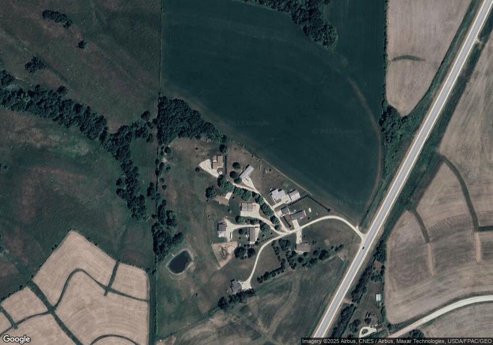
Map
Nearby Homes
- 103 11th Ave NW
- 821 4th St NW
- 820 4th St NW
- 602 2nd St NW
- 20 3rd Ave NE
- 315 4th Ave NW
- 430 9th St NW
- 0 Parcel Id#1031376005 Unit 20211907
- 0 Parcel Id#1031351004 Unit 20211906
- 0 Parcel Id#1031376012 Unit 20211905
- 0 Parcel Id#1031376013 Unit 20211902
- 0 Parcel Id#1031351006 Unit 20211900
- 0 Parcel Id#1031351007 Unit 20211899
- 0 Parcel Id#1506100051 Unit 20211897
- 607 W Main St
- 103 3rd Ave SW
- 605 1st Ave SW
- 303 5th St SW
- 525 4th St SE
- Allamakee Co. Ia Parcel Id#
- 1657 Oak Ln
- 1656 Oak Ln
- 1643 Oak Ln
- 1639 Oak Ln
- 1650 Oak Ln
- 1626 Oak Ln
- 1636 Oak Ln
- 938 Iron Mine Dr NE
- 1009 Iron Mine Dr
- 79 Iron Mine Dr NW
- 119 Iron Mine Dr NW
- 68 Iron Mine Dr NW
- 209 Iron Mine Dr NW
- 358 Iron Mine Dr NW
- 459 Iron Mine Dr NW
- 888 Highway 9
- 905 Iron Mine Dr NE
- 2447 Allamakee St NW
- 508 Iron Mine Dr NW
- 1628 Round Prairie Dr