1649 Wt Murray Ln Tignall, GA 30668
Estimated Value: $93,974 - $217,000
3
Beds
1
Bath
1,440
Sq Ft
$113/Sq Ft
Est. Value
About This Home
This home is located at 1649 Wt Murray Ln, Tignall, GA 30668 and is currently estimated at $162,325, approximately $112 per square foot. 1649 Wt Murray Ln is a home with nearby schools including Lincoln County Elementary School, Lincoln County Middle School, and Lincoln County High School.
Ownership History
Date
Name
Owned For
Owner Type
Purchase Details
Closed on
Jun 1, 1999
Sold by
Walton Silverleen
Bought by
Dent Henry T and Dent Janice
Current Estimated Value
Purchase Details
Closed on
Mar 23, 1994
Sold by
Walton Sallie
Bought by
Walton Silverleen
Purchase Details
Closed on
Mar 18, 1994
Sold by
Farmer'S State Bank
Bought by
Walton Sallie W
Purchase Details
Closed on
Oct 5, 1993
Sold by
Walton Anthony and Walton Linda
Bought by
Farmer'S State Bank
Purchase Details
Closed on
Sep 1, 1989
Sold by
Strait Frankie B
Bought by
Walton Anthony and Walton Linda
Create a Home Valuation Report for This Property
The Home Valuation Report is an in-depth analysis detailing your home's value as well as a comparison with similar homes in the area
Home Values in the Area
Average Home Value in this Area
Purchase History
| Date | Buyer | Sale Price | Title Company |
|---|---|---|---|
| Dent Henry T | -- | -- | |
| Walton Silverleen | -- | -- | |
| Walton Sallie W | $15,000 | -- | |
| Farmer'S State Bank | -- | -- | |
| Walton Anthony | $17,500 | -- |
Source: Public Records
Tax History Compared to Growth
Tax History
| Year | Tax Paid | Tax Assessment Tax Assessment Total Assessment is a certain percentage of the fair market value that is determined by local assessors to be the total taxable value of land and additions on the property. | Land | Improvement |
|---|---|---|---|---|
| 2025 | $70 | $2,880 | $1,800 | $1,080 |
| 2024 | $74 | $2,800 | $1,720 | $1,080 |
| 2023 | $64 | $2,440 | $1,360 | $1,080 |
| 2022 | $61 | $2,440 | $1,360 | $1,080 |
| 2021 | $58 | $2,120 | $1,160 | $960 |
| 2020 | $68 | $2,120 | $1,160 | $960 |
| 2019 | $68 | $2,120 | $1,160 | $960 |
| 2018 | $67 | $2,120 | $1,160 | $960 |
| 2017 | $68 | $2,160 | $1,160 | $1,000 |
| 2016 | $67 | $3,160 | $0 | $3,160 |
| 2015 | -- | $2,160 | $1,160 | $1,000 |
| 2014 | -- | $2,160 | $1,160 | $1,000 |
Source: Public Records
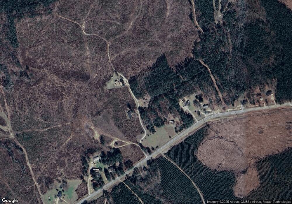
Map
Nearby Homes
- 1105 Shore Dr
- 1695 Buckhead Dr
- 11 Doe Run
- 1151 Buckhead Dr
- 29 Eagle Pointe
- LOT 31C Lbk Rd
- 0 Lbk Rd Unit 545965
- Lot 14b Lbk Cir
- 1108 Sunset Cove
- 1198 Sunset Cove
- 1192 Sunset Cove
- 1126 Sunset Cove
- 1272 Sunset Cove
- 1066 Pine Dr
- 1555 Treasure Cove
- 1584 Treasure Ln
- 1054 Pine Point Ln
- 1549 Treasure Ln
- 1485 Broad River Scenic Dr
- 1098 Chennault Dr
- 1487 Gills Point Rd
- 1541-A Wt Murray Ln
- 1432 Gills Point Rd
- 1405 Gills Point Rd
- 1375 Gills Point Rd
- 0 Gills Point Rd Unit 3066211
- 0 Gills Point Rd Unit 473818
- 1595 Gills Point Rd
- 1679 Gills Point Rd
- 1335 Gills Point Rd
- 0 W T Murray Ln
- 1324 Gills Point Rd
- 1742 Gills Point Rd
- 1541-C Wt Murray Ln
- 1541B Gills Point Rd
- 1086 Freeman Starks Dr
- 1270 Gills Point Rd
- 1754 Gills Point Rd
- 1784 Gills Point Rd