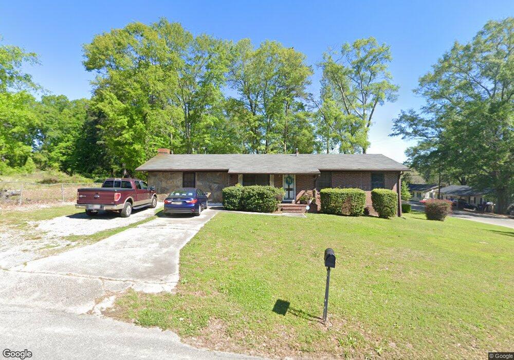
165 12th St Barnesville, GA 30204
Estimated Value: $49,763 - $268,000
2
Beds
1
Bath
728
Sq Ft
$182/Sq Ft
Est. Value
About This Home
This home is located at 165 12th St, Barnesville, GA 30204 and is currently estimated at $132,441, approximately $181 per square foot. 165 12th St is a home located in Lamar County with nearby schools including Lamar County Primary School, Lamar County Elementary School, and Lamar County Middle School.
Ownership History
Date
Name
Owned For
Owner Type
Purchase Details
Closed on
Feb 26, 2024
Sold by
Horton Bennie
Bought by
Horton Rafael L
Current Estimated Value
Purchase Details
Closed on
Jun 2, 2006
Sold by
Not Provided
Bought by
Horton Bennie
Purchase Details
Closed on
Mar 30, 2005
Sold by
Dennis Lena M
Bought by
Dennis Darrell L
Purchase Details
Closed on
Jun 1, 1984
Sold by
Smith William
Bought by
Dennis Lena May
Create a Home Valuation Report for This Property
The Home Valuation Report is an in-depth analysis detailing your home's value as well as a comparison with similar homes in the area
Home Values in the Area
Average Home Value in this Area
Purchase History
| Date | Buyer | Sale Price | Title Company |
|---|---|---|---|
| Horton Rafael L | -- | -- | |
| Horton Bennie | $24,000 | -- | |
| Dennis Darrell L | -- | -- | |
| Dennis Lena May | -- | -- |
Source: Public Records
Tax History
| Year | Tax Paid | Tax Assessment Tax Assessment Total Assessment is a certain percentage of the fair market value that is determined by local assessors to be the total taxable value of land and additions on the property. | Land | Improvement |
|---|---|---|---|---|
| 2025 | $487 | $20,078 | $20,078 | $0 |
| 2024 | $514 | $20,098 | $20,078 | $20 |
| 2023 | $555 | $20,098 | $20,078 | $20 |
| 2022 | $410 | $14,851 | $14,831 | $20 |
| 2021 | $337 | $11,213 | $11,013 | $200 |
| 2020 | $355 | $11,213 | $11,013 | $200 |
| 2019 | $356 | $11,213 | $11,013 | $200 |
| 2018 | $342 | $11,213 | $11,013 | $200 |
| 2017 | $422 | $13,933 | $11,013 | $2,920 |
| 2016 | $422 | $13,933 | $11,013 | $2,920 |
| 2015 | $422 | $13,933 | $11,013 | $2,920 |
| 2014 | $409 | $13,933 | $11,013 | $2,920 |
| 2013 | -- | $13,932 | $11,012 | $2,920 |
Source: Public Records
Map
Nearby Homes
- 339 Atlanta St
- 149 Akins St
- 250 Mill St
- 107 1st St
- 7 Jackson St
- 121 Westchester Dr
- 407 Westchester Dr
- 13 Brown St
- 531 Thomaston St
- 149 Holmes St
- 114 Stafford Ave
- 642 Greenwood St
- 178 Barnesville Ave
- 109 Barnesville Ave
- 147 Stafford Ave
- 24 Sims St
- 275 Rose Ave
- 205 Pine St
- 0 Veterns Pkwy Unit 10515268
- 0 College Dr Unit 10632977
- 165 12th St
- 165 12th St
- 165 12th St
- 106 Parkview Dr
- 107 Parkview Dr Unit B
- 107 Parkview Dr Unit A
- 107 Parkview Dr
- 103 Parkview Dr
- 101 Parkview Dr
- 107 Parkview Dr Unit A & B
- 103 Parkview Dr Unit A & B
- 101 Parkview Dr Unit A & B
- 160 Annie M Harris Dr
- 105 Parkview Dr
- 105 Parkview Dr Unit A & B
- 162 12th St
- 110 Parkview Dr
- 105 13th St Unit A & B
- 105 13th St
- 163 12th St
Your Personal Tour Guide
Ask me questions while you tour the home.